💭 Thinking
How this was derived · 2 steps
- Caminho Real do Paul do Mar Directions
- Vereda do Jardim do Mar Directions
- Levada da Rocha Vermelha 4.2 Directions
- Vereda do Túnel do Cavalo 4.6 Directions
- Levada do Risco 4.4 Directions
- Levada das 25 Fontes via the Rabaçal Tunnel 4.6 Directions
- Arco da Calheta - Sítio do Pinheiro via Levada Nova 4.3 Directions
- Caminho das Fontinhas - Caminho Cova do Arco - Levada Nova 4.2 Directions
- Rota Circular do Rabaçal via Vereda da Amelinha 4.3 Directions
- Rota da Levada do Risco via Túnel do Rabaçal 4.6 Directions
- Estrela - Levada do Alecrim 4.6 Directions
- Calheta Circular Route 4.2 Directions
Community route (mapped on AllTrails) — not part of Madeira's official PR trail network managed by IFCN (the regional government's forests & nature-conservation authority), so it has no official open/closed status and no maintained signage or guarantees. Check access and conditions locally before setting out.
| Difficulty | Moderate |
| Distance | 5.6 km (loop) |
| Estimated time | 2–2.5 hr |
| Route type | Loop |
| Area | Madeira Natural Park |
| AllTrails rating | 4.3★ from 163 hiker reviews |
| Trailhead | Arco da Calheta |
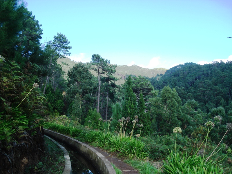
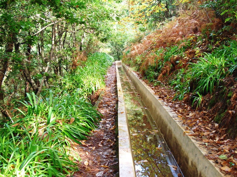
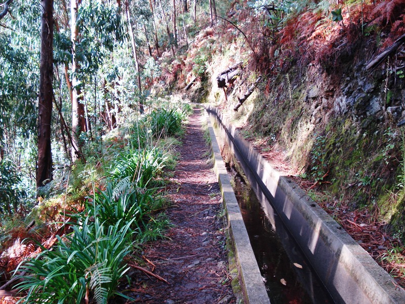
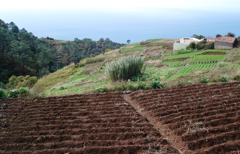
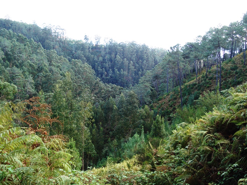
This circular route starts in the village of Arco da Calheta and follows the Levada Nova — one of the island's most enchanting irrigation channels. The path stays close to the water, winding through lush vegetation with sweeping panoramic views over the valley and out to the Atlantic Ocean.
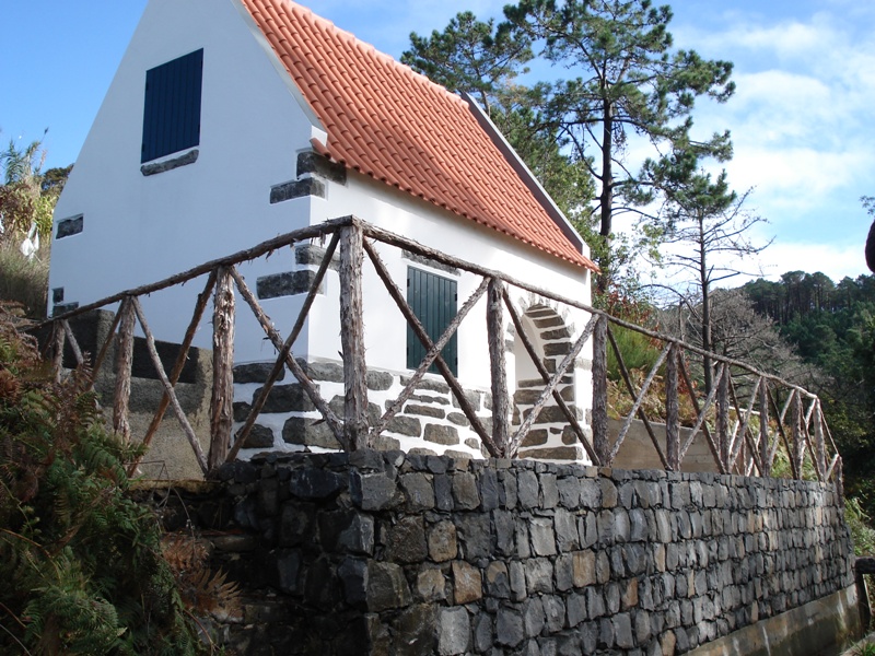
The route continues to Sítio do Pinheiro, a tranquil spot where nature still dominates the landscape, before looping back to the start via alternative paths — completing a circuit that combines the serenity of the levada walk with the charm of Madeira's rural hillside terrain.
- Trailhead location: Arco da Calheta (approx. Directions ↗)
- By car from Funchal: ~40 min drive (west on VE1/VR1, then exit toward Arco da Calheta)
- Not an official IFCN trail — there are no IFCN signposts, no maintained infrastructure, and no guaranteed rescue/insurance coverage along this route.
- No official open/closed status — conditions can change (landslides, fallen trees, flooding). Check locally or ask at the tourist information office in Calheta before you go.
- No access fee needed — since it's not a SIMplifica-gated trail, there's no charge (but also no official support).
- Wear proper hiking footwear and bring water — the path can be narrow and muddy in places.
Want me to check the mountain weather forecast and any IPMA warnings for the day you plan to go, or help you find the closest official PR trail as a signposted alternative?