💭 Thinking
How this was derived · 3 steps
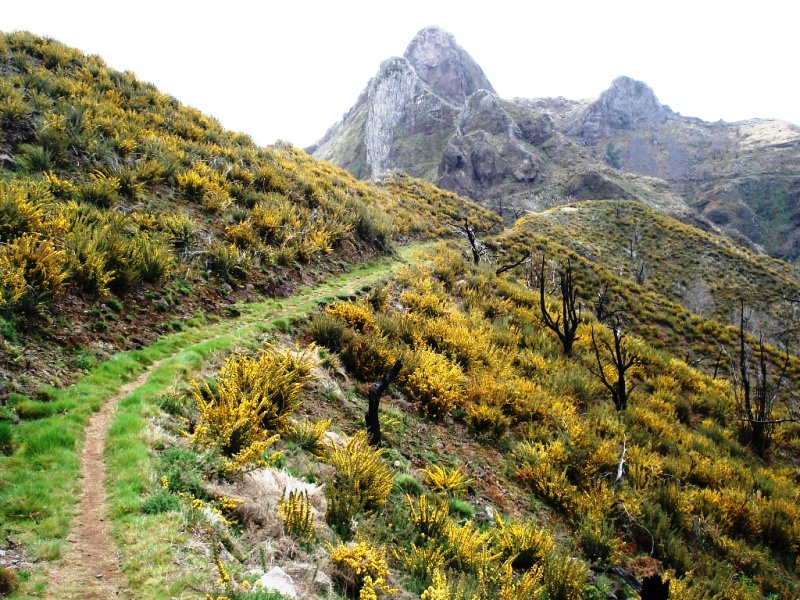
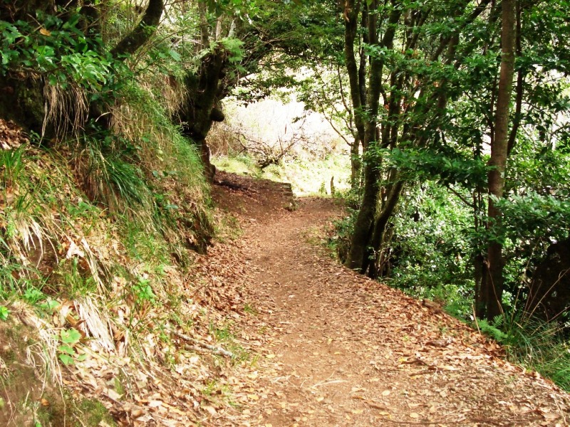
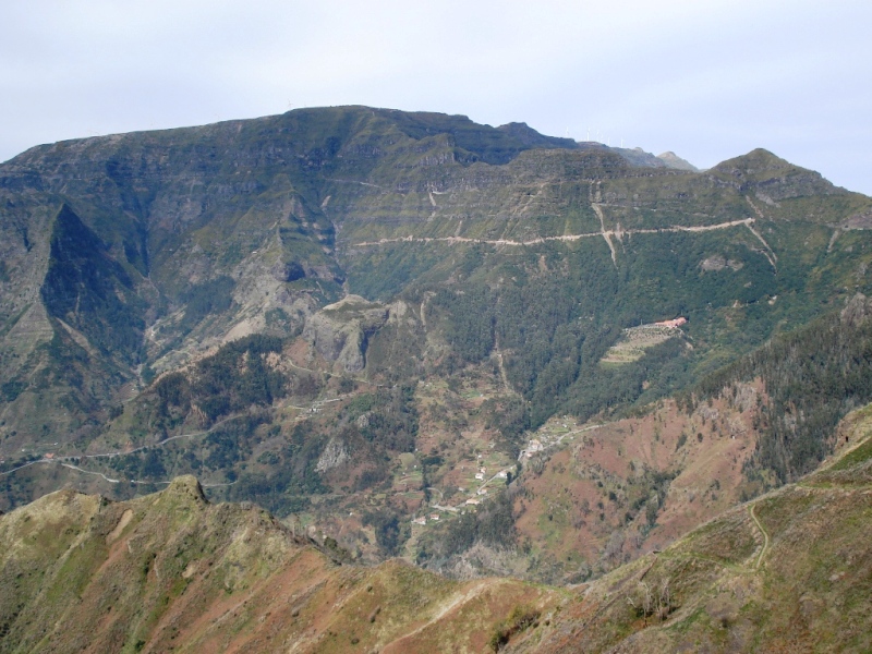
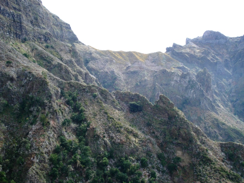
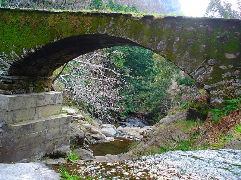
- Caminho Real da Encumeada Directions
- Caminho Real do Monte Directions
- Caminho do Pináculo e Folhadal 4.7 Directions
- Caminho do Norte Directions
- Vereda do Urzal Directions
- Boa Morte - Tunnel do Espigão 4.4 Directions
- Ribeira Brava - Levada Nova 4.4 Directions
- Boa Morte - Levada do Norte - Cabo Girão 4.4 Directions
- Footpath of Eira do Mourão 4.0 Directions
- Vereda do Espigão 4.0 Directions
- Ribeira Brava Coastal Path 3.7 Directions
- Rota Linear do Miradouro do Espigão via Levada do Norte 3.2 Directions
This is a community-mapped route on AllTrails — it is not part of Madeira's official PR (Percurso Recomendado) trail network managed by IFCN (the regional government's forests & nature-conservation authority). It therefore has no official open/closed status and no maintenance or signage guarantee. Check access and conditions locally before setting out.
| Type | Linear (out-and-back) |
| Length | 22.9 km |
| Difficulty | Hard |
| Estimated time | 7–7.5 hr |
| Area | Madeira Natural Park |
| Community rating | 4.4★ from 89 hiker reviews on AllTrails |
The trail follows the Levada do Norte — one of the largest and most important levadas on the island — from the village of Boa Morte near Ribeira Brava all the way west to Cabo Girão, Europe's highest sea-cliff skywalk. It crosses a large part of the island's south side, where the climate is milder and the route can be walked year-round.
Along the way you'll enjoy sweeping views over the parishes of Câmara de Lobos and Campanário, with terraced green fields, carefully worked agricultural plots, and dramatic mountain-and-sea scenery. The walk passes through the villages of Eira do Mourão and Espigão and tunnels through the hillside (the Tunel do Espigão), eventually reaching the spectacular cliff-edge viewpoint at Cabo Girão.
⚠️ Important: At 22.9 km out-and-back and rated hard, this is a long, demanding walk. Allow a full day, carry enough water and food, and be prepared for sections with narrow levada paths and unlit tunnels (bring a head torch).
Directions to the trailhead ↗ — the start point is near Boa Morte, Ribeira Brava.
If the full route sounds too long, the Boa Morte – Tunnel do Espigão covers the first section of the same levada — 12.7 km, rated moderate, 4–4.5 hr — also a community route (4.4★ from 145 reviews). Same caveat applies: unofficial, no official status.
The trail ends near one of Madeira's most iconic viewpoints: Cabo Girão, a 580 m sea cliff with a glass-floored skywalk looking straight down to the ocean.
Cabo Girão skywalk and views:
Would you like me to check the mountain weather forecast and IPMA warnings for the day you're planning to go, or look into how to get to the trailhead by bus?