OpenMadeira
Tell me about the Cabeço da Ponta Beach - Ana Ferreira Peak Geosite hike in Madeira
💭 Thinking
The user is asking about a specific hike in Madeira - "Cabeço da Ponta Beach - Ana Ferreira Peak Geosite". This sounds like it could be an official PR trail or a community/unofficial trail. Let me search for it using the find_hikes tool. Let me also search for curated videos and check if this is a known trail name.The user is asking about the "Cabeço da Ponta Beach - Ana Ferreira Peak Geosite" hike in Madeira. From the hike search results, this trail appears in the `community_trails` section — it's NOT an official IFCN PR trail, but a community route mapped on AllTrails. I need to present it with the proper caveat. Let me compile the details: - **Name:** Cabeço da Ponta Beach - Ana Ferreira Peak Geosite - **Type:** Loop trail - **Location:** Porto Santo - **Length:** 5.6 km - **Difficulty:** Moderate - **Estimated time:** 1.5–2 hours - **Rating:** 4.2★ from 41 reviews on AllTrails - **Starting elevation:** ~27m (Cabeço da Ponta) - **Description:** Starts at Cabeço da Ponta beach and heads inland, crossing arid terrain and low vegetation typical of Porto Santo. As you progress, the terrain becomes more rugged until reaching Pico Ana Ferreira Geosite, with impressive prismatic basalt columns formed by ancient volcanic eruptions. - **Trailhead coordinates:** 33.03763, -16.36089 - **Status:** No official open/closed status (community route, not IFCN-managed) - **URL:** AllTrails link I also have the elevation at the start point (27m at Cabeço da Ponta). Let me also find a video of this trail or the area to show.The user is asking about the "Cabeço da Ponta Beach - Ana Ferreira Peak Geosite" hike in Madeira (specifically Porto Santo). This trail appears in the community_trails section of the find_hikes results — it's NOT an official IFCN PR trail. I need to present it clearly with the community/unofficial trail caveat. From the results: - Name: Cabeço da Ponta Beach - Ana Ferreira Peak Geosite - Description: This circular route on the island of Porto Santo starts at Cabeço da Ponta beach and heads inland, crossing arid terrain and low vegetation, typical of the island's landscape. As you progress, the terrain becomes more rugged until you reach the Pico Ana Ferreira Geosite. Here, the impressive prismatic basalt columns, formed by ancient volcanic eruptions, stand out. - Rating: 4.2★ (41 reviews on AllTrails) - Difficulty: moderate - Length: 5.6 km - Route type: loop - Estimated time: 1.5–2 hr - Lat/lng: 33.03763, -16.36089 - Directions URL available - AllTrails URL available - Photo URL available - Elevation from check_terrain: 27m at Cabeço da Ponta This is a community/unofficial trail, so I need to clearly label it as such and mention it has no official open/closed status. There are no official PR trails matching this name — the closest official PR trails on Porto Santo are PR 1, PR 2, and PR 3. Let me compose the answer in English (the user's language).
How this was derived · 3 steps
Trails near Porto SantoMap & photos
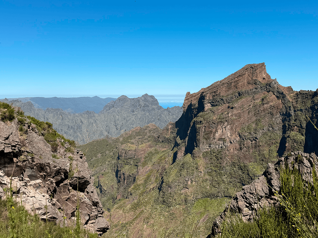
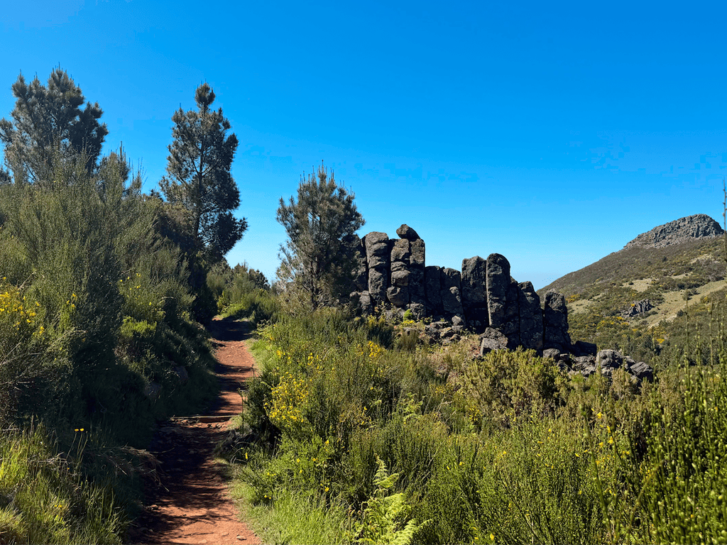
6 photos
Levada do Pico CasteloLevada do Pico CasteloLevada do Pico CasteloLevada do Pico CasteloLevada do Pico CasteloLevada do Pico Castelo
Official PR trail (IFCN) Community route (AllTrails — not official)
Photos: walkmeguide.com · green = official IFCN PR trail · amber = community route (AllTrails)
Cabeço da Ponta Beach – Ana Ferreira Peak Geosite

This is a community-mapped route on AllTrails — it is not part of Madeira's official PR trail network managed by IFCN (the regional government's forests and nature-conservation authority), so it has no official open/closed status and no maintenance or signage guarantee. Check access and conditions locally before setting out.

DifficultyModerate
Distance5.6 km (loop)
Estimated time1.5–2 hours
Start pointCabeço da Ponta beach, Porto Santo (≈27 m elevation)
Rating⭐ 4.2 / 5 from 41 hiker reviews on AllTrails
The route

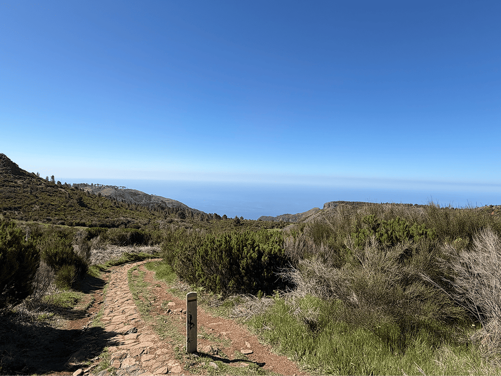
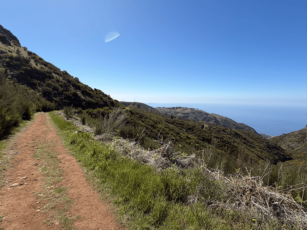
This circular route on Porto Santo starts at Praia do Cabeço da Ponta and heads inland, crossing arid terrain with low vegetation — typical of the island's dry, volcanic landscape. As you progress, the terrain becomes more rugged, climbing toward the Pico Ana Ferreira Geosite, the highlight of the walk. Here you'll find the island's most striking geological feature: impressive prismatic basalt columns formed by ancient volcanic eruptions, commonly nicknamed the "Piano" for their characteristic arrangement.

Nearby similar routes (community-mapped)

If you enjoy this area, there are a few other community trails around the same zone:

RouteDifficultyDistanceRating
Miradouro das Flores e Cabeço do ZimbralinhoModerate6.3 km⭐ 4.6 (39 reviews)
Ana Ferreira Peak TrailModerate2.3 km⭐ 3.7 (18 reviews)
Rota do Pico do EspigãoModerate8.7 km⭐ 4.5 (17 reviews)

All of these are also community routes — not official IFCN PR trails.

Official PR trails on Porto Santo

For comparison, Porto Santo has three official IFCN-recommended trails (with maintained paths, signage, and a €4.50 access fee):


📍 Directions to the trailhead ↗

Want me to check the weather forecast and any IPMA warnings for Porto Santo on the day you're planning to go?

OpenMadeira can make mistakes — check the sources.