OpenMadeira
Tell me about the Calheta to Ribeira Brava Cycling Route hike in Madeira
💭 Thinking
The user is asking about a specific hike called "Calheta to Ribeira Brava Cycling Route" in Madeira. Let me search for this trail using the find_hikes tool. This could be an official PR trail or a community/unofficial trail on AllTrails.The user is asking about the "Calheta to Ribeira Brava Cycling Route" hike. This doesn't appear in the official PR trail results or the community trails. Let me search more specifically for this trail name.The user is asking about the "Calheta to Ribeira Brava Cycling Route" as a hike in Madeira. From my searches, this doesn't appear to be an official IFCN PR hiking trail. The search results reference it as a cycling route (bike route), not a hiking trail. Let me look at the results more carefully: - The KE Adventure Travel result references a cycling holiday day from "Estreito da Calheta – Funchal" that passes through Ribeira Brava - The Bikemap result references "From Calheta to Ribeira Brava" as a cycling route - The Ribeira Brava municipality website has hiking routes (Levada do Norte, etc.) but nothing called "Calheta to Ribeira Brava Cycling Route" - The madeirahiking.org results list all official PR trails and none match this name This route appears to be a cycling/biking route, not a formal hiking trail. It's not in the official IFCN PR trail network. Let me search more specifically for this route name.The user is asking about the "Calheta to Ribeira Brava Cycling Route" as a hike in Madeira. I've searched extensively through our hike database and the web, and I cannot find any official IFCN PR trail by that name. The search results show that "Calheta to Ribeira Brava Cycling Route" is actually a cycling route, not a hiking trail, and it appears on platforms like KE Adventure Travel and Bikemap as a road cycling route. From the web search results, it's clear this is a cycling/road route, not an official Madeira hiking trail. The KE Adventure Travel tour notes describe it as Day 6 of a self-guided cycling holiday, cycling from Estreito da Calheta to Funchal via Ribeira Brava and Cabo Girão - approximately 50km on road. There's no official PR (Percurso Recomendado) trail with this name in Madeira's trail database. It's a cycling route on public roads, not a hiking trail. I should be clear with the user that this isn't an official hiking trail, explain what it actually is (a cycling route), and suggest nearby hiking alternatives in both the Calheta and Ribeira Brava areas.
How this was derived · 3 steps
Trails near Ribeira BravaMap & photos
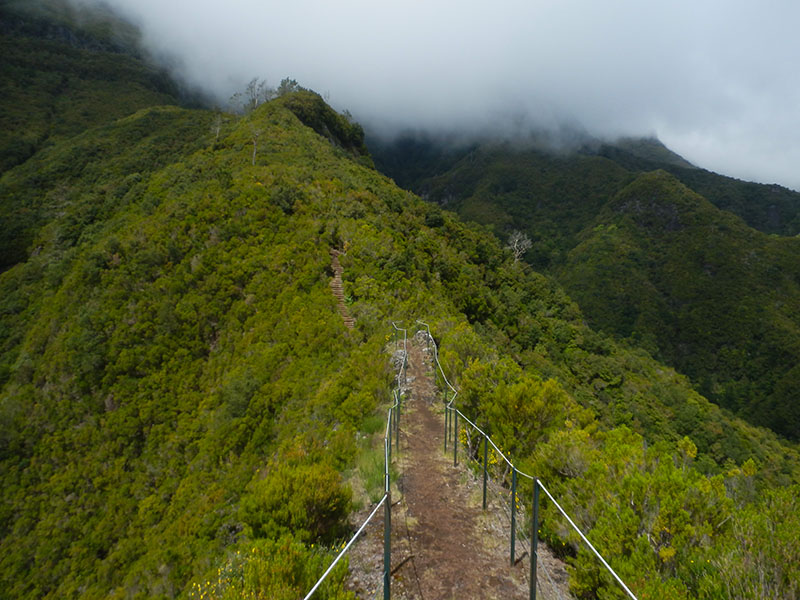
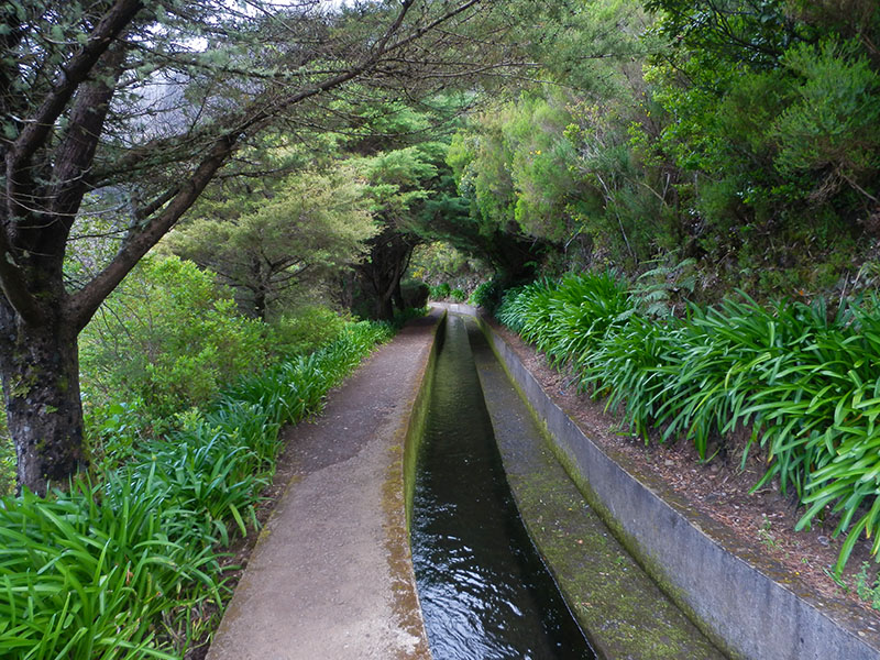
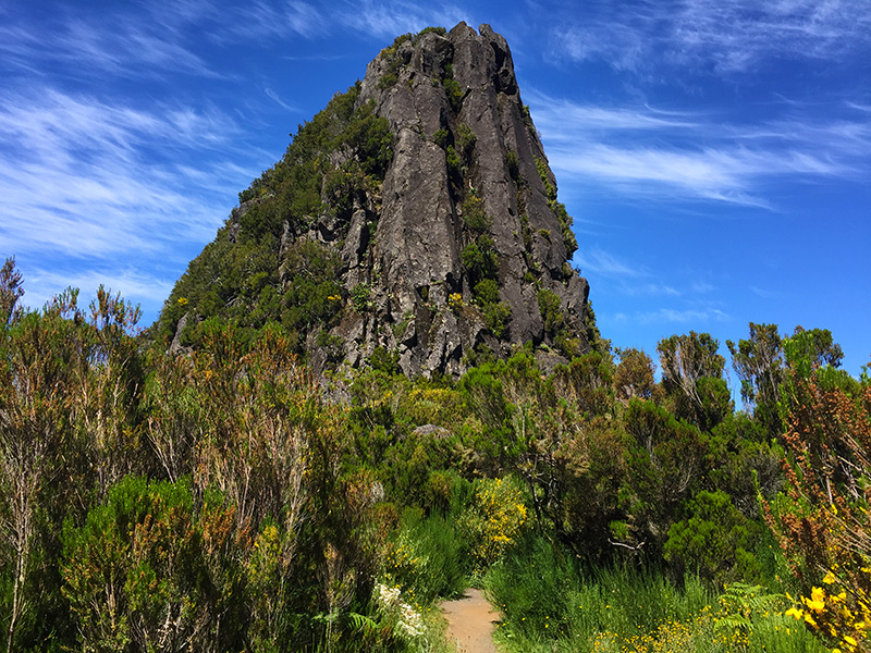
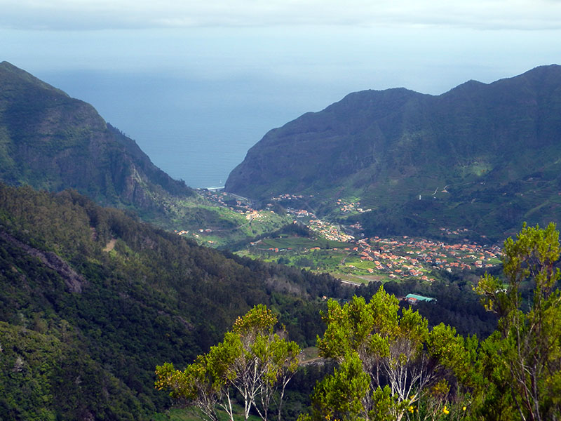
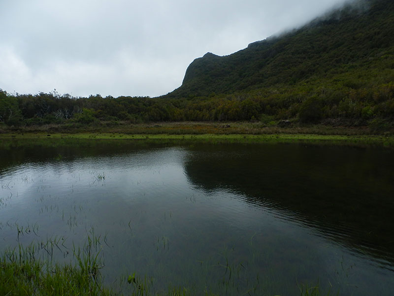
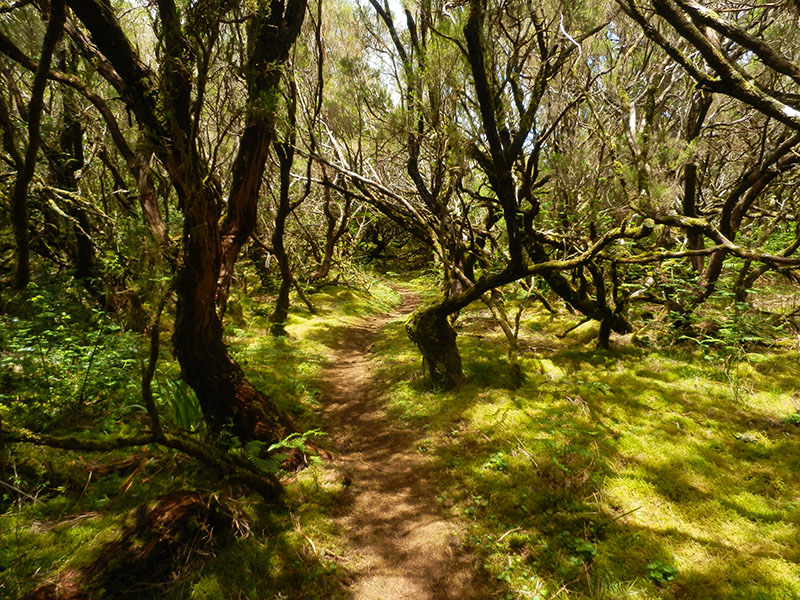
Caminho do Pináculo e Folhadal6 photos
Caminho do Pináculo e FolhadalCaminho do Pináculo e FolhadalCaminho do Pináculo e FolhadalCaminho do Pináculo e FolhadalCaminho do Pináculo e FolhadalCaminho do Pináculo e Folhadal
Official PR trail (IFCN) Community route (AllTrails — not official)
Photos: walkmeguide.com · green = official IFCN PR trail · amber = community route (AllTrails)
Calheta to Ribeira Brava Cycling Route — Not an Official Hiking Trail

I can't find an official Madeira hiking trail (PR route) called "Calheta to Ribeira Brava Cycling Route." This name actually refers to a road cycling route, not a hiking trail — it's the Day 6 stage of a self-guided cycling holiday, covering roughly 50 km on paved roads from Calheta along the south coast through Ribeira Brava and up to Cabo Girão before descending into Funchal. It's an asphalt road ride with very significant climbing (the stretch to Cabo Girão alone is ~580 m above sea level), not a levada or vereda footpath.

This route is not part of Madeira's official PR trail network managed by IFCN, and likely isn't suitable for hiking — it follows the main coastal road (ER-101) through tunnels and alongside traffic.


Hiking Alternatives in the Calheta & Ribeira Brava Area

If you're looking for proper trails in this region, here are the nearest official and community routes:

Near Calheta (official PR trails):

TrailDifficultyDistanceDurationFee
PR 19 — Caminho Real do Paul do MarModerate1.8 km~1 h 20 min€4.50
PR 20 — Vereda do Jardim do MarEasy1.9 km~1 h 30 min€4.50
PR 6.1 — Levada do RiscoEasy3 km~2 h€4.504.4★ (642 reviews on AllTrails)
PR 28 — Levada da Rocha Vermelha10.7 km€4.50

Near Ribeira Brava (community routes on AllTrails — not official IFCN PR trails):

  • Levada Nova – Levada do Moinho — 9.3 km loop, moderate, 4.7★ (6,103 reviews). A stunning circuit combining two levadas with waterfalls and a tunnel. Community route mapped on AllTrails — not part of Madeira's official PR trail network managed by IFCN, so it has no official open/closed status.
  • Ribeira Brava – Levada Nova — 12.6 km loop, moderate, 4.4★ (123 reviews). Follows the Levada Nova with views over Ribeira Brava and Tábua. Same unofficial status.

The most popular option connecting the south-west coast to the interior is PR 17 — Caminho do Pináculo e Folhadal (near Encumeada, between both areas): 15 km, difficult, ~6 h 30 min, 4.7★ on AllTrails — a dramatic ridge and levada traverse through Laurisilva forest.


Would you like me to show a video of one of these trails, or check the current trail status and mountain weather forecast for the day you're planning to hike?

OpenMadeira can make mistakes — check the sources.