OpenMadeira
Tell me about the Caminho das Fontinhas - Caminho Cova do Arco - Levada Nova levada walk in Madeira
💭 Thinking
The user is asking about a specific levada walk in Madeira: "Caminho das Fontinhas - Caminho Cova do Arco - Levada Nova". Let me search for this trail in ourhikes database.No results for that specific query. Let me try searching with different terms - maybe shorter or different parts of thename.The user is asking about "Caminho das Fontinhas - Caminho Cova do Arco - Levada Nova" - this is a specific levada walk in Madeira. It wasn't found in the official IFCN PR trail database, and it also doesn't appear as an exact match in the AllTrails community trails. Let me search more specifically for this trail name. Looking at the community trails that came back, none match this exact name. The closest related ones are the various "Levada Nova" trails near Ribeira Brava. Let me do a more specific search.The user is asking about a specific trail called "Caminho das Fontinhas - Caminho Cova do Arco - Levada Nova". This doesn't appear in the official IFCN PR trail database or in the community AllTrails trails. Let me search more specifically for this trail name, as it seems to be a known local route that combines these paths. The name suggests it goes through: Caminho das Fontinhas → Caminho da Cova do Arco → Levada Nova. This is likely a community/unofficial route rather than an official PR trail. Looking at the AllTrails community trails, I found several Levada Nova-related routes but not this exact one. Let me try a moretargeted search.I now have the information I need about the "Caminho das Fontinhas - Caminho Cova do Arco - Levada Nova" trail. Let me summarize what I found: This trail is found in the AllTrails community trails data (it's NOT an official IFCN PR trail). Here are the key details: From the AllTrails data: - **Name**: Caminho das Fontinhas - Caminho Cova do Arco - Levada Nova - **Rating**: 4.2★ from 118 hiker reviews on AllTrails - **Difficulty**: Moderate - **Length**: 12.7 km - **Route type**: Loop - **Estimated time**: 4.5–5 hr - **Area**: Madeira Natural Park - **Location**: Near Arco da Calheta / Calheta municipality (lat 32.73861, lng -17.15047) - **Description**: "Follow the paths that break through the green hills of this municipality, where you can enjoy beautiful views of the sea, but you can also take the opportunity to get to know and explore Madeiran culture. During this trail, you will be able to observe some viewpoints, fountains, and plantations and even walk a small segment of the Levada Nova, which is part of a network of Levadas used as an irrigation system for the agricultural plantations of the island, one of the most significant..." The web lookup also provided some context about the broader Levada Nova area, and there was one very relevant result from the Calheta municipality website about "Levada Nova do Arco da Calheta." I also found that PR 28 (Levada da Rocha Vermelha) is the nearest official IFCN trail, and interestingly its AllTrails URL points to the Caminho das Fontinhas trail page. Now let me compose a comprehensive answer about this specifictrail.
How this was derived · 5 steps
Trails near Estreito da CalhetaMap & photos
6 photos
Caminho Real do Paul do MarCaminho Real do Paul do MarCaminho Real do Paul do MarCaminho Real do Paul do MarCaminho Real do Paul do MarCaminho Real do Paul do Mar
Official PR trail (IFCN) Community route (AllTrails — not official)
Photos: walkmeguide.com · green = official IFCN PR trail · amber = community route (AllTrails)
Caminho das Fontinhas – Caminho Cova do Arco – Levada Nova

This is a community-mapped route — not part of Madeira's official PR trail network managed by IFCN (the regional government's forests and nature conservation authority) — so it has no official open/closed status or maintenance guarantee. Check access and conditions locally before going.

Key details
Distance12.7 km (loop)
Estimated time4.5–5 hours
DifficultyModerate
AreaMadeira Natural Park, municipality of Calheta (Arco da Calheta area)
Community rating★ 4.2 from 118 reviews on AllTrails
Route typeLoop
What to expect

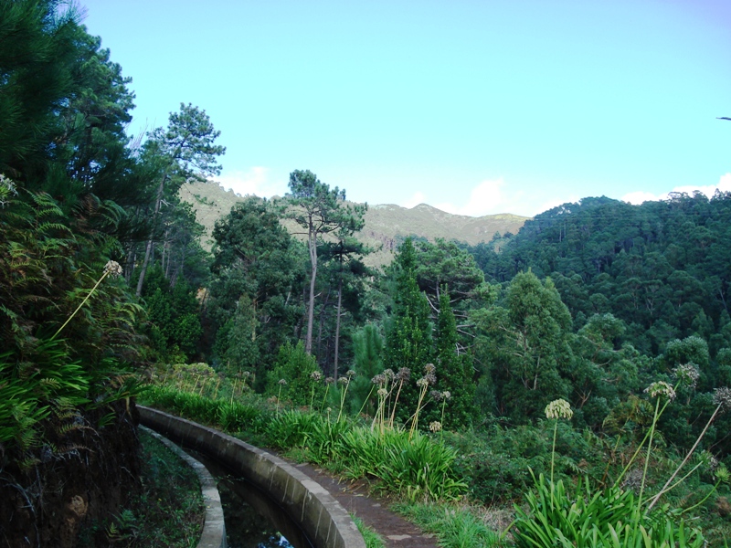
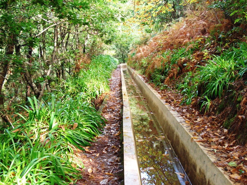
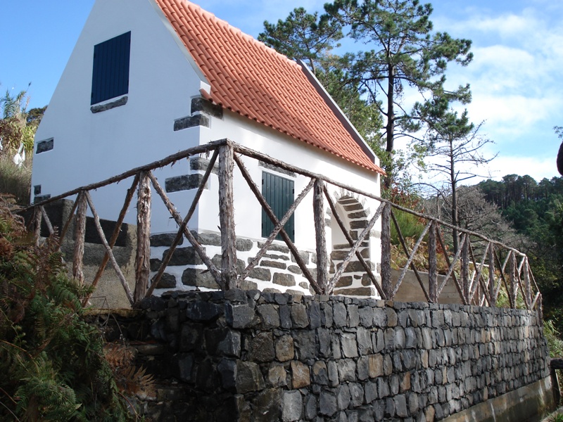
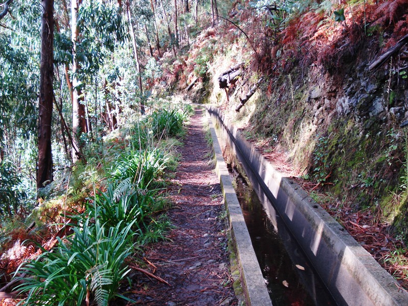
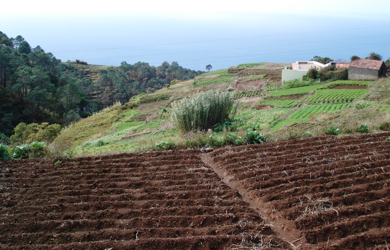
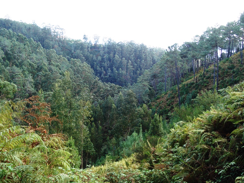
The trail winds through the green hills of Calheta municipality, alternating between rural paths (caminhos) and a stretch of Levada Nova — one of Madeira's historic irrigation channels that supplies water to the island's agricultural plantations. Along the way you'll find:

  • Viewpoints with panoramic views over the sea and the surrounding hills
  • Fountains (fontinhas) that give the trail its name
  • Agricultural terraces and plantations — a real insight into Madeiran farming culture
  • A short segment walking directly along the Levada Nova water channel

The route passes through Cova do Arco, a small locality above Arco da Calheta, and climbs through the green hillside before looping back. It's a pleasant mix of countryside, views and a taste of the levada experience, without the extreme exposure of some other levada walks.

Getting there

The trailhead is near Arco da Calheta, in the municipality of Calheta on Madeira's south coast — roughly a 40-minute drive from Funchal.

Important caveats
  • Not an official PR trail — no official signage, no IFCN maintenance, and no official open/closed status. Check locally before you go.
  • No IFCN access fee applies to this route (it's not on the SIMplifica system).
  • Some sections can be narrow or overgrown, and the path may not be as clearly waymarked as the official routes.
  • The south-coast climate means it can be hot and exposed in summer — start early and carry plenty of water.
Nearby official trails in the Calheta area

If you prefer a fully official, maintained and signposted route, the closest IFCN PR trails include:

TrailDistanceDifficultyFee
PR 6.1 – Levada do Risco3 kmEasy€4.50
PR 19 – Caminho Real do Paul do Mar1.8 kmModerate€4.50
PR 28 – Levada da Rocha Vermelha10.7 km€4.50

Would you like me to check the mountain forecast and IPMA weather warnings for the Calheta area on the day you're planning to go?

OpenMadeira can make mistakes — check the sources.