💭 Thinking
How this was derived · 2 steps
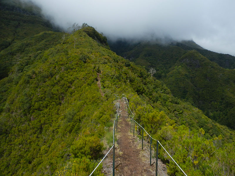
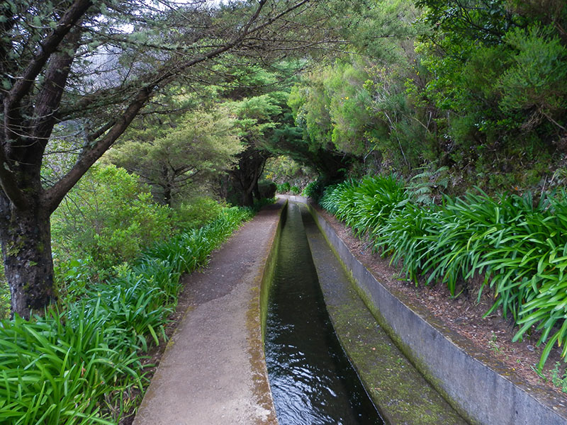
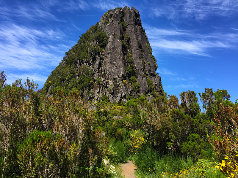
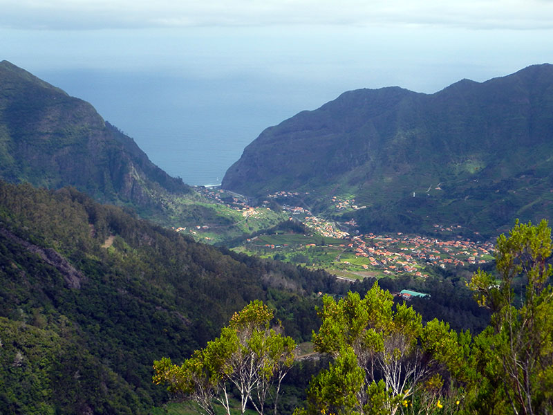
- Caminho do Pináculo e Folhadal 4.7 Directions
- Caminho do Norte Directions
- Caminho Real da Encumeada Directions
- Vereda do Chão dos Louros Directions
- Levada Fajã do Rodrigues Directions
- Levada Nova - Levada do Moinho 4.7 Directions
- Rota da Levada do Moinho 4.5 Directions
- Caminho das Cascatas da Levada Nova 4.7 Directions
- Tábua - Levada Nova 4.5 Directions
- Boa Morte - Tunnel do Espigão 4.4 Directions
- Ribeira Brava - Levada Nova 4.4 Directions
- Rota da Levada Nova a Lombada 4.4 Directions
The route you're asking about — Eira do Mourão – Câmara de Carga do Covão via Levada do Norte — isn't one of Madeira's official PR (Percurso Recomendado) trails managed by IFCN, so it has no official open/closed status or maintenance guarantee. However, the Levada do Norte section through Eira do Mourão is a well-known community hike, mapped on AllTrails in two overlapping routes. Here's what I found:
These are community-mapped routes (not part of the official IFCN PR trail network managed by Madeira's regional government's forests & nature authority), so they carry no official open/closed status — always check access and conditions locally before setting out.
The section of Levada do Norte that crosses the villages of Eira do Mourão and Espigão. This is likely the closest match to your described route — it follows the levada through Eira do Mourão and includes a tunnel section.
| Distance | 12.7 km (out & back) |
| Difficulty | Moderate |
| Estimated time | 4–4.5 hours |
| Community rating | ⭐ 4.4/5 (145 reviews on AllTrails) |
| Route type | Out and back |
The levadas are historic irrigation channels that cross the interior of the island, offering a scenic and cultural experience — views over green valleys, agricultural terraces, and traditional Madeiran villages.
Directions to trailhead ↗ · AllTrails page ↗
A longer stretch of the Levada do Norte, one of the largest and most important levadas on the island. It runs along the south side, where the climate is milder, making it walkable year-round. You'll enjoy panoramic views over the parishes of Câmara de Lobos and Campanário, with green fields and cultivated terraces throughout.
| Distance | 22.9 km (out & back) |
| Difficulty | Hard |
| Estimated time | 7–7.5 hours |
| Community rating | ⭐ 4.4/5 (89 reviews on AllTrails) |
| Route type | Out and back |
Directions to trailhead ↗ · AllTrails page ↗
- These are not official IFCN-recommended PR trails — there's no official signage, maintenance guarantee, or open/closed status.
- The Câmara de Carga do Covão (the Covão surge/pressure chamber) is a hydraulic structure along the Levada do Norte water system; your specific described route likely overlaps with the Boa Morte – Tunnel do Espigão community route above.
- Always check conditions locally before heading out, and carry a torch for any tunnel sections.
Would you like me to check the mountain weather forecast and IPMA warnings for tomorrow so you can judge conditions before going?