OpenMadeira
Tell me about the Estanquinhos - Pico Ruivo - Achada do Teixeira [CLOSED] hike in Madeira
💭 Thinking
The user is asking about a specific hike: "Estanquinhos - Pico Ruivo - Achada do Teixeira" which they note is CLOSED. Let me look this up with find_hikes to get the official details.The search returned 0 results. Let me try a broader search, maybe with just "Pico Ruivo" or the PR code for this trail. Actually, the trail "Estanquinhos - Pico Ruivo - Achada do Teixeira" sounds like it could be PR 1 or PR 2 or another PR trail. Let me search morebroadly.The user asked about "Estanquinhos - Pico Ruivo - Achada do Teixeira [CLOSED]" hike. Looking at the results, I don't see an exact match with that name in the official PR trails, but I do see a close match in the community trails: "Queimadas - Pico Ruivo - Achada do Teixeira [CLOSED]" which is a community (non-official) route on AllTrails. Wait, the user specifically asked about "Estanquinhos - Pico Ruivo - Achada do Teixeira [CLOSED]". Let me look more carefully... The exact name "Estanquinhos - Pico Ruivo - Achada do Teixeira" doesn't appear in either the official hikes or the community trails. However, there's "Queimadas - Pico Ruivo - Achada do Teixeira [CLOSED]" which is very similar - it goes from Queimadas (not Estanquinhos) to Pico Ruivo to Achada do Teixeira. There's also "Estanquinhos - Pico Ruivo do Paul - Fontes Ruivas" which starts at Estanquinhos but goes to Pico Ruivo do Paul (a different peak on Paul da Serra), not to Pico Ruivo (the island's highest peak). The user might be confusing these two, or there may be a variant. The "[CLOSED]" tag in the user's query matches the "Queimadas - Pico Ruivo - Achada do Teixeira [CLOSED]" community trail exactly. Let me provide information about the closest match - the "Queimadas - Pico Ruivo - Achada do Teixeira [CLOSED]" community trail, since that's the one with "[CLOSED]" in its name and goes through Pico Ruivo and Achada do Teixeira. I should note the name difference (Estanquinhos vs Queimadas) and clarify. Actually, I should also mention the Estanquinhos trail for context. Let me compose a helpful answer. The "Queimadas - Pico Ruivo - Achada do Teixeira [CLOSED]" trail details: - Community route (not an official IFCN PR trail) - Rating: 4.7★ from 62 reviews on AllTrails - Difficulty: hard - Length: 14.6 km - Route type: loop - Estimated time: 7.5–8 hr - Description: "This circular route starts at the Queimadas Forest Park, known for its thatched-roof shelter house and the lush vegetation of the Laurissilva forest. The route continues along the Levada do Caldeirão Verde towards Pico Ruivo, passing through tunnels carved into the rock, moss-covered slopes and impressive views over deep valleys. As you gain altitude, the landscape changes: the damp greens of the forest give way to steep, rocky slopes with open views of the island's highest peaks..." - Coordinates: 32.78429, -16.90574 I should note the "[CLOSED]" designation in the name and clarify what this means for the trail.
How this was derived · 3 steps
TrailsMap & photos
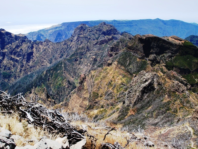
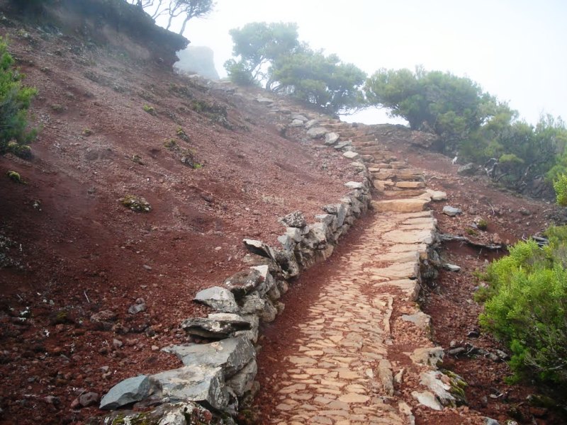
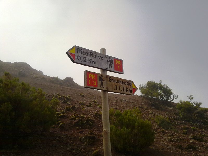
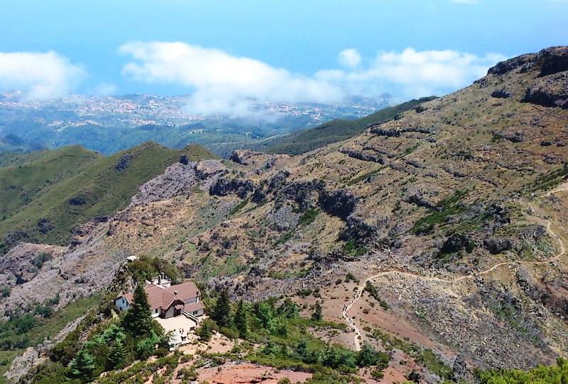
Vereda do Pico Ruivo6 photos
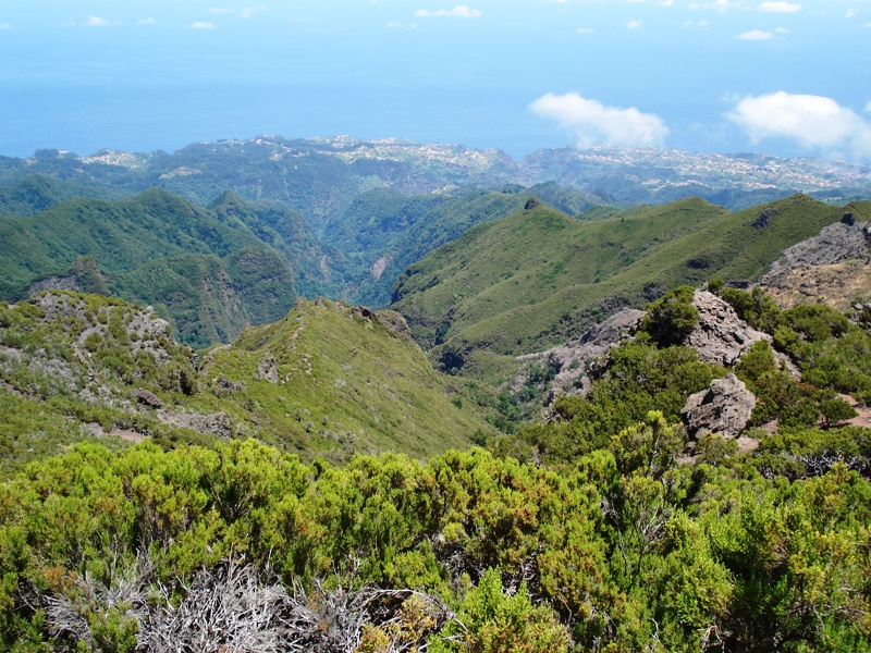
Vereda do Pico RuivoVereda do Pico RuivoVereda do Pico RuivoVereda do Pico RuivoVereda do Pico RuivoVereda do Pico Ruivo
Official PR trail (IFCN) Community route (AllTrails — not official)
Photos: walkmeguide.com · green = official IFCN PR trail · amber = community route (AllTrails)

The trail you're asking about is closest to the Queimadas – Pico Ruivo – Achada do Teixeira route — a community-mapped trail on AllTrails, not part of Madeira's official IFCN PR trail network. (The name "Estanquinhos" may be a mix-up with the separate Estanquinhos – Pico Ruivo do Paul – Fontes Ruivas walk on Paul da Serra, which goes to a different peak.)

Here's what I have on it:

Queimadas – Pico Ruivo – Achada do Teixeira

⚠️ Community route — mapped on AllTrails — not part of Madeira's official PR (Percurso Recomendado) trail network managed by IFCN, the regional government's forests & nature-conservation authority. It therefore has no official open/closed status and no maintenance/signage guarantee; the "[CLOSED]" tag in its AllTrails name reflects community-reported access issues, not an IFCN designation. Check conditions locally before going.

Rating4.7★ from 62 hiker reviews on AllTrails
DifficultyHard
Distance14.6 km (loop)
Estimated time7.5–8 hours
StartQueimadas Forest Park
HighlightsPico Ruivo (1,862 m — Madeira's highest peak), tunnels carved into rock, Laurissilva forest, deep-valley views
Route description

The circular route starts at Queimadas Forest Park, known for its thatched-roof shelter house and lush Laurissilva vegetation. It follows the Levada do Caldeirão Verde towards Pico Ruivo, passing through rock-carved tunnels, moss-covered slopes and dramatic valley views. As you gain altitude, the damp forest gives way to steep, rocky terrain with panoramic views of the island's highest peaks.

Directions to trailhead ↗


If you want an official alternative

The nearest official IFCN trail to Pico Ruivo is PR 1.2 – Vereda do Pico Ruivo, which goes from Achada do Teixeira → Pico Ruivo (2.8 km one way, ~1 h 30 min each direction, moderate difficulty). It's the standard, well-maintained path to the summit and requires a €4.50 access fee (visitors > 12 years; ≤ 12 free) via the SIMplifica portal.

Would you like me to check the mountain weather forecast and IPMA warnings for the day you're planning to go? Weather changes fast up at Pico Ruivo, and it can make all the difference.

OpenMadeira can make mistakes — check the sources.