💭 Thinking
How this was derived · 3 steps
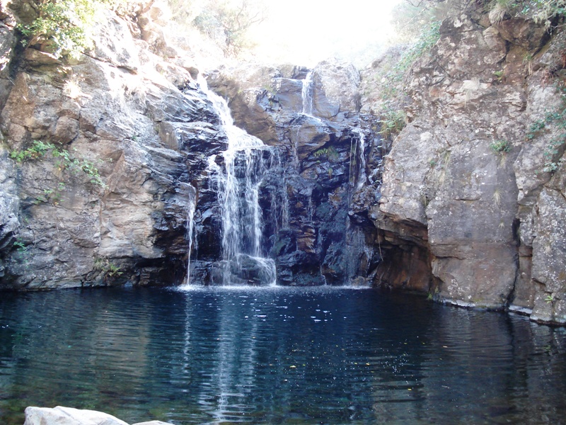


- Levada do Alecrim 4.6 Directions
This is a community route mapped on AllTrails — not part of Madeira's official PR (Percurso Recomendado) trail network managed by IFCN (the regional government's forests and nature-conservation authority). That means it has no official open/closed status and no guaranteed maintenance or signage — check access and conditions locally before going.
| Difficulty | Hard |
| Distance | 11.4 km |
| Route type | Point to point (linear) |
| Estimated time | 4.5–5 hours |
| Area | Madeira Natural Park |
| Community rating | 4.6★ from 92 hiker reviews on AllTrails ↗ |
This linear trail climbs from the village of Estrela up to Levada do Alecrim, passing through rural and forest landscapes along the way. Once on the levada, it follows the watercourse — which starts near the Chapel of Fátima — and leads to the Lagoa Dona Beja, a tranquil natural lagoon. Along the way you'll encounter waterfalls surrounded by dense vegetation, making for a very immersive nature experience.
Directions to trailhead ↗ — the start point is near the village of Estrela, in the municipality of Calheta.
Note that there is an official IFCN trail covering part of this same levada — PR 6.2 Levada do Alecrim — which starts from Rabaçal rather than Estrela:
- Difficulty: Easy
- Distance: 3.5 km (+ 3.5 km return)
- Duration: ~2 h 30 min
- Start: Rabaçal (E.R. 105) — End: Water spring of Levada do Alecrim (Lagoa Dona Beja)
- Altitude: 1,256 m – 1,339 m
- Access fee: €4.50 for visitors > 12 years (via the SIMplifica portal); free for children ≤ 12
PR 6.2 is rated 4.6★ from 1,719 hiker reviews on AllTrails ↗ and is managed by IFCN. Visit Madeira page ↗
The route you asked about (Estrela – Levada do Alecrim) is essentially a longer, harder approach that starts lower down in the village and climbs up to join the levada, versus the official PR 6.2 which starts at Rabaçal near the top.
Would you like me to check the mountain weather forecast and IPMA warnings for the Rabaçal/plateau area before you plan this hike?