💭 Thinking
How this was derived · 4 steps
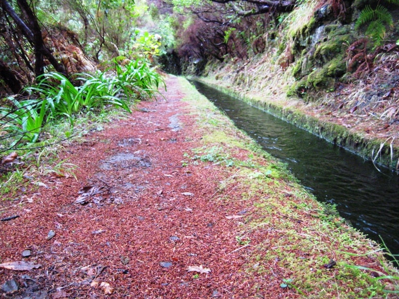
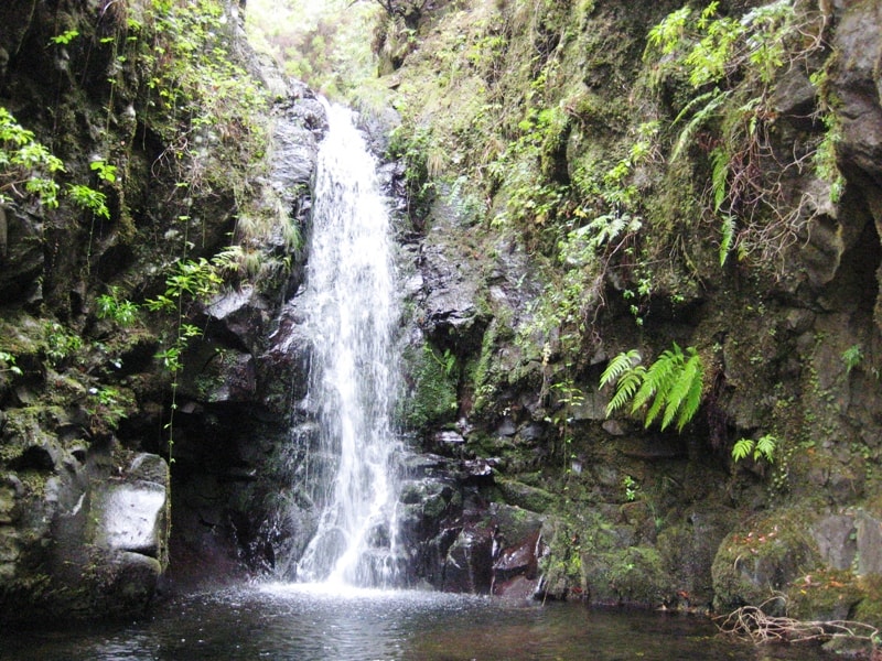
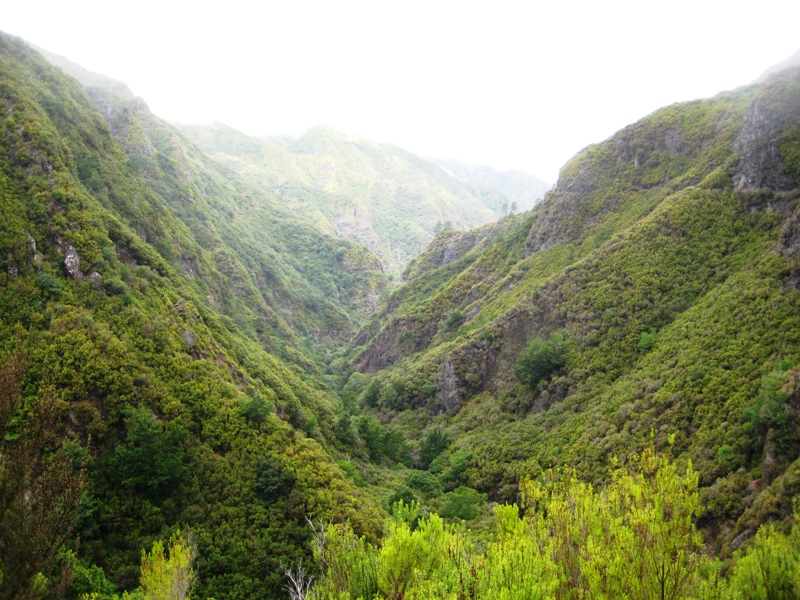
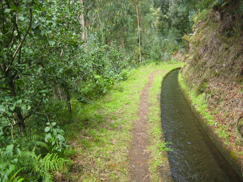
- Levada da Rocha Vermelha 4.2 Directions
- Vereda da Lagoa do Vento Directions
- Levada do Alecrim 4.6 Directions
I couldn't find a trail called "Fajã do Mar Beach – Loreto" in Madeira's official or community hiking records. Here's what's going on:
The best-known Fajã do Mar hiking trail is PRC46 SMI, and it's on São Miguel island in the Azores — not on Madeira. It's a ~5 km circular route starting at the Vigia das Baleias viewpoint in Feteiras, descending to the Fajã do Mar coastal platform with views of volcanic cliffs, old wineries, and seabird nesting areas. The "Loreto" part of the name likely refers to a waymarker or junction on or near that same Azores trail.
There is a small settlement called Fajã do Mar on Madeira's south coast (in the municipality of Calheta), but it doesn't have an official PR trail by that name. The closest official trails near that area are:
| Trail | Distance from Fajã do Mar | Difficulty | Highlights |
|---|---|---|---|
| PR 28 – Levada da Rocha Vermelha | ~8 km / 17 min drive | Moderate | Fanal → Lombo da Atouguia, 10.7 km, access fee €4.50 |
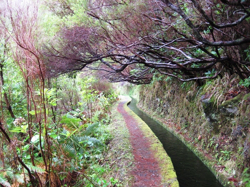
| PR 6.2 – Levada do Alecrim | ~12 km / 21 min drive | Easy | Rabaçal → Lagoa Dona Beja, 7 km return, 4.6★ (AllTrails) |
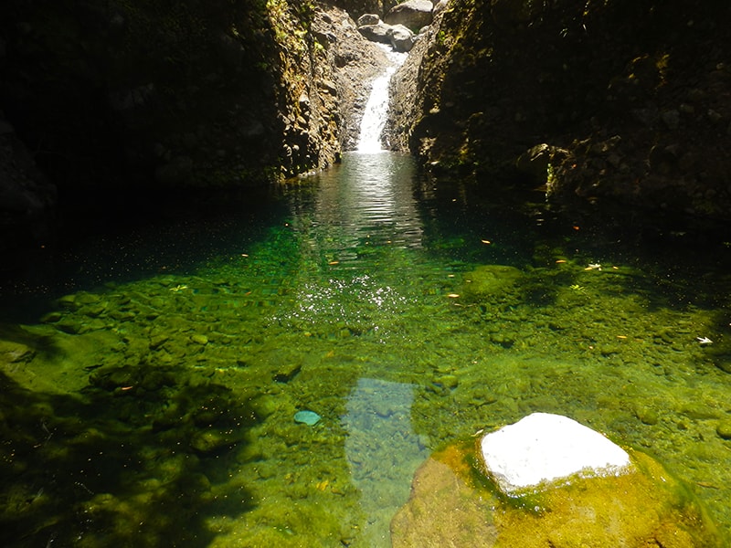
| PR 6.3 – Vereda da Lagoa do Vento | ~11 km / 21 min drive | Easy | Rabaçal → Lagoa do Vento waterfall pool |
- Arco da Calheta – Sítio do Pinheiro via Levada Nova — 5.6 km loop, moderate, 4.3★ (163 reviews) — not an official IFCN-recommended PR trail
- Caminho das Fontinhas – Levada Nova — 12.7 km loop, moderate, 4.2★ — not an official IFCN trail
Bottom line: If you were thinking of the Fajã do Mar coastal hike with volcanic cliffs and old wineries, that's on São Miguel (Azores), not Madeira. If you're looking for hikes near the Fajã do Mar settlement on Madeira's Calheta coast, the Rabaçal-area trails above are your best bets.
Would you like me to check the mountain forecast + IPMA warnings for the day you want to hike one of these trails?