💭 Thinking
How this was derived · 4 steps
- Levada da Rocha Vermelha 4.2 Directions
- Levada do Paul II – Um Caminho para todos Directions
- Vereda da Lagoa do Vento Directions
- Levada do Alecrim 4.6 Directions
- Levada das 25 Fontes 4.5 Directions
- Rota da Banana in Madalena do Mar (Banana Route) 4.5 Directions
- Rota da Banana (Banana Route) 4.4 Directions
- Arco da Calheta - Sítio do Pinheiro via Levada Nova 4.3 Directions
- Caminho das Fontinhas - Caminho Cova do Arco - Levada Nova 4.2 Directions
- Estrela - Levada do Alecrim 4.6 Directions
- Calheta Circular Route 4.2 Directions
- RB1: Vereda da Ladeira 4.4 Directions
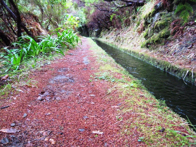
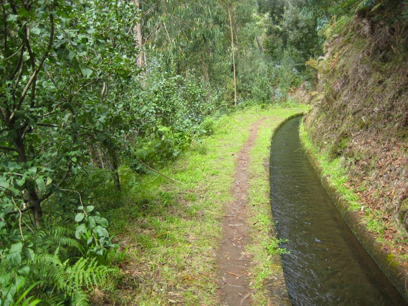
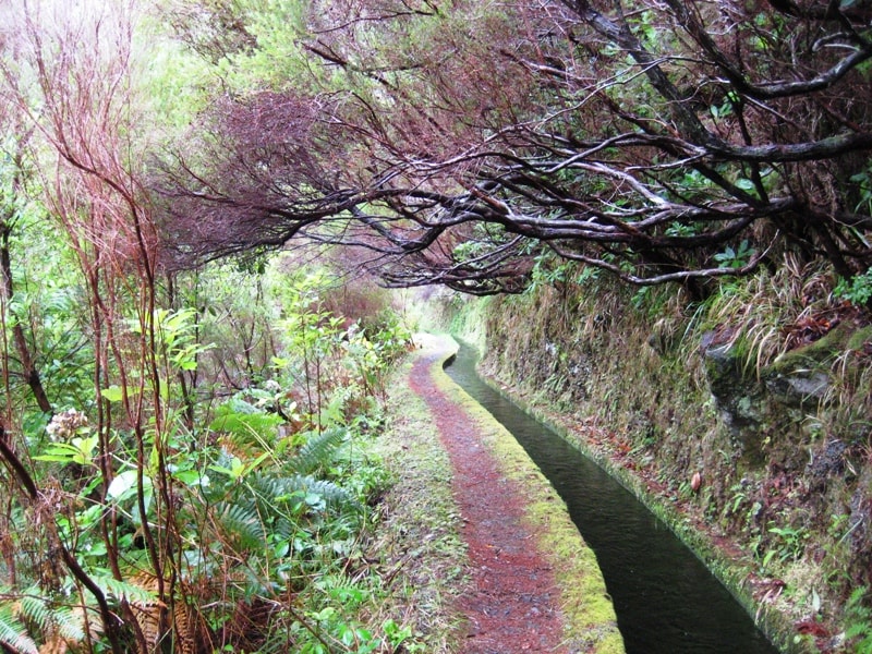
The walk you're asking about is the Levada Nova do Arco da Calheta — also known locally as the Levada da Calheta–Ponta do Sol or Levada Nova dos Canhas. It's a beautiful levada walk stretching from the Calheta hydroelectric plant through Arco da Calheta and on towards Canhas (Ponta do Sol municipality).
⚠️ Important note: This is a municipal trail managed by the Câmara Municipal da Calheta, not part of Madeira's official IFCN PR (Percurso Recomendado) trail network. That means it has no official open/closed status monitored by IFCN — check local conditions before setting out.
| Start | Central Hidroelétrica da Calheta |
| End | Lombo de São João (Caminho Fonte do Coxo) |
| Distance | ~16 km (full linear route) |
| Duration | ~5 hours |
| Difficulty | Moderate |
| Type | Linear (point to point) |
| Official code | LNAC |
Opened in April 2015, this levada is the continuation of the older Levada Nova da Calheta project, finally extending the irrigation channel through the parish of Arco da Calheta and on into the neighbouring municipality of Ponta do Sol (towards Canhas). The water it carries serves both agricultural irrigation and hydroelectric power generation at the Calheta plant.
Along the route you'll pass through:
- Endemic and introduced forest — lush laurel and eucalyptus stretches
- Agricultural terraces — recovered farmland with traditional Madeiran cultivation
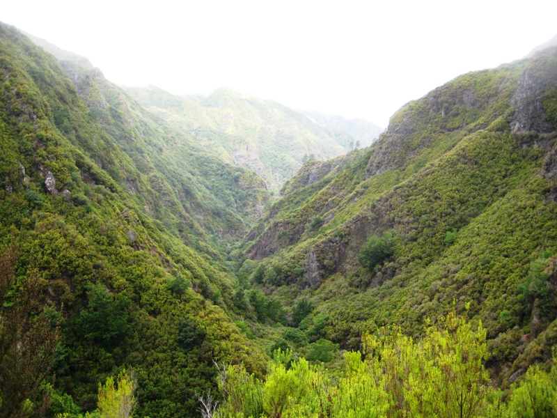
- Panoramic viewpoints — sweeping views over the parishes of Calheta and Arco da Calheta, with the Atlantic Ocean as a backdrop across much of the walk
- Tunnels — the broader levada system includes over 4.7 km of tunnels; bring a torch
- Some exposed sections have handrails, but vertigo-sensitive walkers may find parts uncomfortable
- Multiple exit points — the trail crosses local access roads at several points, so you can shorten the walk if needed
- Wear comfortable footwear suitable for a route of this length
- Carry enough food and water for 5+ hours
- Bring a torch/headlamp for any tunnels
The start at the Central Hidroelétrica da Calheta is in the Calheta municipality, about a 40-minute drive west of Funchal.
If the full 16 km sounds like a lot, there are some popular shorter routes in the same area:
- Arco da Calheta – Sítio do Pinheiro via Levada Nova — a 5.6 km circular route (4.3★ from 163 hiker reviews on AllTrails). Community route mapped on AllTrails — not an official IFCN PR trail.
Sources: Câmara Municipal da Calheta · WorldTrails
Would you like me to check the mountain forecast and any weather warnings for the day you're planning to go, or help you find how to get there by bus?