💭 Thinking
How this was derived · 1 step


- Levada do Alecrim 4.6 Directions
The walk you're asking about — Arco da Calheta / Chapel of Our Lady of Fátima to Levada do Alecrim — is a community-mapped trail on AllTrails, not one of Madeira's official IFCN PR trails. Here's what I found:
Community route (mapped on AllTrails) — not part of Madeira's official PR trail network managed by IFCN, the regional government's forests and nature-conservation authority. It has no official open/closed status and no maintenance/signage guarantee; check access and conditions locally before going.
| Difficulty | Hard |
| Distance | 11.4 km |
| Route type | Point to point |
| Estimated time | 4.5–5 hr |
| AllTrails rating | ★4.6 from 92 reviews |
| Location | Madeira Natural Park area |
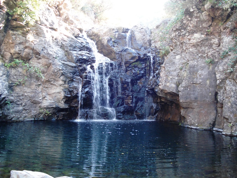
This linear route climbs from the village of Estrela (near Arco da Calheta) to Levada do Alecrim. The levada starts near the Chapel of Fátima (Capela de Nossa Senhora de Fátima) and leads to the Lagoa Dona Beja lagoon. Along the way you'll pass through rural and forest landscapes, with waterfalls surrounded by dense vegetation.
▶ Directions to trailhead ↗ · AllTrails page ↗
The same levada has an official IFCN trail — PR 6.2 Levada do Alecrim — which starts higher up at Rabaçal (E.R. 105) and follows the channel to the Lagoa Dona Beja spring. It's shorter and easier:
| Difficulty | Easy |
| Distance | 3.5 km (+ 3.5 km return) |
| Duration | ~2 h 30 min |
| Start → End | Rabaçal → Lagoa Dona Beja |
| Altitude | 1,256 m – 1,339 m |
| Access fee | €4.50 (over 12 years), free under 12 (via SIMplifica portal) |
| AllTrails rating | ★4.6 from 1,719 reviews |
| Official info | VisitMadeira ↗ |
Because it starts at Rabaçal (~1,260 m altitude), PR 6.2 avoids the long climb from the Chapel of Fátima below — making it a much gentler walk while still following the same beautiful levada channel to the lagoon and waterfalls. It's also one of the most popular and highest-rated trails on the island.
▶ Directions to PR 6.2 trailhead (Rabaçal) ↗
There's also a shorter community route that starts right in Arco da Calheta — Arco da Calheta – Sítio do Pinheiro via Levada Nova (5.6 km loop, moderate, ~2–2.5 h, ★4.3 from 163 reviews) — a circular walk that follows Levada Nova with panoramic views of the valley and ocean. Directions ↗ · AllTrails ↗
Be sure to check the current trail status before heading out, as conditions can change. Would you like me to check the mountain weather forecast and any IPMA warnings for the day you're planning to go?