💭 Thinking
How this was derived · 3 steps
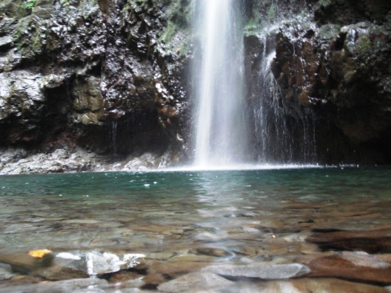


- Levada do Caldeirão Verde 4.6 Directions
The route you're asking about — Caldeirão Verde – Caldeirão do Inferno – Miradouro do Lombo da Ilha — is a community-mapped trail on AllTrails, not one of Madeira's official PR (Percurso Recomendado) trails managed by IFCN (the regional government's forests & nature-conservation authority). It has no official open/closed status and no maintenance/signage guarantee — so check access and conditions locally before setting out.
| Type | Out & back |
| Distance | ~19.6 km |
| Estimated time | 9.5–10.5 hours |
| Difficulty | Hard |
| Rating | 4.6★ from 24 hiker reviews on AllTrails ↗ |
| Start / end | Parque das Queimadas (Santana) |
| Altitude | Climbs to ~990 m |
This route extends the classic Levada do Caldeirão Verde all the way past the Caldeirão do Inferno waterfall to the Miradouro do Lombo da Ilha viewpoint — adding significant extra distance and time beyond the standard walk. It passes through tunnels carved into the rock, moss-covered slopes and steep valleys in the heart of the Laurissilva forest.
The first portion overlaps with the official PR 9 – Levada do Caldeirão Verde, which is managed by IFCN:
| Route | Queimadas → Caldeirão Verde → Caldeirão do Inferno |
| Distance | 8.7 km one way (+ 8.7 km return) |
| Duration | ~6 h 30 min |
| Difficulty | Moderate |
| Max altitude | 1 020 m · Min 872 m |
| Managing entity | IFCN |
| Access fee | €4.50 (visitors > 12 yrs) via the SIMplifica portal; ≤ 12 yrs free · Parking €2/hour |
The levada was built in the 18th century along the main bed of the Ribeira do Caldeirão Verde. Starting at the Queimadas Forest Park — with its iconic thatched-roof shelter house modelled on Santana's traditional casinhas — the trail winds through lush laurel forest, crossing tunnels and water channels before reaching the spectacular Caldeirão Verde waterfall (one of the island's highest) and continuing to the even more dramatic Caldeirão do Inferno.
PR 9 is one of Madeira's most popular trails: 4.6★ from 4 562 hiker reviews on AllTrails, with highlights including the waterfall, forest, river views and wildlife.
⚠️ Before you go: Check the current trail status on OpenMadeira — the PR 9 section's official open/closed status can change, and the extension to Miradouro do Lombo da Ilha has no official status at all. Also check the mountain-weather forecast and IPMA warnings, as conditions at ~1 000 m can change rapidly.
Want me to check the current weather forecast and any IPMA warnings for the Queimadas / Santana mountains area, or show you how to get to the trailhead by bus?