💭 Thinking
How this was derived · 1 step
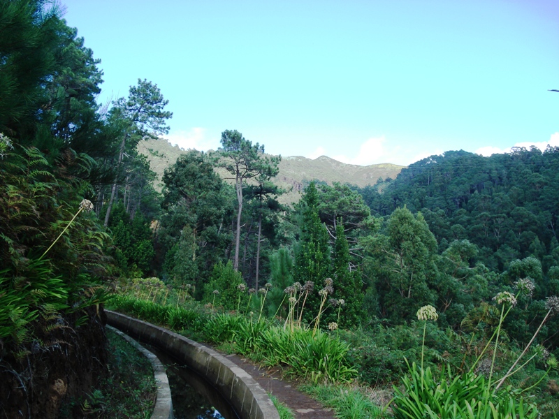
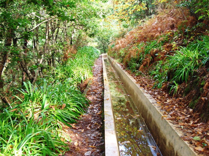
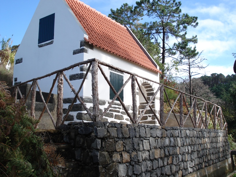
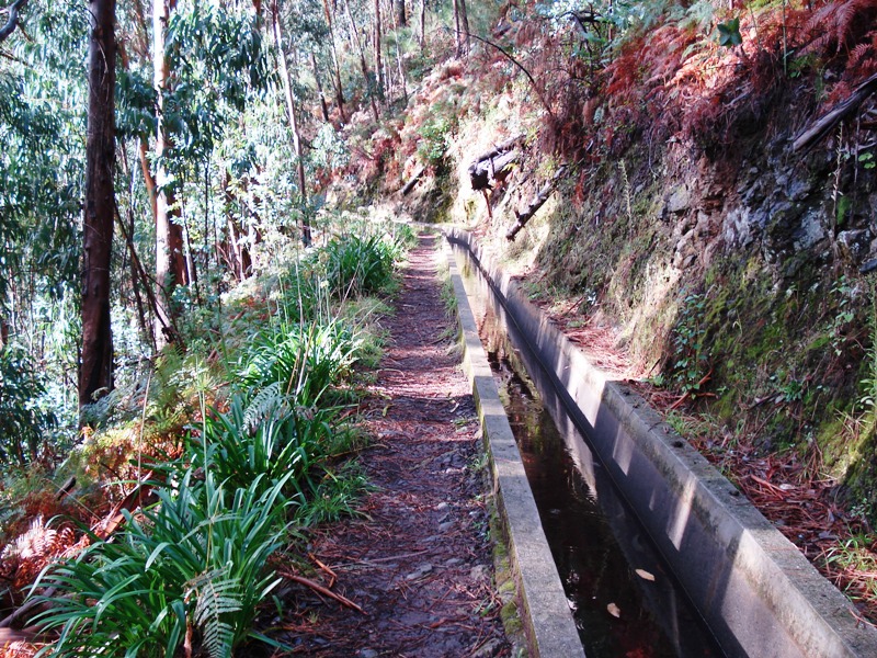
- Caminho Real do Paul do Mar Directions
- Vereda do Jardim do Mar Directions
- Levada do Moinho Directions
The "Levada Calheta – Levada Nova – Ponta do Pargo" route you're asking about is not an official IFCN PR trail (one of Madeira's numbered Percurso Recomendado routes) and doesn't appear as a mapped community walk in our database under that exact name. However, there are related walks that follow the Levada Nova in the Calheta area, which is likely what you're thinking of. Here's what I found:
These are mapped by the hiking community but are not part of Madeira's official PR trail network managed by IFCN (the regional government's forests & nature authority), so they have no official open/closed status and no maintenance/signage guarantee. Check access and conditions locally before going.
- Arco da Calheta – Sítio do Pinheiro via Levada Nova — 4.3★ from 163 hiker reviews · Moderate · 5.6 km loop · ~2–2.5 hr. This circular route begins in Arco da Calheta and follows the Levada Nova irrigation channel, surrounded by lush vegetation with panoramic views over the valley and the ocean, continuing to the tranquil Sítio do Pinheiro. Directions ↗
- Caminho das Fontinhas – Cova do Arco – Levada Nova — 4.2★ from 118 reviews · Moderate · 12.7 km loop · ~4.5–5 hr. A longer circuit through the green hills of Calheta municipality with sea views, viewpoints, fountains, and a segment along Levada Nova. Directions ↗
These are officially managed and have a verified status you can check before going:
| Trail | Route | Distance | Difficulty | Access fee |
|---|---|---|---|---|
| PR 19 – Caminho Real do Paul do Mar | Prazeres → Paul do Mar | 1.8 km | Moderate | €4.50 (>12 yrs) |
| PR 20 – Vereda do Jardim do Mar | Prazeres → Jardim do Mar | 1.9 km | Easy | €4.50 (>12 yrs) |
| PR 7 – Levada do Moinho | Ribeira da Cruz → Junqueira | 10.5 km | Moderate | €4.50 (>12 yrs) |
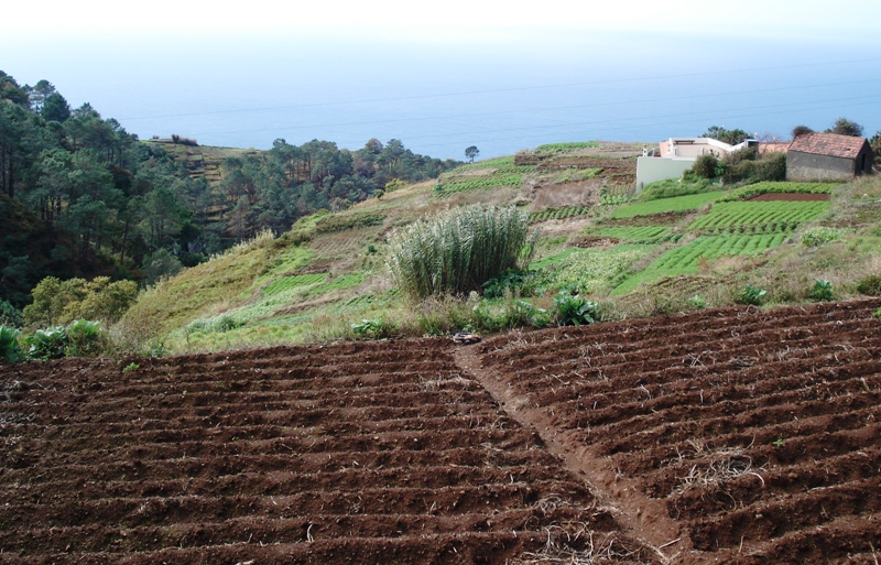
"Levada Calheta – Levada Nova – Ponta do Pargo" is a name sometimes used informally for a longer point-to-point route that follows the Levada Nova from the Calheta area westward towards Ponta do Pargo (the westernmost parish of Madeira, in Calheta municipality). The landscape is typical of the south-west coast — terraced farmland, ocean views, and a gentle gradient along the levada channel.
The most direct way to experience Levada Nova in this area today is the Arco da Calheta – Sítio do Pinheiro loop (5.6 km, moderate), which follows the same irrigation channel. If you want a longer, more challenging walk, the Caminho das Fontinhas – Cova do Arco – Levada Nova (12.7 km) covers more ground in the same hills.
Since these are community routes, not official PR trails, I'd recommend:
- Checking locally for current access conditions
- Bringing a GPS track (you can find/shared on AllTrails)
- Being prepared for unmarked sections
Want me to check tomorrow's mountain weather and IPMA warnings for the Calheta area before you plan your hike?