💭 Thinking
How this was derived · 4 steps
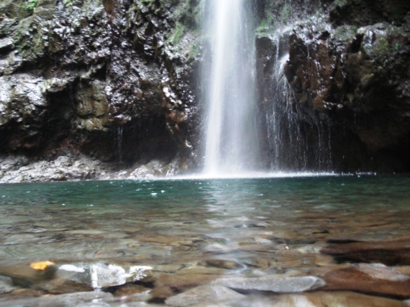


- Levada do Caldeirão Verde 4.6 Directions
This is one of Madeira's most iconic levada walks — a lush, tunnel-carved route through the Laurissilva forest to spectacular waterfalls in the municipality of Santana.
| PR code | PR 9 |
| Route | Queimadas → Caldeirão Verde → Caldeirão do Inferno |
| Distance | 8.7 km one way (+ 8.7 km return) |
| Difficulty | Moderate |
| Duration | ~6 h 30 min |
| Start | Queimadas Forest Park |
| End | Caldeirão do Inferno |
| Altitude | 872 m – 1 020 m |
| Managing entity | IFCN (regional forests & nature authority) |
| Access fee | €4.50 (visitors > 12 years); free ≤ 12 years · Parking €2.00/hour |
The fee is paid via the SIMplifica portal.
The trail begins at Queimadas Forest Park, where you'll find the traditional Santana thatched-roof shelter house. From there you follow the 18th-century levada along the main bed of the Ribeira do Caldeirão Verde, carved into steep hillsides through the laurel forest. You'll pass through several rock tunnels (bring a headtorch), cross narrow aqueduct sections, and experience dramatic views over deep valleys before reaching the Caldeirão Verde waterfall — one of the most photogenic spots on the island. Continuing further, you reach the Caldeirão do Inferno viewpoint, the trail's dramatic terminus.
Theme tags from hikers: forest · river · views · waterfall · wildlife
⭐ 4.6 / 5 from 4,562 hiker reviews on AllTrails — one of the most popular and highest-rated walks on the island.
Check the current open/closed status on OpenMadeira before setting out — conditions in the mountain forest can change, and tunnels or sections may be restricted after storms.
Photos: walkmeguide.com
Want me to check the current trail status (open/closed) and the mountain weather forecast before you go, or show you how to get to Queimadas by bus?