💭 Thinking
How this was derived · 4 steps
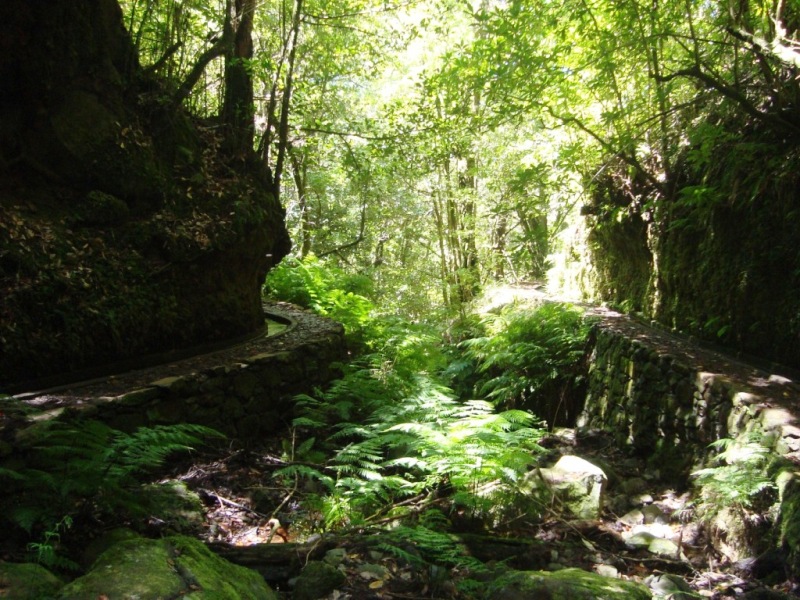


- Levada dos Cedros 4.5 Directions
The route you're asking about is a community-mapped trail that combines two official IFCN signposted trails — PR 14 (Levada dos Cedros) and PR 15 (Vereda da Ribeira Janela) — into one long point-to-point hike through the Laurisilva forest down to the north coast.
Important: This combined route is a community route mapped on AllTrails — not part of Madeira's official PR (Percurso Recomendado) trail network managed by IFCN, the regional government's forests and nature-conservation authority. It therefore has no official open/closed status and no maintenance/signage guarantee. Check access and conditions locally before setting out.
| Type | Out-and-back |
| Distance | 20 km |
| Difficulty | Hard |
| Estimated time | 8–8.5 hours |
| Area | Madeira Natural Park |
| Community rating | 4.1★ from 109 hiker reviews on AllTrails |
| AllTrails page | Levada dos Cedros – Vereda da Ribeira Janela |
Starting near Fanal on Estrada Regional 209, you follow the Levada dos Cedros westward through ancient laurel forest (a Natura 2000 site), then descend along rural paths parallel to the Lage stream all the way down to the village of Ribeira da Janela on the north coast. It's a spectacular forest-and-valley traverse — but it's long and demands good fitness and proper footwear for mountaineering/trekking.
The first portion of your route is the official PR 14 Levada dos Cedros, managed by IFCN:
| PR code | PR 14 |
| Route | Fanal → Curral Falso |
| Distance | 7.2 km |
| Difficulty | Moderate |
| Duration | ~3 hours |
| Altitude | 840–1 090 m |
| Access fee | €4.50 (visitors > 12 years) via the SIMplifica portal; free for children ≤ 12 |
| Managing body | IFCN |
| Community rating | 4.5★ from 1 144 reviews on AllTrails |
| AllTrails page | PR14 Levada dos Cedros |
This levada winds through the Fanal area's iconic twisted laurel trees, often shrouded in mist — one of Madeira's most atmospheric sections of Laurisilva forest.
Directions to the PR 14 trailhead ↗
Before you go, be sure to check the current trail status on OpenMadeira — especially for the PR 14 section, which has an official status that can change. The combined route has no official status, so local conditions may vary.
Want me to check the mountain weather forecast and IPMA warnings for the day you're planning to go, or look up how to get to the Fanal trailhead by bus?