💭 Thinking
How this was derived · 3 steps
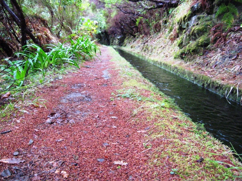
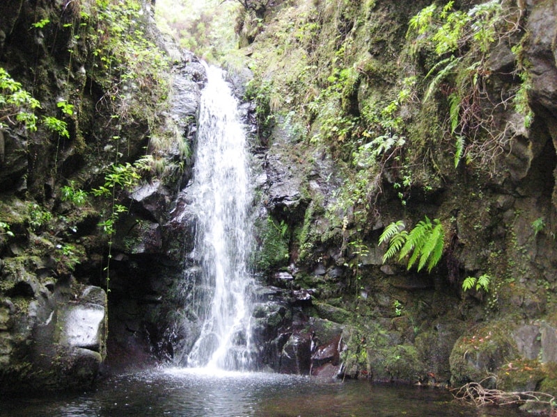
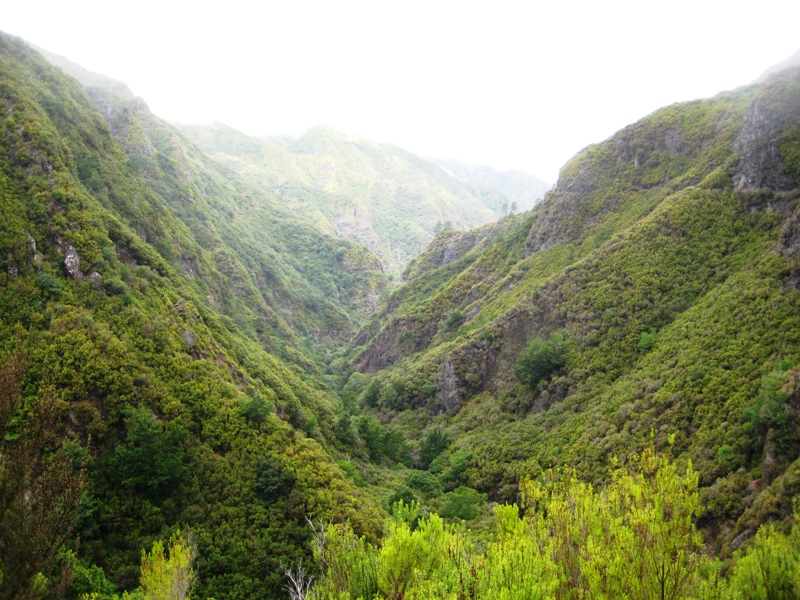
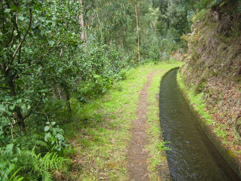
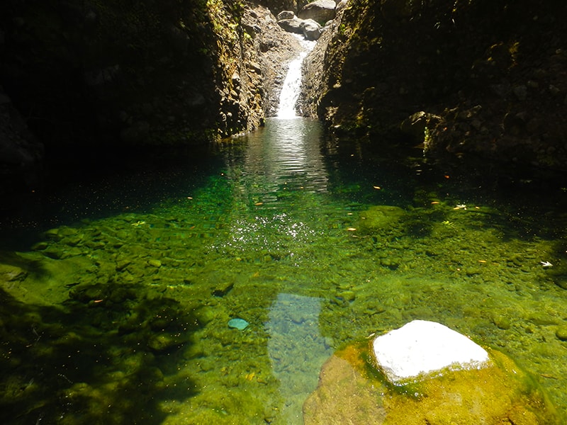
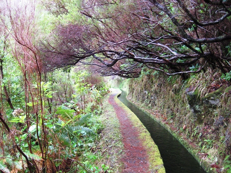
- Caminho das Cascatas da Levada Nova 4.7 Directions
This route isn't one of Madeira's official PR (Percurso Recomendado) trails managed by IFCN — it's a community route mapped on AllTrails, so it has no official open/closed status or maintenance guarantee. Check conditions locally before setting out.
The route you're asking about most likely corresponds to one of these community routes that pass through or near the Achada de Santo Antão viewpoint area:
| Route | Length | Difficulty | Type | AllTrails rating |
|---|---|---|---|---|
| Madalena do Mar → Sítio do Pinheiro → Achada de Santo Antão | 15 km | Hard | Loop | 4.4★ (38 reviews) |
| Arco da Calheta → Sítio do Pinheiro via Levada Nova | 5.6 km | Moderate | Loop | 4.3★ (163 reviews) |
The Achada de Santo Antão viewpoint (also known as Farol Verde) sits atop a cliff in the parish of Arco da Calheta on Madeira's southwest coast. It offers a sweeping panoramic view over Arco da Calheta, the coastline, and Madalena do Mar — and is even a popular paragliding launch spot (Visit Madeira).
The best-known Levada Nova walk in this area is actually the Levada Nova – Levada do Moinho circular, which starts near the Igreja da Lombada church in Ponta do Sol and combines two parallel levadas into a loop:
- Distance: 9.3 km loop
- Difficulty: Moderate
- Rating: 4.7★ from 6,103 hiker reviews on AllTrails
- Highlights: Ruins of old watermills, the famous Levada Nova waterfall, a rock tunnel (bring a flashlight), and some exposed sections with steep drops — not for those with vertigo
- ⚠️ Important: The lower levada (Levada do Moinho, PR 7) is officially CLOSED since June 2024 due to trail damage. Check current status before planning the circular.
The route starts ~1 km uphill from the white Igreja da Lombada church, follows Levada Nova (the upper channel) past dramatic waterfalls cascading over a rock canopy, then connects to Levada do Moinho (the lower, narrower channel) for the return. If you're afraid of heights, you can take the lower Levada do Moinho path instead — though as noted, it's currently closed.
| Route | Length | Difficulty | Type | AllTrails |
|---|---|---|---|---|
| Caminho das Cascatas da Levada Nova | 7.7 km | Hard | Out & back | 4.7★ (283) |
| Tábua – Levada Nova | 4 km | Easy | Out & back | 4.5★ (260) |
| Ribeira Brava – Levada Nova | 12.6 km | Moderate | Loop | 4.4★ (123) |
All of these are community routes (not official IFCN PR trails) — no official open/closed status applies.
- Exposure: The Levada Nova sections have narrow paths with steep drops. If you have vertigo, stick to the lower paths.
- Tunnel: Bring a headlamp or strong torch for the long rock tunnel on the Levada Nova – Levada do Moinho circular.
- Getting there: Public transport is limited; the closest bus stop is Ponta do Sol – Rotunda (Rodoeste lines 8, 80, 142, 146), then a ~30 min walk uphill. A rental car is more practical.
- Trail fees: Since 2026, official PR trails require a €4.50 fee booked via the SIMplifica portal — but these community routes don't fall under that system.
Would you like me to check the mountain weather forecast and IPMA warnings for the day you're planning to go?