💭 Thinking
How this was derived · 2 steps
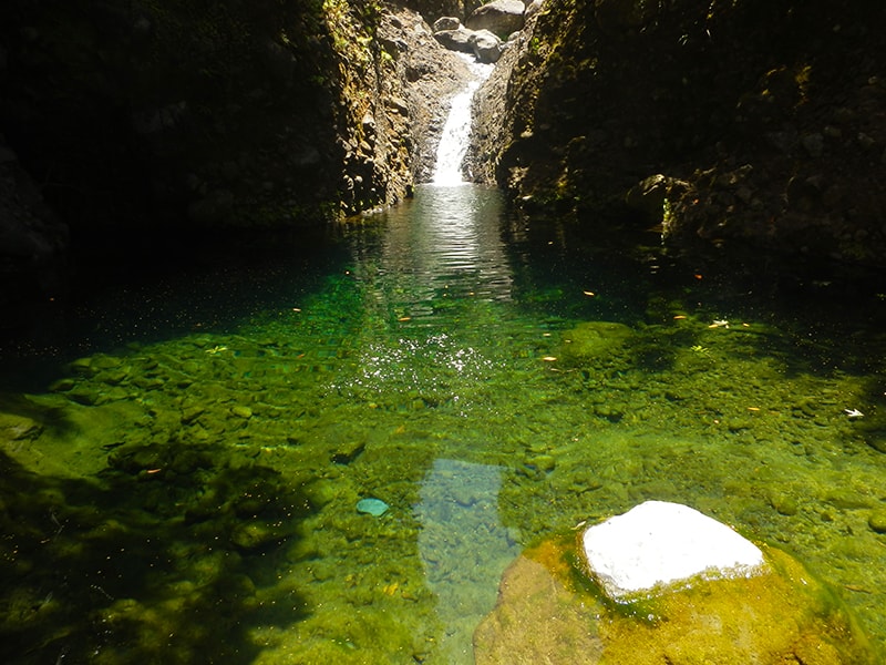
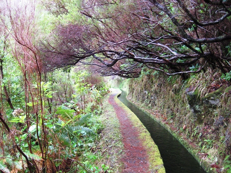
- Rota da Levada do Moinho 4.5 Directions
- Caminho das Cascatas da Levada Nova 4.7 Directions
This is not one of Madeira's official IFCN PR trails — it's a community route mapped on AllTrails, not part of the official trail network managed by IFCN (the regional government's forests and nature-conservation authority). That means it has no official open/closed status and no maintenance or signage guarantee, so check access and conditions locally before heading out.
| Distance | 9.3 km |
| Route type | Loop (circular) |
| Difficulty | Moderate |
| Community rating | ★ 4.7 from 6,396 hiker reviews on AllTrails |
| Trailhead | Near Ponta do Sol |
| Directions | Google Maps directions ↗ |
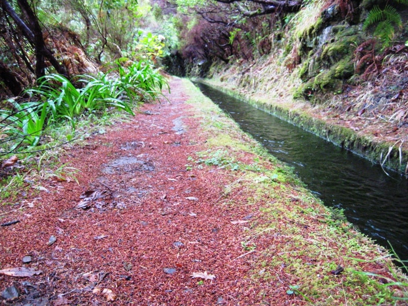
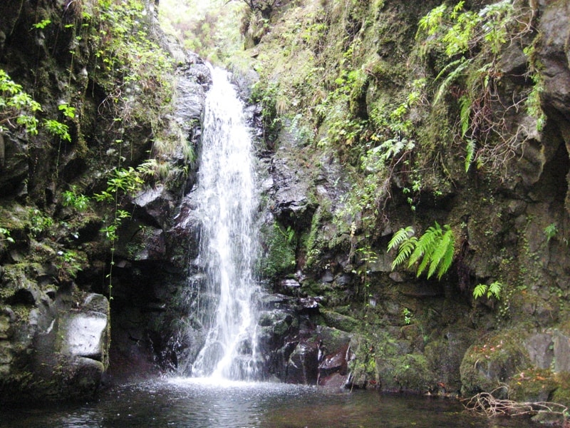
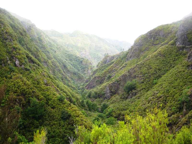
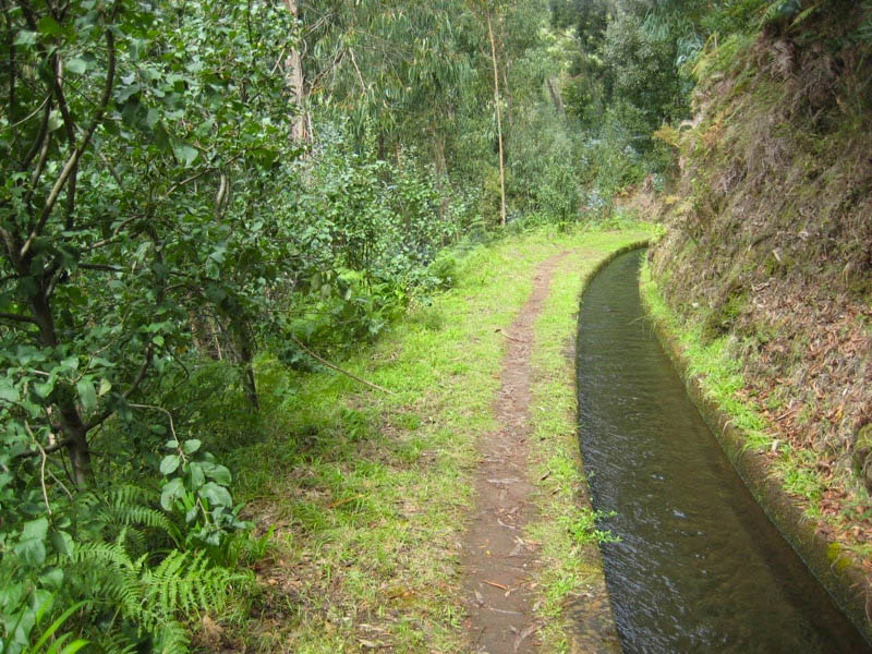
This circular trail combines two historic levadas — Levada Nova and Levada do Moinho — winding above the village of Ponta do Sol. The route offers sweeping views over the valleys and the traditional poios (terraced farmland). Along the way you'll pass the ruins of old watermills that once ground sugarcane and grain, and the famous Levada Nova waterfall — a dramatic cascade you can walk behind.
One memorable feature is a tunnel carved through the rock; bring a flashlight or head torch for this section, as it can be dark and wet underfoot.
The Ponta do Sol / Ribeira Brava area has several other unofficial community routes along the same levada system:
| Trail | Distance | Difficulty | Rating | Reviews |
|---|---|---|---|---|
| Rota da Levada do Moinho | 10.0 km (out & back) | Moderate | ★ 4.5 | 459 |
| Caminho das Cascatas da Levada Nova | 7.7 km (out & back) | Hard | ★ 4.7 | 295 |
| Tábua – Levada Nova | 4.0 km (out & back) | Easy | ★ 4.5 | 272 |
| Ponta do Sol – Levada do Moinho | 7.7 km (out & back) | Moderate | ★ 4.2 | 53 |
All are community routes (not official IFCN PR trails) with no formal open/closed status.
⚠️ Important: Since this isn't an official trail, there's no official status to check. Paths can be overgrown, damaged, or temporarily blocked. Ask locally about current conditions before setting out, carry a charged phone, and don't hike alone in poor weather.
Want me to check the mountain forecast and IPMA weather warnings for the day you're planning to go, or find the closest official PR trail as an alternative?