💭 Thinking
How this was derived · 1 step
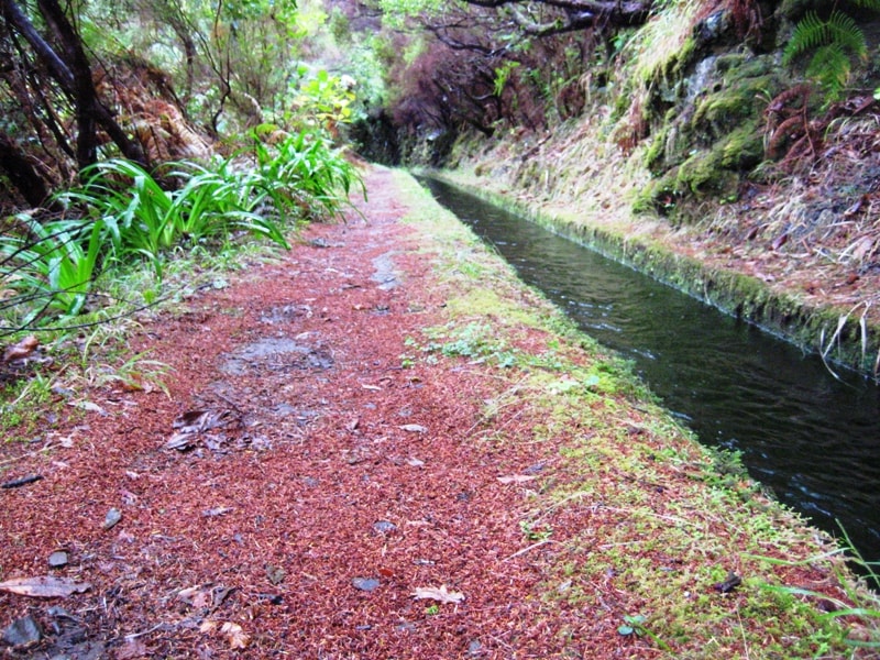
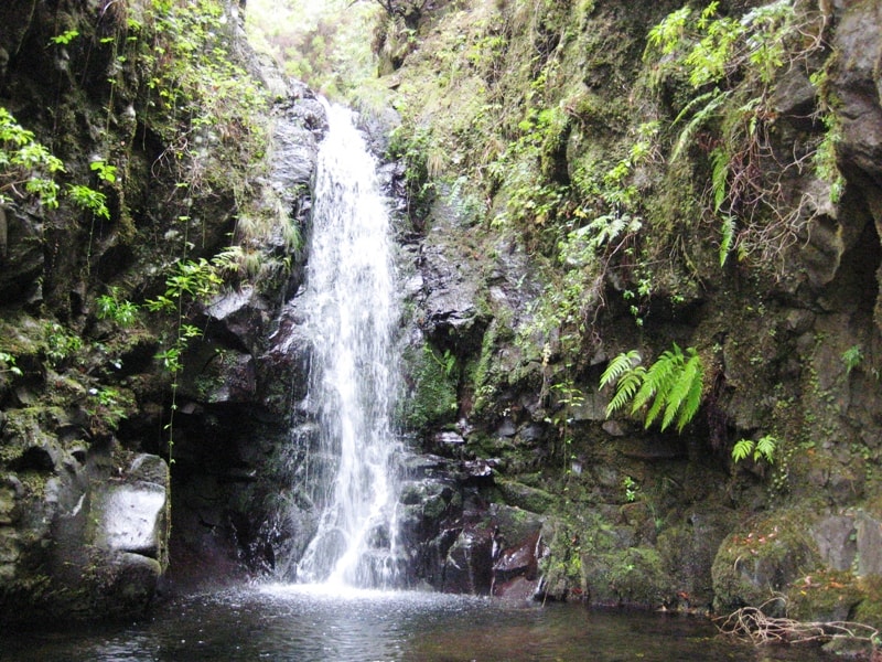
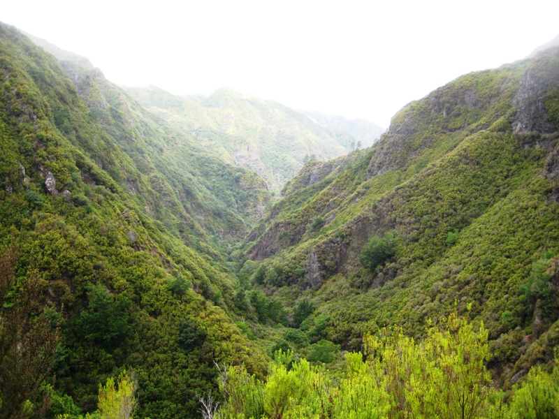
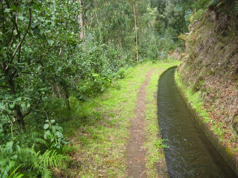
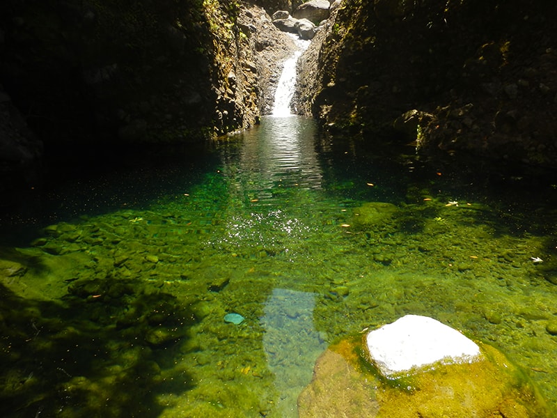
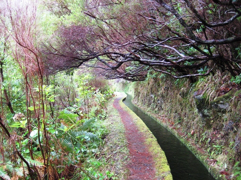
- Rota da Levada do Moinho 4.5 Directions
The walk you're asking about is commonly known as the Levada Nova – Levada do Moinho circuit, near Canhas and Ponta do Sol. It's one of Madeira's most popular hikes — but it's worth noting upfront that it's not an official IFCN PR trail (it's not part of the managed, signposted Percurso Recomendado network), so it has no official open/closed status and no maintenance or signage guarantee. Check access and conditions locally before setting out.
| Distance | 9.3 km |
| Type | Loop (circular) |
| Difficulty | Moderate |
| Rating | ★ 4.7 from 6,103 hiker reviews on AllTrails |
| Area | Madeira Natural Park |
This circular trail combines Levada Nova and Levada do Moinho, offering beautiful views over the valleys and the traditional poios (terraced farmland). Along the way you'll pass the ruins of old watermills and the famous Levada Nova waterfall. There's a tunnel carved through the rock — bring a flashlight or head torch, as it adds a touch of adventure. The Levada do Moinho is one of Madeira's oldest levadas, historically used to irrigate the fields and power water mills.
If you'd like alternatives, there are two other related routes in the same area — both also community routes (not official IFCN PR trails):
| Trail | Distance | Type | Difficulty | Rating |
|---|---|---|---|---|
| **Rota da Levada do Moinho** | 10.0 km | Out & back | Moderate | ★ 4.5 (453 reviews) |
| **Ponta do Sol – Levada do Moinho** | 7.7 km | Out & back | Moderate | ★ 4.2 (51 reviews) |
- Rota da Levada do Moinho starts at Lombada da Ponta do Sol, near the Church of Lombada. It follows the levada past well-cultivated farmland with panoramic views over the valley and the village of Ponta do Sol, plus waterfalls and endemic flora. Directions ↗
- Ponta do Sol – Levada do Moinho starts at Ponta do Sol beach and follows the historic Levada do Moinho (built at the end of the 15th century) to irrigate the lands of the Flemish settler João Esmeraldo and power water mills — whose ruins you can still see. Directions ↗
⚠️ Important: All three routes are community trails mapped on AllTrails — they are not part of Madeira's official PR trail network managed by IFCN, so they have no official open/closed status and no guarantee of maintenance or signage. Check local conditions before you go.
Want me to check the weather forecast and IPMA warnings for the day you're planning to hike, or show you a video of the Levada Nova – Levada do Moinho trail?