OpenMadeira
Tell me about the Lomba do Mouro - Levada do Lombo do Mouro - Furnas levada walk in Madeira
💭 Thinking
The user is asking about a specific levada walk in Madeira - "Lomba do Mouro - Levada do Lombo do Mouro - Furnas". Let me search for this trail in ourhikes database.The find_hikes tool returned 0 results for that query. Let me try a broader search, perhaps with just "Lombo do Mouro" or "Furnas" as the query, and maybe use a location near the trail.The user is asking about the "Lomba do Mouro - Levada do Lombo do Mouro - Furnas" walk. The search found it as a community (unofficial) trail on AllTrails, not as an official PR trail. There is also PR 17 (Caminho do Pináculo e Folhadal) which starts at Lombo do Mouro but is a different trail. Let me compile the information about the requested trail: **Lomba do Mouro - Levada do Lombo do Mouro - Furnas** - Community route (mapped on AllTrails) — NOT part of Madeira's official PR trail network managed by IFCN - Rating: 4.3★ from 25 hiker reviews on AllTrails - Difficulty: hard - Length: 14.0 km - Route type: out and back - Estimated time: 6–6.5 hr - Area: Madeira Natural Park - Location: lat 32.74183, lng -17.04642 - Description: This linear walking trail starts in the small town of Lombo do Mouro crossing the Levada do Lombo do Mouro to Furnas on the island of Madeira. The first stage is a descent between the houses and farmed land on a footpath, which takes us towards Furnas, walking on an imposing green landscape that dazzles and fascinates us. When you arrive at Furnas, half of your hike is done, and you go back, but remember that now you will go through a physically demanding climb to Lombo do Mouro. I also found PR 17 which starts at Lombo do Mouro but is a different trail — I should mention it as the official alternative that shares the starting point. Let me also find a video to enrich the answer.
How this was derived · 3 steps
TrailsMap & photos
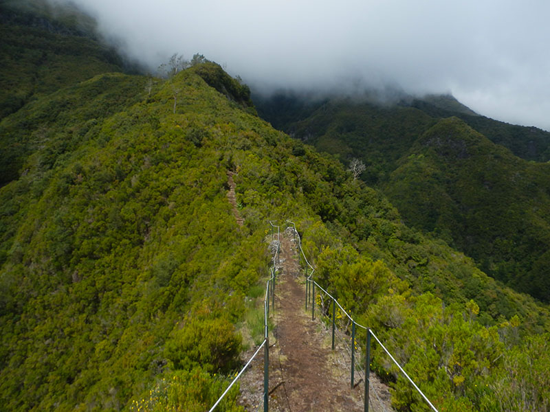
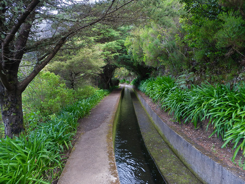
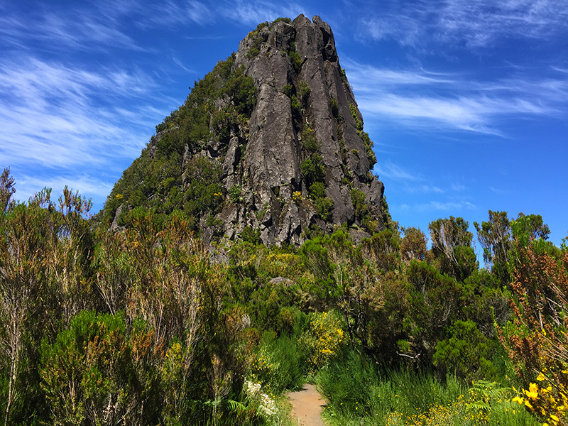
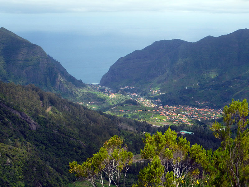
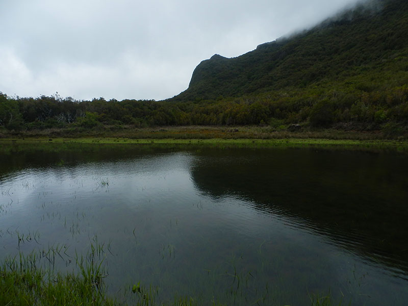
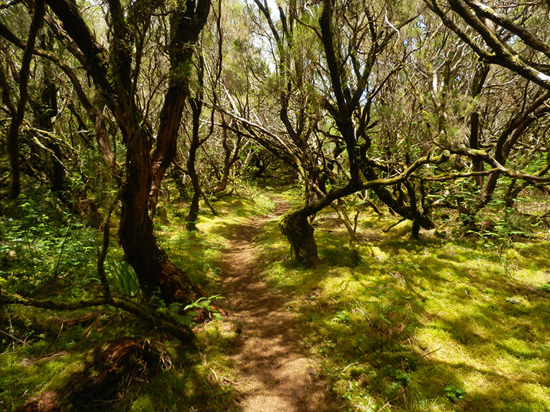
Caminho do Pináculo e Folhadal6 photos
Caminho do Pináculo e FolhadalCaminho do Pináculo e FolhadalCaminho do Pináculo e FolhadalCaminho do Pináculo e FolhadalCaminho do Pináculo e FolhadalCaminho do Pináculo e Folhadal
Official PR trail (IFCN) Community route (AllTrails — not official)
Photos: walkmeguide.com · green = official IFCN PR trail · amber = community route (AllTrails)

The trail you're asking about is a community-mapped route on AllTrails — it's not one of Madeira's official PR (Percurso Recomendado) trails managed by IFCN, so it has no official open/closed status or maintained signage. Here's everything we know about it:


Lomba do Mouro – Levada do Lombo do Mouro – Furnas
TypeOut and back
Distance14.0 km
DifficultyHard
Estimated time6–6.5 hours
Rating4.3★ from 25 hiker reviews on AllTrails
AreaMadeira Natural Park
Start / endLombo do Mouro

Route description: The trail starts in the small town of Lombo do Mouro and follows the Levada do Lombo do Mouro down towards Furnas. The first stage descends between houses and farmed land on a footpath, winding through a lush, imposing green landscape. When you reach Furnas, you're at the halfway point — and you turn around and head back. The return involves a physically demanding climb back up to Lombo do Mouro.

⚠️ Important: This is a community route mapped on AllTrails — not part of Madeira's official PR trail network managed by IFCN (the regional government's forests and nature-conservation authority). It therefore has no official open/closed status, no maintenance guarantee, and no official signage. Check access and trail conditions locally before you go.

Directions to the trailhead ↗


Nearby official trail: PR 17 – Caminho do Pináculo e Folhadal

The same area has an official PR trail that also starts at Lombo do Mouro:

  • PR 17 Caminho do Pináculo e Folhadal — 15 km, difficult, ~6 h 30 min, starting at Lombo do Mouro and ending at Encumeada, crossing Caramujo and Folhadal. Max altitude 1,490 m, min 970 m. 4.7★ from 285 reviews on AllTrails. There is an access fee of €4.50 (via the SIMplifica portal) for visitors over 12 years old.

This is a point-to-point official trail with IFCN maintenance and signage — a more structured alternative if you'd prefer an official route in the same area.

Check the current trail status on OpenMadeira before setting out, and want me to look up the mountain weather forecast and IPMA warnings for the day you're planning to go?

OpenMadeira can make mistakes — check the sources.