💭 Thinking
How this was derived · 4 steps
- Levada da Rocha Vermelha 4.2 Directions
- Levada do Paul II – Um Caminho para todos Directions
- Vereda do Túnel do Cavalo 4.6 Directions
- Vereda da Lagoa do Vento Directions
- Levada do Alecrim 4.6 Directions
- Rota da Banana in Madalena do Mar (Banana Route) 4.5 Directions
- Rota da Banana (Banana Route) 4.4 Directions
- Arco da Calheta - Sítio do Pinheiro via Levada Nova 4.3 Directions
- Calheta Circular Route 4.2 Directions
- RB1: Vereda da Ladeira 4.4 Directions
- Vereda da Ladeira 4.6 Directions
- Ponta do Sol - Levada do Moinho 4.2 Directions
This is a community-mapped route, not an official IFCN PR trail — it's not part of Madeira's official recommended trail network managed by IFCN (the regional government's forests & nature authority), so it has no official open/closed status and no maintenance or signage guarantee. Check access and conditions locally before going.
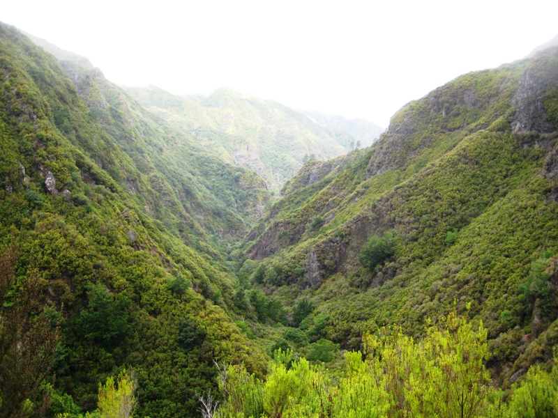
This scenic south-coast route links several picturesque places along the Levada Nova, the irrigation channel that runs above the valley stretching from Ponta do Sol through Canhas and towards Arco da Calheta. The walk combines farmland, deep-green gorges, waterfalls and sea views — one of the more varied levada walks on the island's sunny south side.
| Area | Ponta do Sol / Canhas / Madalena do Mar (southwest coast) |
| Type | Point-to-point or loop (if combined with Levada do Moinho) |
| Community rating | 4.3★ from 163 reviews on AllTrails (Arco da Calheta – Pinheiro variant) |
| Difficulty | Moderate (some exposed sections without railings, one tunnel) |
| Key places | Madalena do Mar → Levada Nova → Canhas → Sítio do Pinheiro → Anjos / Ponta do Sol |
- Madalena do Mar — a small coastal village famous for its banana plantations, one of the largest on the island. The short Rota da Banana loop (1.9 km, easy) is worth a detour if you have extra time (4.5★ on AllTrails).
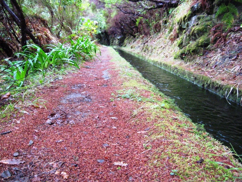
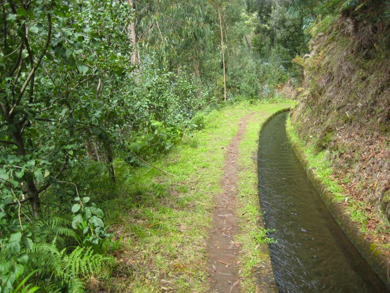
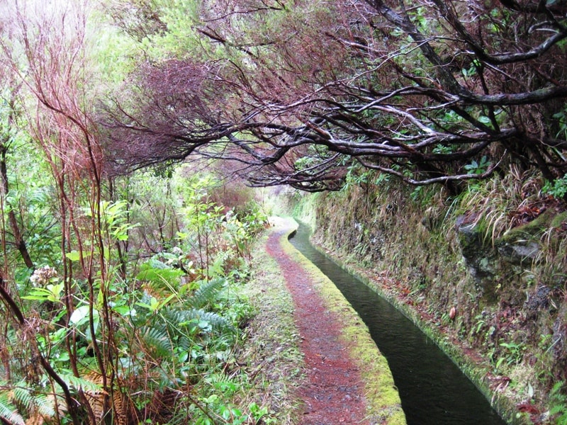
- Levada Nova — the upper levada carrying water along the hillside, with sweeping views over the valley and ocean. Parts pass through deep, narrow gorges (Ribeira da Madalena, Ribeira da Cova Grande) where the path narrows to roughly 30 cm with no handrail and a vertical drop. Not suitable for anyone with vertigo.
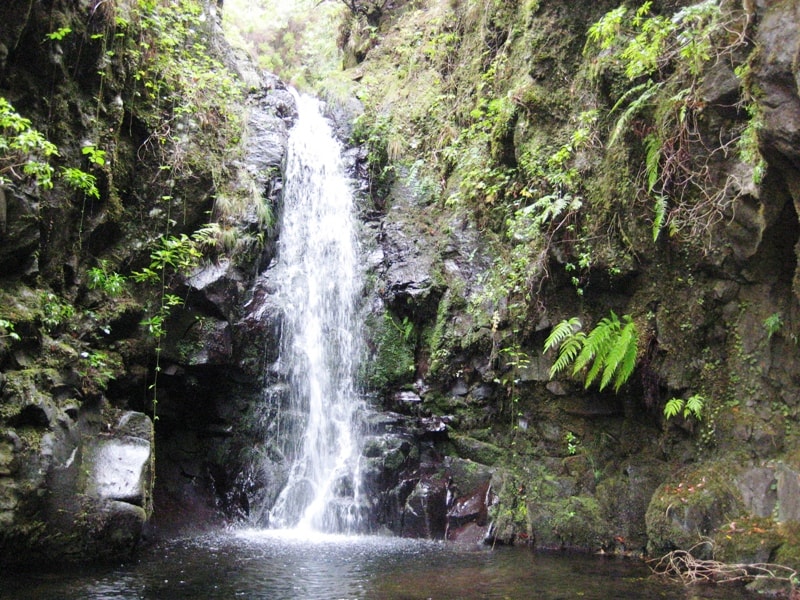
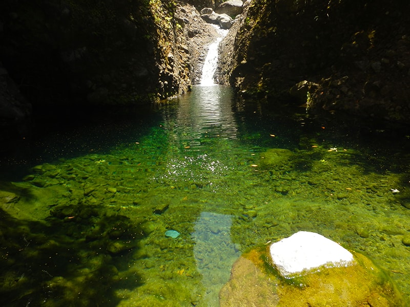
- Waterfall walk-behind — one of the highlights: a section where the trail is carved into the cliff behind a waterfall. Bring a waterproof jacket.
- Tunnel — after the waterfall, the route passes through a roughly 200 m tunnel. Carry a headlamp or charged phone torch.
- Canhas — the levada passes near the concrete works (Parque Industrial de Canhas); some hikers note the industrial noise in this section.
- Sítio do Pinheiro — a tiny, sleepy settlement where time seems to stand still, with just a handful of houses and a bar/minimercado.
- Anjos (Cascata dos Anjos) — a roadside waterfall near Ponta do Sol that you can actually drive under; very popular for photos. Be aware the narrow road here is sometimes closed for safety (falling debris).
Many hikers pair the Levada Nova (upper path) with the Levada do Moinho (lower path) starting from the church of Igreja da Lombada in Ponta do Sol, making an ≈8 km loop of about 3 hours. You walk the lower Levada do Moinho out, climb stairs to the Levada Nova, pass the waterfall and tunnel, and return along the upper path — one of the most rewarding circuits on the south coast.
- Start early to avoid midday sun on exposed sections and to catch the waterfalls at their best.
- Bring: headlamp (for the tunnel), waterproof jacket (for the waterfall spray), sturdy shoes with grip — the path can be muddy and slippery after rain.
- Heights warning: roughly half the Levada Nova section has no railing alongside steep drops. If you're uneasy with heights, stick to the lower Levada do Moinho, which is more sheltered.
- Landslides: the area around Sítio do Pinheiro and Ribeira da Cova Grande has seen landslide damage in the past. Conditions change — check locally before setting out, especially after heavy rain.
- Parking: if starting from Ponta do Sol / Lombada, there's a car park near the church. From Madalena do Mar, park in the village. The walk is not accessible by public transport at the trailhead.
- No entry fee — this is not one of the official IFCN PR trails and does not require a SIMplifica booking.
If you'd prefer a signposted, officially maintained trail in the same area, the closest ones are:
| Trail | Distance from Madalena do Mar | Difficulty |
|---|---|---|
| PR 30 – Vereda da Ponta do Sol | ~5 km | Moderate |
| Arco da Calheta – Sítio do Pinheiro via Levada Nova (community route) | Starts ~3 km from Madalena do Mar | Moderate (5.6 km loop, ~2–2.5 h) |
⚠️ Before you go: this is not an official trail, so there's no guaranteed maintenance, signage, or status update. Check current conditions locally — especially after rain, when landslides can block the path. For the latest on all official PR trails, check IFCN's status page.
Would you like me to check the mountain forecast and IPMA weather warnings for the day you're planning to hike, or find nearby official trails as an alternative?