💭 Thinking
How this was derived · 1 step
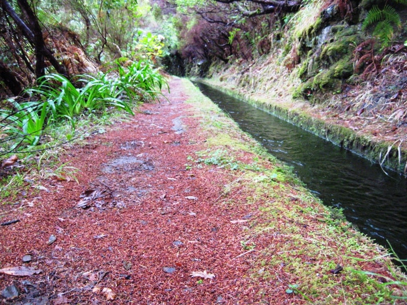
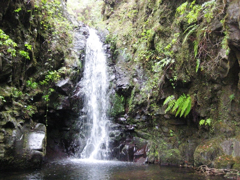
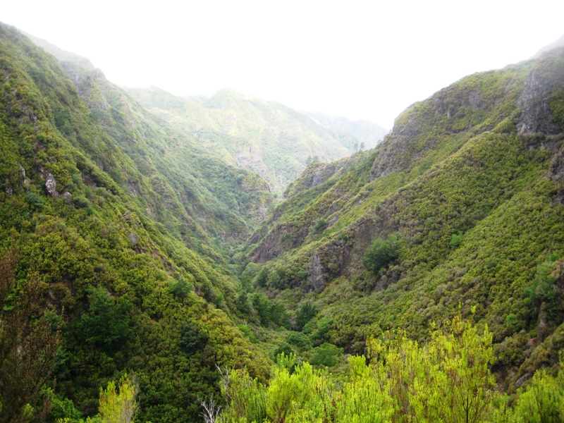
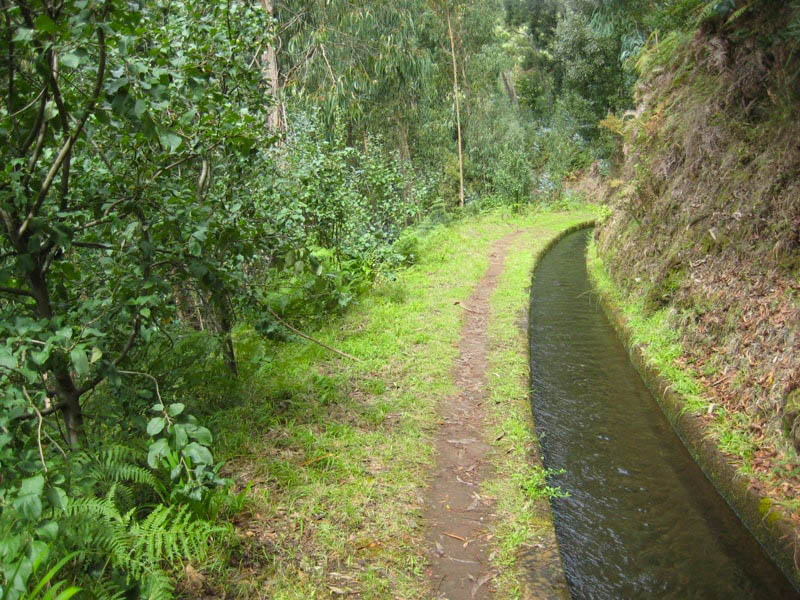

- Rota da Banana (Banana Route) 4.4 Directions
- Vereda da Ladeira 4.6 Directions
The trail "Madalena do Mar – Sítio do Pinheiro – Achada da Santo Antão" doesn't appear in Madeira's official PR (Percurso Recomendado) network managed by IFCN, so I can't confirm its current open/closed status, official distance, or give it an official difficulty rating. It's also not in the broader AllTrails community catalogue under that exact name.
However, the area you're asking about — Sítio do Pinheiro, above Madalena do Mar and Arco da Calheta on the southwest coast — is covered by a community-mapped trail that passes through some of the same waypoints:
Community route (mapped on AllTrails) — not part of Madeira's official PR trail network managed by IFCN (the regional government's forests & nature-conservation authority), so it has no official open/closed status and no maintenance/signage guarantee. Check access and conditions locally before going.
| Distance | 5.6 km (loop) |
| Difficulty | Moderate |
| Estimated time | 2–2.5 hr |
| Rating | ★4.3 from 163 hiker reviews on AllTrails ↗ |
| Area | Madeira Natural Park |
| Description | Begins in Arco da Calheta and follows the Levada Nova, surrounded by lush vegetation with panoramic views of the valley and the ocean. Continues to Sítio do Pinheiro, a tranquil spot where nature dominates the landscape, then returns via alternative trails completing the circuit. |
| Directions to trailhead | Directions ↗ |
Since you're interested in Madalena do Mar, there are several community-mapped walks starting right from the village — all easier and shorter:
| Trail | Distance | Difficulty | Rating | Reviews |
|---|---|---|---|---|
| Rota da Banana (Banana Route) | 1.9 km loop | Easy | ★4.5 | 426 |
| RB2 – Vereda do Nateiro | 0.6 km out-and-back | Easy | ★4.5 | 38 |
| RB1 – Vereda da Ladeira | 1.3 km out-and-back | Moderate | ★4.4 | 60 |
| Vereda da Ladeira (circular) | 1.3 km out-and-back | Moderate | ★4.6 | 52 |
All of these are community routes, not official IFCN PR trails — they carry no official open/closed status.
The route Madalena do Mar → Sítio do Pinheiro → Achada da Santo Antão may be a local/older name for a path that connects into the Levada Nova network above Arco da Calheta. If you've seen it mentioned in a guidebook or on a walking map, the Sítio do Pinheiro section likely overlaps with the community trail above. However, since it's not an official PR trail, I can't verify its current condition or whether the full route to Achada da Santo Antão is still waymarked or passable — I'd recommend checking with local tourist information in Ponta do Sol / Madalena do Mar before setting out.
Want me to check the mountain weather forecast and IPMA warnings for the area, or look into how to get to Madalena do Mar by bus?