💭 Thinking
How this was derived · 4 steps
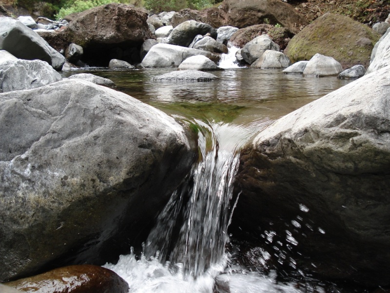


- Vereda da Ribeira da Janela 4.4 Directions
This route is a community trail mapped on AllTrails — it is not part of Madeira's official PR (Percurso Recomendado) trail network managed by IFCN (the regional government's forests and nature conservation authority). That means it has no official open/closed status, signage, or maintenance guarantee, so check access and conditions locally before you go.
| Length | 4.0 km (loop) |
| Difficulty | Moderate |
| Estimated time | 1.5–2 hours |
| Area | Madeira Natural Park, Porto Moniz municipality |
| Community rating | 3.5★ from 25 hiker reviews on AllTrails |
The trail runs through the municipality of Porto Moniz on Madeira's stunning northern coast, connecting the mouth of the Ribeira da Janela to the Miradouro da Eira da Achada viewpoint. It follows a traditional mountain path that climbs the hillside, winding through patches of the Laurissilva Forest — a UNESCO World Heritage Site. At the top, the Eira da Achada viewpoint rewards you with a breathtaking panoramic view of the entire north coast and the Atlantic Ocean.
In the same area, there's an official IFCN-managed trail worth knowing about:
PR 15 – Vereda da Ribeira da Janela
- Route: Curral Falso → Ribeira da Janela
- Distance: 2.7 km | Difficulty: Moderate | Duration: ~1h30
- Altitude: 400–820 m
- Access fee: €4.50 (visitors over 12; under 12 free) via the SIMplifica portal
- Community rating: 4.4★ from 119 reviews on AllTrails
- Visit Madeira page
Check the current trail status on OpenMadeira before setting out. Want me to check the mountain weather forecast and IPMA warnings for the day you're planning to go, or show you how to get there by bus?