OpenMadeira
Tell me about the Miradouro das Flores e Cabeço do Zimbralinho hike in Madeira
💭 Thinking
The user is asking about a specific hike in Madeira - "Miradouro das Flores e Cabeço do Zimbralinho". Let me look this up using the find_hikes tool. This seems like it could be an official PR trail or a community trail on AllTrails.I found the trail "Miradouro das Flores e Cabeço do Zimbralinho" in the community trails section. It's not an official IFCN PR trail - it's a community route mapped on AllTrails. Let me extract the details: - Name: Miradouro das Flores e Cabeço do Zimbralinho - Location: Porto Santo island - Description: A linear route on the small island of Porto Santo that explores the area around the village of Ponta, with several points of interest including Pico and Miradouro das Flores and the small beach of Zimbralinho. The beach is perfect for snorkeling and swimming, with crystal-clear waters, pebbles, and abrupt cliffs. - Rating: 4.6★ from 39 reviews on AllTrails - Difficulty: Moderate - Length: 6.3 km - Route type: Out and back - Estimated time: 2–2.5 hr - Coordinates: 33.03659, -16.36991 - Directions URL: https://www.google.com/maps/dir/?api=1&destination=33.036590,-16.369910 - AllTrails URL: https://www.alltrails.com/trail/portugal/madeira--2/miradouro-das-flores-e-cabeco-do-zimbralinho Important note: This is a community/unofficial trail - NOT part of Madeira's official PR trail network managed by IFCN. It has no official open/closed status. Let me also find a video for this trail and check theterrain.The user asked about the "Miradouro das Flores e Cabeço do Zimbralinho" hike. I found it in the community_trails section of the results - it's NOT an official IFCN PR trail, but a community route mapped on AllTrails. I need to present it with the appropriate caveats. Let me compile the key info: - Name: Miradouro das Flores e Cabeço do Zimbralinho - Community route (not official IFCN PR trail) - Location: Porto Santo island - Route type: Out and back - Length: 6.3 km - Difficulty: Moderate - Estimated time: 2–2.5 hr - Rating: 4.6★ from 39 reviews on AllTrails - Description: Linear route on Porto Santo, exploring the area around the village of Ponta, with Pico and Miradouro das Flores viewpoint and the small beach of Zimbralinho (great for snorkeling and swimming with crystal-clear waters, pebbles, and abrupt cliffs) - Coordinates: 33.03659, -16.36991 - Directions URL available I should note this is on Porto Santo, not Madeira island itself, which is worth clarifying since the user said "in Madeira" (which could mean the archipelago). Let me write the answer clearly.
How this was derived · 2 steps
Trails near ZimbralinhoMap & photos
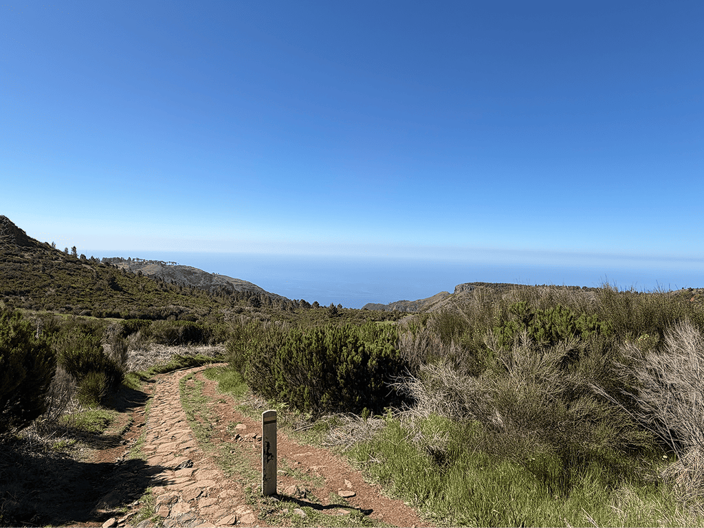
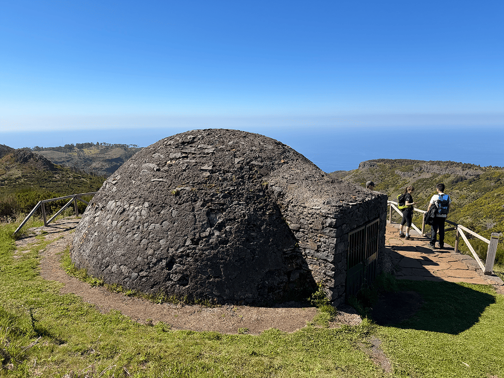
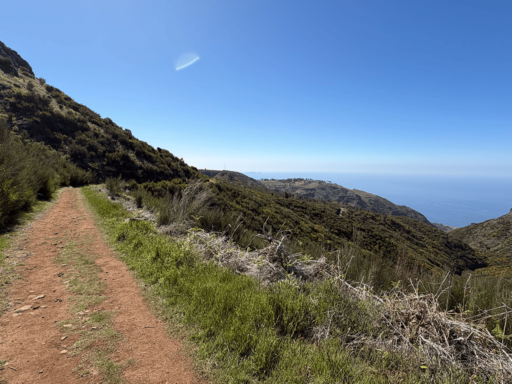
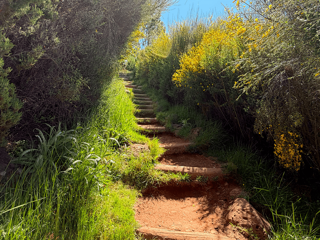
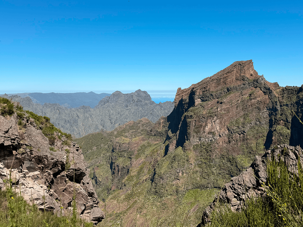
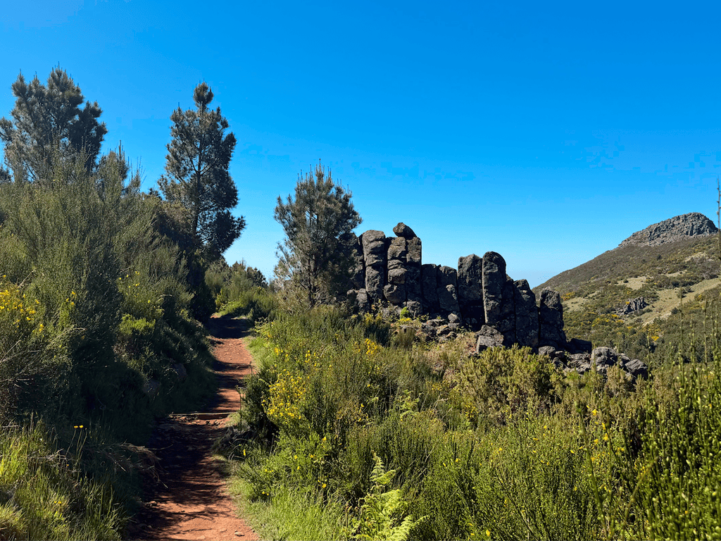
6 photos
Levada do Pico CasteloLevada do Pico CasteloLevada do Pico CasteloLevada do Pico CasteloLevada do Pico CasteloLevada do Pico Castelo
Official PR trail (IFCN) Community route (AllTrails — not official)
Photos: walkmeguide.com · green = official IFCN PR trail · amber = community route (AllTrails)
Miradouro das Flores e Cabeço do Zimbralinho

This is a community route mapped on AllTrails — it is not part of Madeira's official PR (Percurso Recomendado) trail network managed by IFCN (the regional government's forests & nature-conservation authority). That means it has no official open/closed status and no guaranteed maintenance or signage, so check access and conditions locally before setting out.

At a glance
IslandPorto Santo (Madeira archipelago)
Route typeOut and back
Distance6.3 km
DifficultyModerate
Estimated time2–2.5 hours
Community rating4.6★ from 39 hiker reviews on AllTrails ↗
The route

This linear route on Porto Santo explores the area around the village of Ponta, with several highlights along the way:

  • Pico & Miradouro das Flores — a viewpoint offering sweeping views over the rugged coastline
  • Praia (beach) do Zimbralinho — a small, secluded pebble beach surrounded by dramatic cliffs, with crystal-clear waters that make it perfect for snorkelling and swimming

The contrast between the arid, volcanic landscape above and the vivid blue Atlantic at beach level is one of the trail's biggest draws.

Practical notes
  • No official status — as this isn't a PR trail, there are no IFCN-maintained signs or regular inspections. Trail conditions can change; ask locally or check recent AllTrails reviews before you go.
  • Footwear — the terrain is rocky and uneven in places; proper hiking shoes are recommended.
  • Sun exposure — Porto Santo is dry and largely treeless; bring sun protection and plenty of water.
  • Getting thereDirections to the trailhead ↗ (routes from your current location)
Nearby official PR trails on Porto Santo

If you'd prefer a waymarked, officially maintained trail, Porto Santo has three:

TrailDistanceDifficultyOfficial access fee
PR 1 – Vereda do Pico Branco e Terra Chã2.7 km (out & back)Moderate€4.50 (adults > 12 yrs)
PR 2 – Vereda do Pico do Castelo3.2 kmEasy€4.50 (adults > 12 yrs)
PR 3 – Levada do Pico Castelo4.1 kmModerate€4.50 (adults > 12 yrs)

Want me to check the weather forecast for Porto Santo on the day you're planning to go, or help you figure out how to get there (ferry or flight)?

OpenMadeira can make mistakes — check the sources.