💭 Thinking
How this was derived · 5 steps
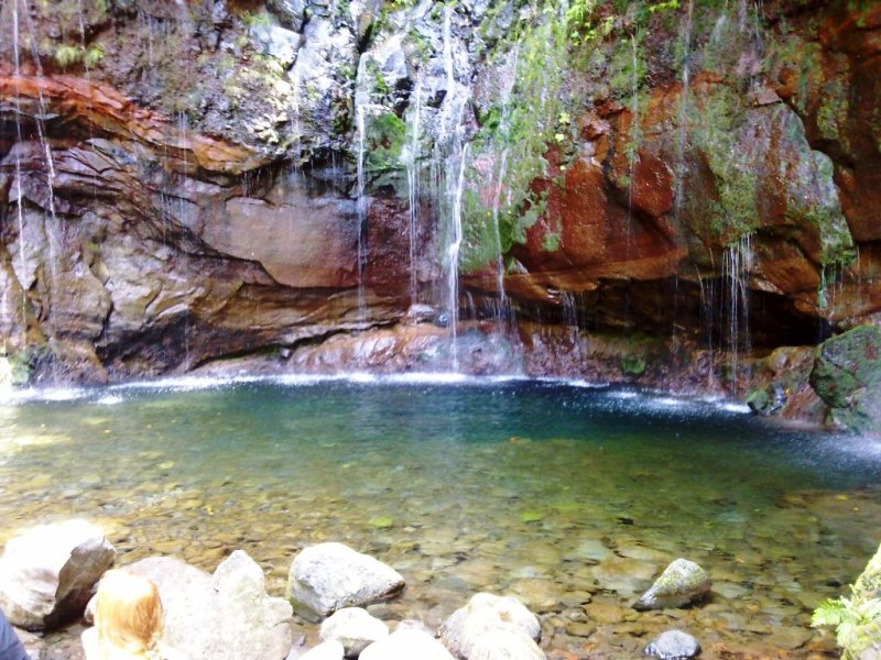



- Levada Velha do Rabaçal Directions
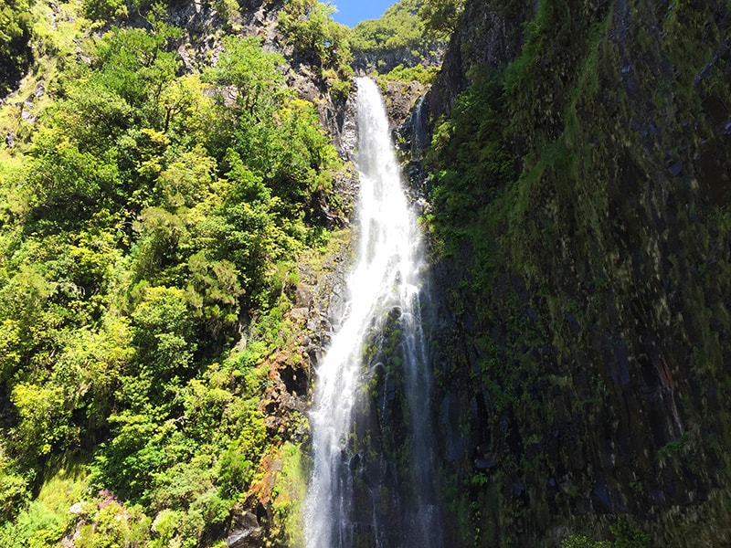
- Levada da Rocha Vermelha 4.2 Directions
The route name you asked about — "Pico dos Bodes – Lombo das Uveiras – Lombo da Velha" — doesn't match any of Madeira's official IFCN PR (Percurso Recomendado) trails, nor is it in the AllTrails community catalogue that we index. It appears to be a mountain biking route rather than a recognised hiking trail, which means it falls outside our hiking trail database (which covers pedestrian levada and vereda routes).
Here's what I can tell you from what we do have:
- Altitude: ~970 m above sea level
- Location: On the slopes above Ribeira Brava / Serra de Água, in the island's south-central uplands
- The peak sits in the Madeira Natural Park area, surrounded by laurel forest and heathland
The name Lombo da Velha is very close to Levada Velha do Rabaçal (the official PR 6.4 trail that starts at Pico Gordo, not far from the Rabaçal area). If you meant the levada:
| Trail | PR 6.4 – Levada Velha do Rabaçal |
| Route | Pico Gordo → Casa do Rabaçal |
| Distance | 5 km |
| Access fee | €4.50 (via SIMplifica portal; free for ≤12 years) |
| Managed by | IFCN |
| Detail | Visit Madeira ↗ |
If you're in the Pico dos Bodes / Serra de Água area, the closest official PR trails are:
| Trail | Route | Difficulty | Distance | Drive from Pico dos Bodes |
|---|---|---|---|---|
| **PR 12 – Caminho Real da Encumeada** | Boca da Corrida → Encumeada | Moderate | 12.5 km | ~7 min |
| **PR 17 – Caminho do Pináculo e Folhadal** | Lombo do Mouro → Encumeada | Difficult | 15 km | ~37 min |
| **PR 21 – Caminho do Norte** | Encumeada → Ribeira Grande | Moderate | 3.2 km | ~37 min |
| **PR 28 – Levada da Rocha Vermelha** | Fanal → Lombo da Atouguia | — | 10.7 km | ~20 min |
Since "Pico dos Bodes – Lombo das Uveiras – Lombo da Velha" is a mountain biking route (not an official IFCN hiking trail), it has no official open/closed status, maintenance guarantee, or signage. If you're planning to ride it, I'd recommend checking locally for current track conditions — mountain bike routes on Madeira can be steep, exposed, and affected by landslides after rain.
Would you like me to check the mountain weather forecast and IPMA warnings for the area, or help you find the nearest official hiking trails to your starting point?