💭 Thinking
How this was derived · 3 steps
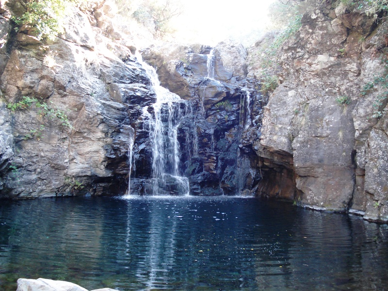


- Levada do Alecrim 4.6 Directions
This is a community route mapped on AllTrails — it is not part of Madeira's official PR (Percurso Recomendado) trail network managed by IFCN (the regional government's forests & nature-conservation authority), so it has no official open/closed status and no maintenance or signage guarantee. Check local access and conditions before setting out.
| Difficulty | Moderate |
| Distance | 4.2 km (loop) |
| Area | Madeira Natural Park (Paul da Serra / Rabaçal region) |
| Community rating | 4.4★ from 460 hiker reviews on AllTrails |
| Trailhead | Directions ↗ |
The route follows Levada do Pico da Urze, one of Madeira's oldest levadas — still naturally excavated in the ground for most of its length, without the concrete lining of later levadas. It belongs to the first generation of levadas that irrigated the southern lands, channelling water from springs on the north side of the island.
The levada was later remodelled as part of the expansion of Calheta's hydroelectric network (EEM), rebuilt in concrete in sections to increase flow and reduce losses — so along the walk you'll see a mix of the original earthen channel and the modernised stretches.
The loop takes you through dense upland vegetation on the Paul da Serra plateau, with views over the plateau and the surrounding valleys. It's a shorter, moderately rated walk — a good option if you want a taste of the Rabaçal area's levada scenery without committing to the longer routes.
In the same area, the official PR 6.2 – Levada do Alecrim is an IFCN-managed trail with an official status you can check:
| Official code | PR 6.2 |
| Distance | 3.5 km (+ 3.5 km return) |
| Difficulty | Easy |
| Duration | ~2:30 h |
| Start | Rabaçal (ER 105) |
| End | Water spring of Levada do Alecrim (Lagoa "Dona Beja") |
| Max altitude | 1,339 m · Min 1,256 m |
| Access fee | €4.50 (over 12 years) · free for 12 & under, via SIMplifica portal |
| Rating | 4.6★ from 1,719 reviews on AllTrails |
| Details | Visit Madeira |
PR 6.2 is fully waymarked and managed by IFCN — a good alternative if you'd prefer an officially maintained route with a trackable open/closed status.
⚠️ Before you go: This community route has no official status, so trail conditions, access, and signage are not guaranteed. Check locally before heading out, and be prepared for sections that may be overgrown or muddy after rain.
Want me to check the mountain weather forecast and IPMA warnings for the day you're planning to go?