💭 Thinking
How this was derived · 4 steps
- Caminho Real do Paul do Mar Directions
The Levada do Pedregal (Pedregal Stream Route) is a hike in the Ponta do Pargo area, on the far western tip of Madeira. It's a beautiful, lesser-known route through rural countryside and levada paths — but it's worth knowing upfront that it is NOT one of Madeira's official IFCN PR trails. It has no PR code, no official open/closed status, and no guaranteed signage or maintenance. Here's what you need to know:
| Location | Ponta do Pargo (Pedregal area), Calheta municipality — western Madeira |
| Length | ~10.5 km (loop) |
| Duration | 3–4 hours |
| Difficulty | Easy |
| Elevation gain | 369 m uphill / 369 m downhill |
| Max altitude | 631 m |
| Min altitude | 398 m |
| Route type | Circular/loop |
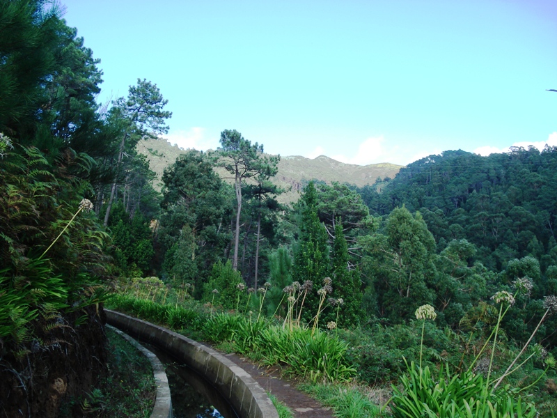
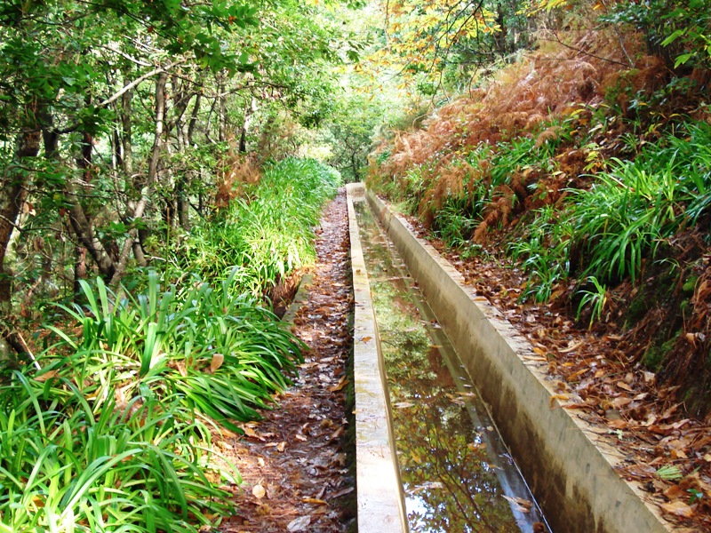
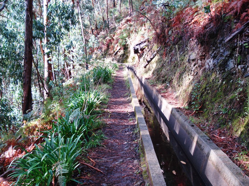
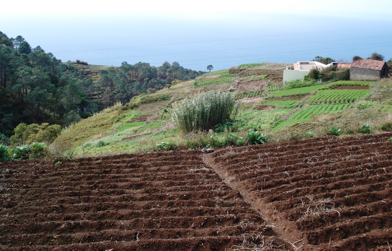
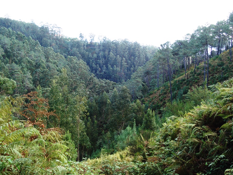
The trail starts in the Pedregal area of Ponta do Pargo and begins with a stone path uphill until you reach the levada, where you turn left and walk alongside the water channel. Along the way you'll enjoy views over Ponta do Pargo, the surrounding valley and mountains. The local flora and fauna make the walk feel almost magical.
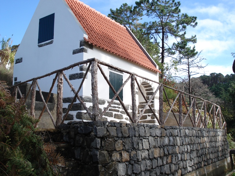
At the end of the levada section, you descend by road to the Capela da Nossa Senhora da Boa Morte, where a short path leads to a fascinating viewpoint — take time to take in the mountains, the sea, and the Achadas da Cruz area below. The route then continues along a forest path back to the starting point, with a recommended detour to another hidden viewpoint. You'll pass through rural houses, plantations and farmland — a real taste of traditional Madeira.
- Not an official PR trail — this is a community-mapped route, not part of Madeira's official IFCN-managed PR network. There is no official open/closed status and no guaranteed signage or maintenance. Check access and conditions locally before setting out.
- No trail fee (it's outside the SIMplifica booking system).
- Bring a charged phone, water, and sun protection — fewer hikers means less help if something goes wrong.
- The trail can be muddy and slippery after rain, especially the stone path sections.
Ponta do Pargo is about ~50 min drive from Funchal via the ER101 (coastal road) or ER223. It's the westernmost parish on the island. A rental car is strongly recommended; bus connections are very limited.
Would you like me to suggest some official PR trails nearby (the closest are PR 19 Caminho Real do Paul do Mar and PR 14 Levada dos Cedros), or check the mountain weather forecast for the day you're planning to go?