💭 Thinking
How this was derived · 3 steps
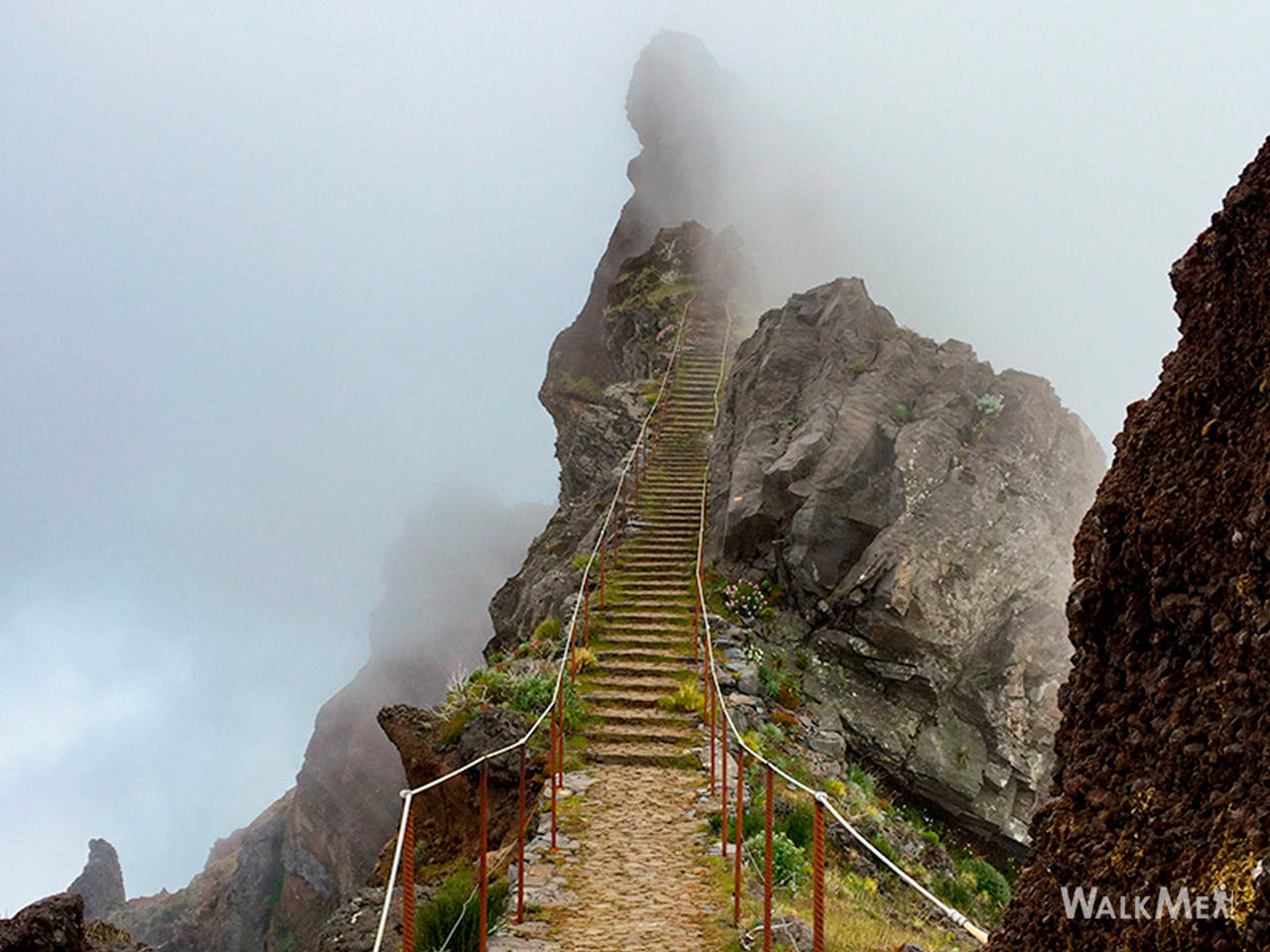
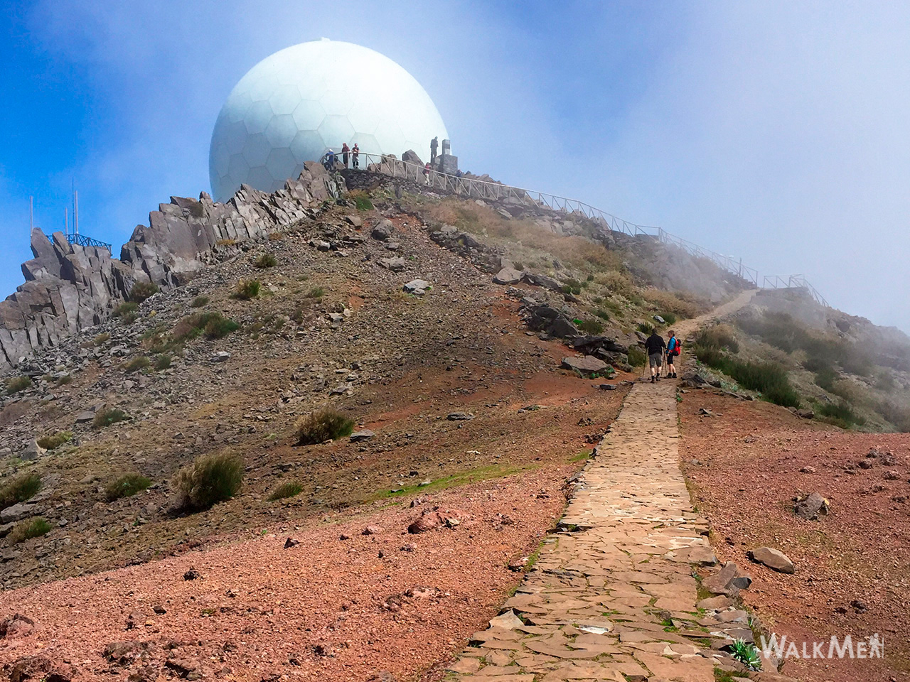
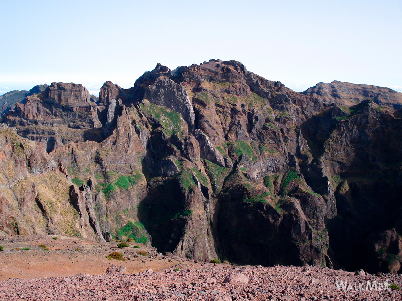
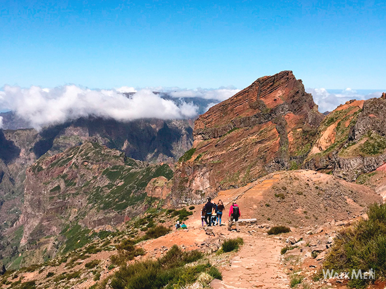
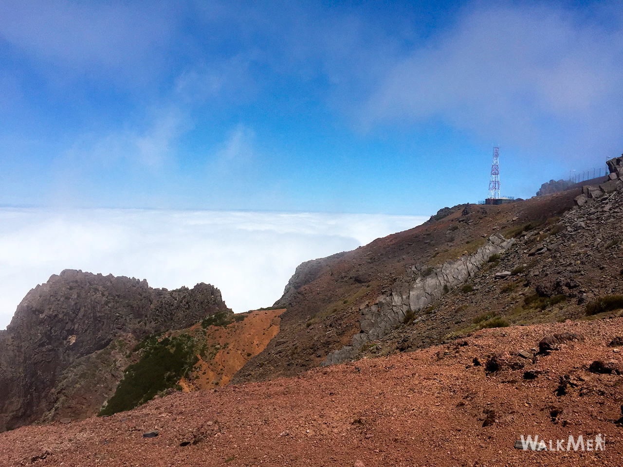
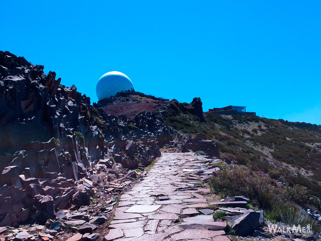
- Vereda do Areeiro 4.6 Directions
This is an ambitious high-altitude traverse of Madeira's central massif, linking several of the island's highest points. It's not a single official IFCN trail — it combines segments from multiple official PR routes plus an unofficial section. Here's what makes it up and what you need to know:
The route you're asking about has significant closures. The key closure affects the PR 1 Vereda do Areeiro:
- PR 1 — Pico do Areeiro → Pico Ruivo: The eastern route via Pico das Torres is officially closed (Encerrado). Only the western route through the tunnels remains usable.
- This closure blocks a key section of the full "Pico das Pedras – Pico Ruivo – Pico do Areeiro – Barracão" traverse.
| Trail | Route | Distance | Difficulty | Duration | Altitude |
|---|---|---|---|---|---|
| PR 1.2 Vereda do Pico Ruivo | Achada do Teixeira → Pico Ruivo | 2.8 km (+ 2.8 km return) | Moderate | ~1:30 | 1,852 → 1,857 m |
| PR 1 Vereda do Areeiro | Pico do Areeiro → Pico Ruivo | 6.1 km | Moderate | ~3:30 | 1,491 → 1,857 m |
| PR 1.3 Vereda da Encumeada | Pico Ruivo → Encumeada | 11.2 km | Moderate | ~5 h | 1,009 → 1,764 m |
Access fee (PR 1, PR 1.2, PR 1.3): €4.50 per visitor aged 12+, free for under 12s, via the SIMplifica portal. Parking at PR 1 is €4.00/hour.
Community rating (PR 1): 4.6★ from 4,384 hiker reviews on AllTrails.
The Pico das Pedras → Pico Ruivo leg is a community route (mapped on AllTrails) — not part of Madeira's official PR trail network managed by IFCN, the regional government's forests and nature-conservation authority. It therefore has no official open/closed status and no maintenance/signage guarantee.
| Distance | 9.0 km (out and back) |
| Difficulty | Hard |
| Estimated time | 4.5–5 hours |
| Rating | 4.5★ from 86 reviews on AllTrails |
| Route type | Out and back |
This trail starts at Pico das Pedras with panoramic mountain views and passes the Achada do Teixeira shelter, where you can see the basalt rock formation known as "Homem em Pé" (Standing Man). Weather changes rapidly at this altitude — carry proper rain gear.
The Barracão (literally "barracks/hut") is at the Pico do Areeiro summit area, near the radar installations. It's the endpoint of the traverse, but reaching it is via the PR 1 western (tunnel) route — the eastern route past Pico das Torres remains closed.
- Altitude range: ~1,000 m (Achada do Teixeira) up to 1,862 m (Pico Ruivo summit)
- Terrain: Exposed ridgeline, rocky paths, tunnels (bring a torch/headlamp), sheer drops on both sides
- Weather: Rapidly changing — fog, wind, and rain can sweep in with almost no warning at these altitudes
- Best conditions: Start early (before 9:00) on a clear, calm day; check IPMA mountain-region warnings before going
With the Pico das Torres section closed, the full Pico das Pedras → Barracão traverse isn't possible in its entirety. The open, official alternatives on the same massif are:
1. PR 1.2 — Achada do Teixeira ⇄ Pico Ruivo (the classic, most reliable way to the summit)
2. PR 1 — Pico do Areeiro → Pico Ruivo (western/tunnel route only; Pico das Torres section is closed)
3. PR 1.3 — Pico Ruivo → Encumeada (a longer route across the ridge)
You can combine PR 1.2 + PR 1 (western route) for a Pico do Areeiro → Pico Ruivo → Achada do Teixeira point-to-point hike.
Would you like me to check the mountain forecast and IPMA warnings for the day you're planning to go, or look into how to get to the trailhead by bus?