OpenMadeira
Tell me about the Ponta da Canaveira - Ponta da Calheta - Praia do Ribeiro Cochinho hike in Madeira
💭 Thinking
The user is asking about a specific hike in Madeira called "Ponta da Canaveira - Ponta da Calheta - Praia do Ribeiro Cochinho". Let me search for this trail using the find_hikestool.The find_hikes tool returned no results for that query. This might be a community/unofficial trail that's not in the official PR network. Let me try searching with different terms, or check if it's in AllTrails.The user is asking about "Ponta da Canaveira - Ponta da Calheta - Praia do Ribeiro Cochinho" hike in Madeira. This trail name didn't match any official IFCN PR trail, but it also didn't appear in the community trails. Let me search more specifically for this trail - it sounds like it could be on Porto Santo, given the place names. Let me search for it directly.The trail "Ponta da Canaveira - Ponta da Calheta - Praia do Ribeiro Cochinho" doesn't appear in either the official PR network or the community trails on AllTrails. Let me search the web for more information about this trail.Based on my research, I can now piece together information about the "Ponta da Canaveira - Ponta da Calheta - Praia do Ribeiro Cochinho" route on Porto Santo. This is NOT an official IFCN PR trail - it doesn't appear in any of the official PR trail lists for Porto Santo (which only has 3: PR1, PR2, PR3). Instead, this is a coastal route along Porto Santo's famous 9 km beach on the south coast, passing through several named points/spots. From the web lookup, I can gather: 1. **Ponta da Canaveira** (also spelled Canavieira) - a viewpoint at the western tip of Porto Santo, with views of Ilhéu do Ferro and Pico Ana Ferreira. It's described as overlooking the rockier side of the island with basalt rocks and coastal cliffs. 2. **Ponta da Calheta** - at the southwestern end of Porto Santo's beach, described as "the most beautiful beach on Porto Santo" by some sources, with natural pools at low tide and a bar-restaurant. 3. **Praia do Ribeiro Cochinho** (also spelled Ribeiro Cochino) - a beach area on Porto Santo's south coast, near where the cycling path starts. 4. The route between these points follows Porto Santo's golden sand beach and the coastal area. The **Ciclovia do Porto Santo** (cycling path) runs 4.61 km from Ribeiro Cochino (Campo de Baixo) to Ponta da Calheta, alongside ER120. 5. The Porto Santo Nature Trail race passes through Ponta da Canaveira, Morenos, etc. From the AllTrails results, I found the "Miradouro das Flores e Cabeço do Zimbralinho" trail which starts near the village of Ponta and goes to Pico/Miradouro das Flores and the beach of Zimbralinho - rated 4.6★ with 39 reviews, 6.3 km, moderate, 2-2.5 hrs. The route the user is asking about - "Ponta da Canaveira - Ponta da Calheta - Praia do Ribeiro Cochinho" - appears to be a coastal walk along Porto Santo's southern shoreline, going from the Ponta da Canaveira viewpoint in the west, along to Ponta da Calheta beach, and then continuing along the sandy beach to Ribeiro Cochinho. This is essentially walking along Porto Santo's famous golden beach and its western headland. Since this isn't an official PR trail and doesn't appear in our hike database, I should clearly state this and provide what I know from the web research, while noting the limitations. Let me also check - the AllTrails trail "Miradouro das Flores e Cabeço do Zimbralinho" starts near the village of Ponta (which is near Ponta da Canaveira) and goes to Zimbralinho beach. This might be related or partially overlapping. I should be upfront that this specific route isn't one of the official PR trails and isn't in our trail database. I'll share what I found from the web and suggest nearby official and community trails.
How this was derived · 4 steps
Trails near Porto SantoMap & photos
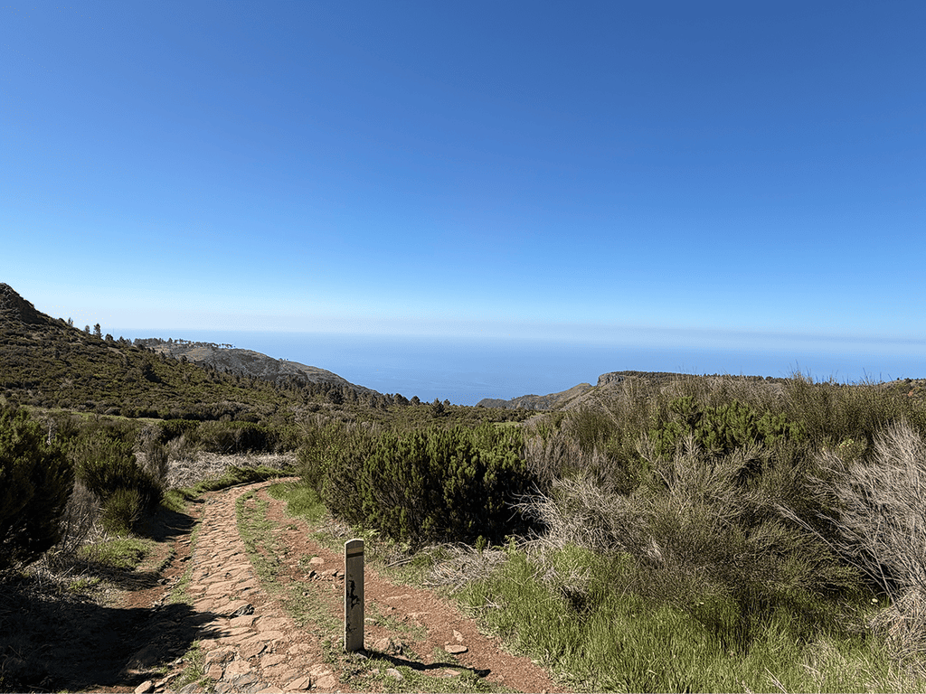
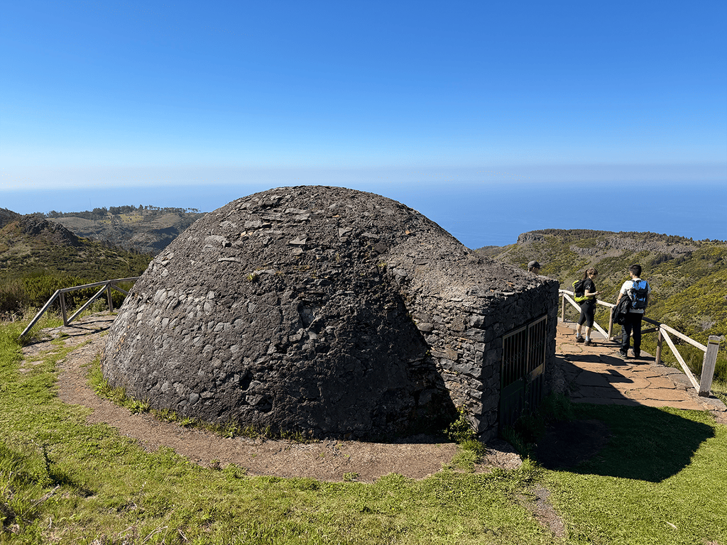
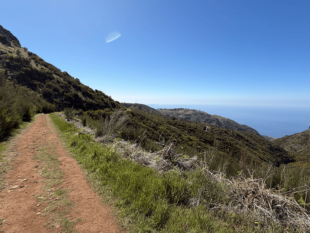
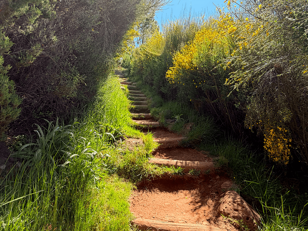
6 photos
Levada do Pico CasteloLevada do Pico CasteloLevada do Pico CasteloLevada do Pico CasteloLevada do Pico CasteloLevada do Pico Castelo
Official PR trail (IFCN) Community route (AllTrails — not official)
Photos: walkmeguide.com · green = official IFCN PR trail · amber = community route (AllTrails)

The Ponta da Canaveira → Ponta da Calheta → Praia do Ribeiro Cochinho route is a coastal walk on Porto Santo — but it's important to know up front:

⚠️ This is not an official PR trail (not part of the IFCN-recommended trail network), so it has no official open/closed status, signage, or maintenance guarantee. The only official PR trails on Porto Santo are PS PR 1, PR 2, and PR 3.

Here's what I can piece together from local sources:


The Route

This walk follows Porto Santo's dramatic southern and western coastline, linking three named landmarks:

  • Ponta da Canaveira (also spelled Canavieira) — the western tip of Porto Santo, where a viewpoint overlooks the island's rockiest side: dark basalt cliffs, coloured magmatic veins, and views across to Ilhéu do Ferro and Pico Ana Ferreira. On clear days you can even spot Madeira's north coast. On the way here you pass the Morenos area, with picnic tables, straw shelters, and barbecue facilities. (Visit Madeira)
  • Ponta da Calheta — at the southwestern end of Porto Santo's famous 9 km golden beach. Often considered the island's most beautiful beach, with natural tidal pools at low tide and a bar-restaurant.
  • Praia do Ribeiro Cochinho (also Ribeiro Cochino) — a popular beach area further east along the south coast, home to the well-known Bar do Henrique.

The full stretch of Porto Santo's beach runs from the harbour area (Vila Baleira) all the way to Ponta da Calheta — roughly 9 km of continuous sand. The coastal cycling path (Ciclovia do Porto Santo) runs ~4.6 km alongside ER120 from Ribeiro Cochino to Ponta da Calheta, so you can walk on sand, on the cycling path, or a mix.


What to Expect
Detail
IslandPorto Santo
TypeCoastal walk (beach + headland paths) — not an official PR trail
TerrainSand, loose rock, coastal paths; arid landscape with low vegetation
DifficultyEasy to moderate (depending on how far you go and whether you go over the headland at Ponta da Canaveira)
FeeNo access fee (this is not a PR trail)
Official status❌ No IFCN status, signage, or maintenance

Nearby Official Trails (Porto Santo)

If you'd prefer a properly marked, official trail on Porto Santo, here are the three PR routes:

TrailDifficultyDistanceHighlights
PR 1 – Vereda do Pico Branco e Terra ChãModerate2.7 km (+ 2.7 km return)Pico Branco summit, Terra Chã viewpoint · 4.8★ (118 reviews on AllTrails)
PR 2 – Vereda do Pico do CasteloEasy3.2–4.6 kmPico do Castelo & Canhão viewpoint · 4.6★ (43 reviews)
PR 3 – Levada do Pico CasteloModerate4.1 kmCamacha to Graça Chapel · 4.4★ (8 reviews)

All three require a €4.50 access fee (via SIMplifica), free for children ≤ 12.


A Popular Community Trail Nearby

One of the best-rated community (unofficial) routes from AllTrails is Miradouro das Flores e Cabeço do Zimbralinho — a 6.3 km out-and-back from the village of Ponta, passing through the same Ponta da Canaveira area, with stunning cliff and sea views · 4.6★ from 39 hiker reviews · moderate · 2–2.5 hrs · AllTrails page


Bottom line: you can absolutely walk the Ponta da Canaveira → Calheta → Ribeiro Cochinho coast — it's a beautiful, varied stretch of Porto Santo — but check conditions locally before setting out (there's no official trail report for this route), bring proper footwear for mixed sand and rocky terrain, and watch the tide if you're planning to walk along the shore at Ponta da Calheta.

Would you like me to check the weather and IPMA warnings for Porto Santo on the day you're planning to go?

OpenMadeira can make mistakes — check the sources.