💭 Thinking
How this was derived · 1 step
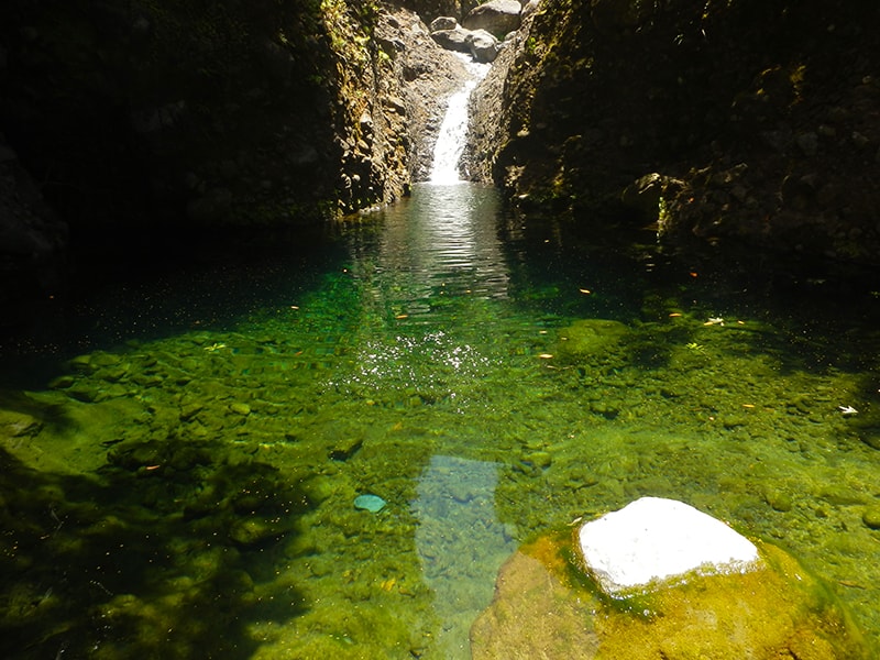
- Levada da Rocha Vermelha 4.2 Directions
- Levada do Paul II – Um Caminho para todos Directions
- Vereda do Túnel do Cavalo 4.6 Directions
- Vereda da Lagoa do Vento Directions
- Levada do Alecrim 4.6 Directions
- Levada Nova - Levada do Moinho 4.7 Directions
- Rota da Levada do Moinho 4.5 Directions
- Caminho das Cascatas da Levada Nova 4.7 Directions
- Tábua - Levada Nova 4.5 Directions
- Ribeira Brava - Levada Nova 4.4 Directions
- Levada Nova via Ribeira Brava 4.5 Directions
- Vereda da Ladeira 4.6 Directions
The hike commonly called the "Ponta do Sol Loop" is officially known as the Levada Nova – Levada do Moinho combined circuit. It's a community route mapped on AllTrails — not part of Madeira's official PR trail network managed by IFCN (the regional government's forests & nature-conservation authority), so it has no official open/closed status and no guarantee of maintenance or signage. Check conditions locally before setting out.
| Route type | Loop (circular) |
| Distance | 9.3 km |
| Difficulty | Moderate |
| Rating | 4.7★ from 6,103 hiker reviews on AllTrails ↗ |
| Area | Madeira Natural Park |
| Trailhead | Directions ↗ |
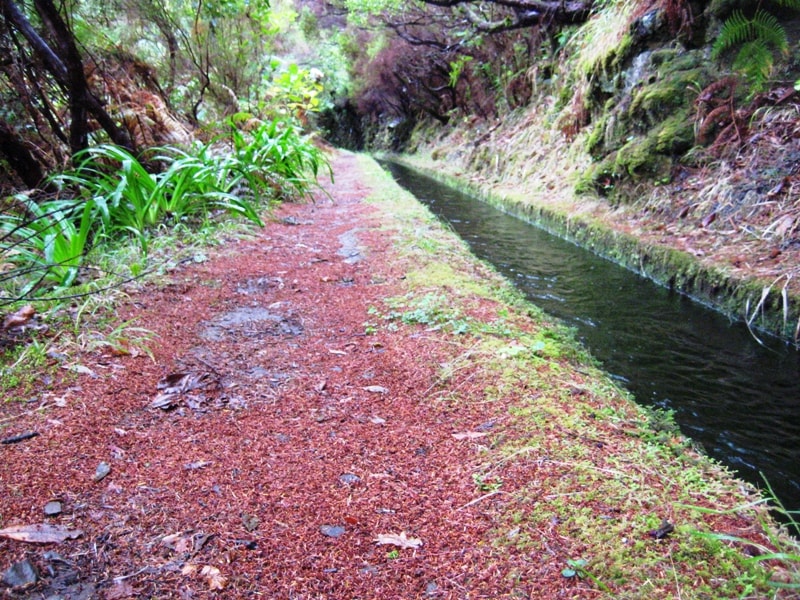
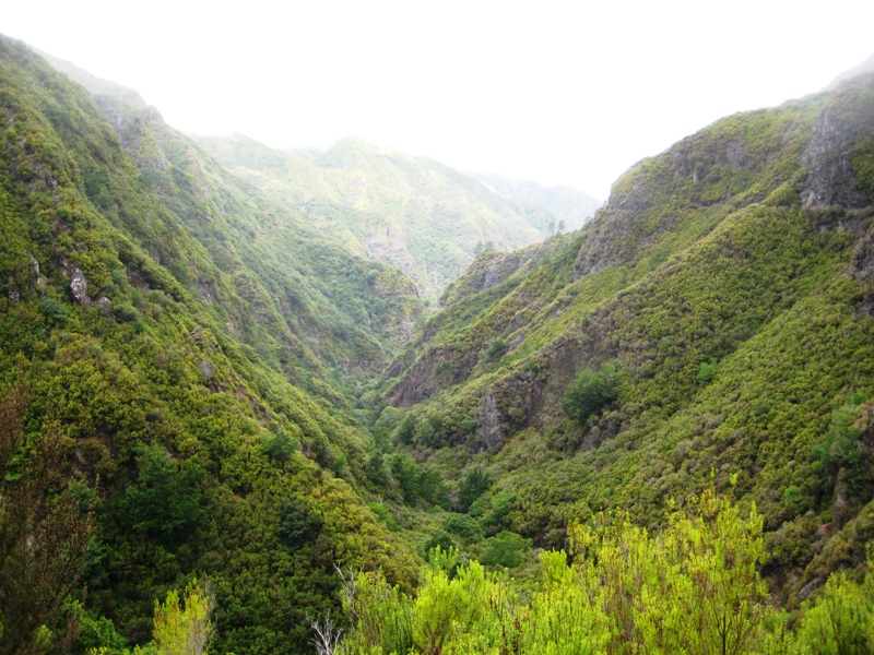
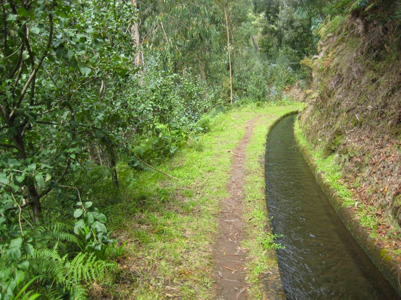
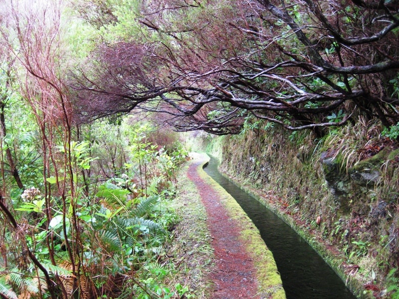
This circular trail combines Levada Nova and Levada do Moinho, offering sweeping views over the valleys and traditional poios (terraced farmland). Along the way you'll pass:
- Ruins of old watermills — Levada do Moinho is one of the oldest levadas, built to irrigate fields and power water mills
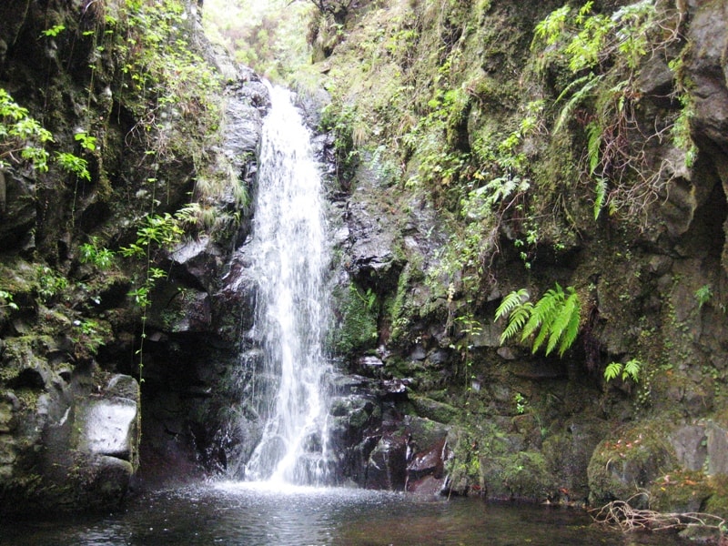
- The famous Levada Nova waterfall, a stunning cascade right along the path
- A tunnel carved through rock — bring a flashlight, as it adds a touch of adventure
- Endemic flora, lush valley panoramas, and the village of Ponta do Sol below
- No official status — this is not a PR trail managed by IFCN, so there's no official open/closed update, signage guarantee, or rescue signage along the route
- Check access locally before you go; conditions can change (fallen trees, landslides, tunnel flooding)
- Bring a flashlight for the tunnel section
- Trails in this area can be narrow with steep drops on one side — standard levada-walk precautions apply
The trailhead is near Ponta do Sol on the south coast — roughly a 25-minute drive west from Funchal. Use the Directions link ↗ to navigate from your location.
Want me to check the mountain weather forecast and IPMA warnings for the day you plan to go, or find bus connections to Ponta do Sol?