💭 Thinking
How this was derived · 2 steps
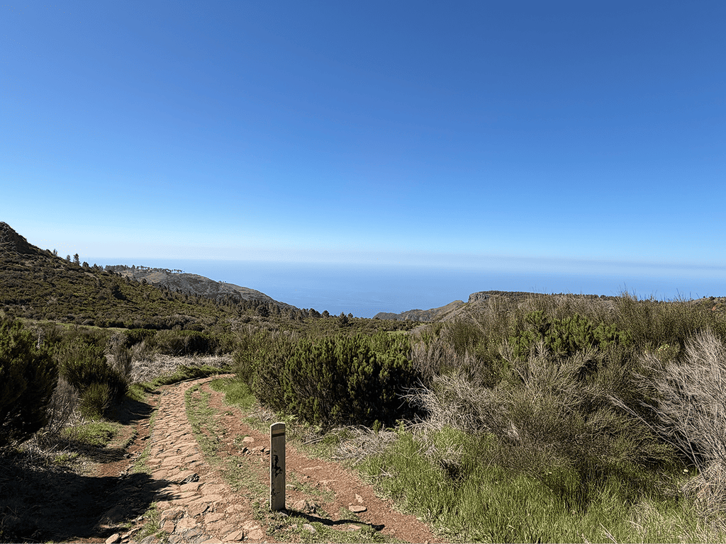
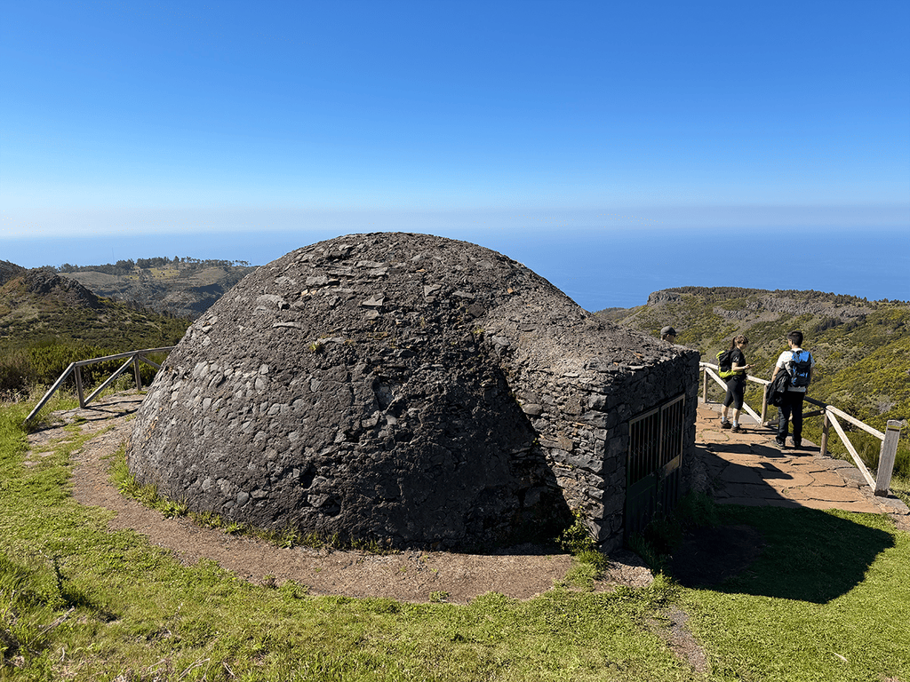
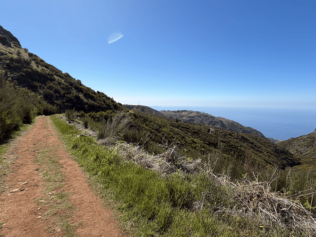
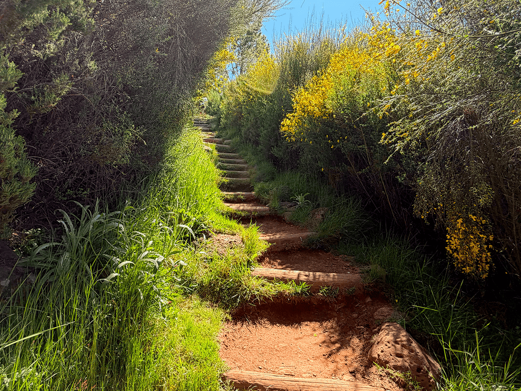
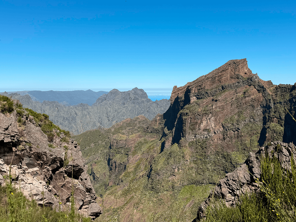
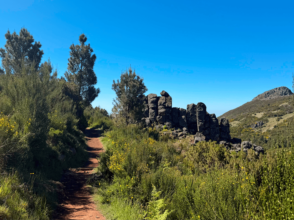
- Levada do Pico Castelo 4.4 Directions
- Vereda do Pico do Castelo 4.6 Directions
- Vereda do Pico Branco e Terra Chã 4.8 Directions
- Miradouro das Flores e Cabeço do Zimbralinho 4.6 Directions
I couldn't find a trail specifically called "Porto Santo: Calheta Road Cycle Paths" in our database — it's not among the official IFCN PR trails on Porto Santo, and it didn't come up in the AllTrails community routes either.
Here's what's available on Porto Santo if you're looking for a walk or cycle ride in that area:
| Trail | Difficulty | Distance | Duration | Access fee |
|---|---|---|---|---|
| PR 1 – Vereda do Pico Branco e Terra Chã | Moderate | 2.7 km (+ 2.7 km return) | ~1 h 30 min | €4.50 (visitors > 12) |
| PR 2 – Vereda do Pico do Castelo | Easy | 3.2–4.6 km | ~2 h 15 min | €4.50 (visitors > 12) |
| PR 3 – Levada do Pico Castelo | Moderate | 4.1 km | ~1 h 30 min | €4.50 (visitors > 12) |
All three require a ticket via the SIMplifica portal (free for children ≤ 12).
Community route mapped on AllTrails — not part of Madeira's official PR trail network managed by IFCN, so there's no official open/closed status or maintenance guarantee. Check access locally before going.
- Miradouro das Flores e Cabeço do Zimbralinho — 4.6★ (39 reviews) · Moderate · 6.3 km out and back · ~2–2.5 hr
- Porto dos Frades – Fenda da Dona Beja – Ponta do Passo — 4.5★ (17 reviews) · Easy · 5.3 km out and back · ~1.5–2 hr
The name "Calheta Road Cycle Paths" sounds like it may be a cycling/local route rather than a marked hiking trail — it could refer to the coastal road along Porto Santo's Praia da Calheta area. If you have a link to the route (e.g. on AllTrails, Komoot, Strava, etc.), I'd be happy to look into it further.
In the meantime, want me to check the weather forecast and IPMA warnings for Porto Santo for when you're planning to go?