💭 Thinking
How this was derived · 4 steps

- Vereda do Pico Ruivo Directions
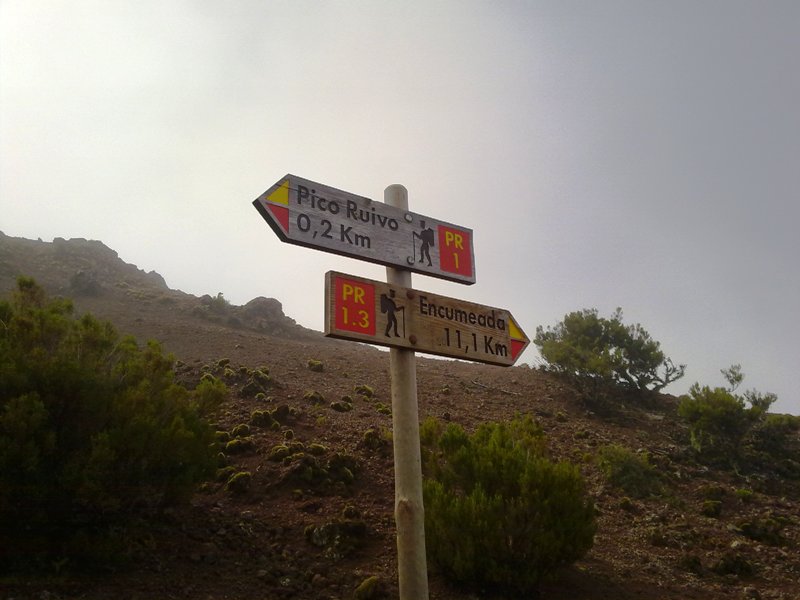
The Vereda do Pico Ruivo is the shortest and most direct route to the summit of Pico Ruivo (1,862 m) — the highest peak on Madeira island. It's one of the most popular and rewarding hikes on the island, and also one of the most accessible ways to reach a mountain summit.
| Trail code | PR 1.2 |
| Route | Achada do Teixeira → Pico Ruivo |
| Distance | 2.8 km one way (+ 2.8 km return) |
| Duration | ~1 h 30 min (one way) |
| Difficulty | Moderate |
| Start point | Achada do Teixeira |
| End point | Pico Ruivo (1,862 m) |
| Max altitude | 1,857 m |
| Min altitude | 1,592 m |
| Managed by | IFCN |
This trail requires a payment via the SIMplifica portal:
- €4.50 — visitors > 12 years
- Free — visitors ≤ 12 years
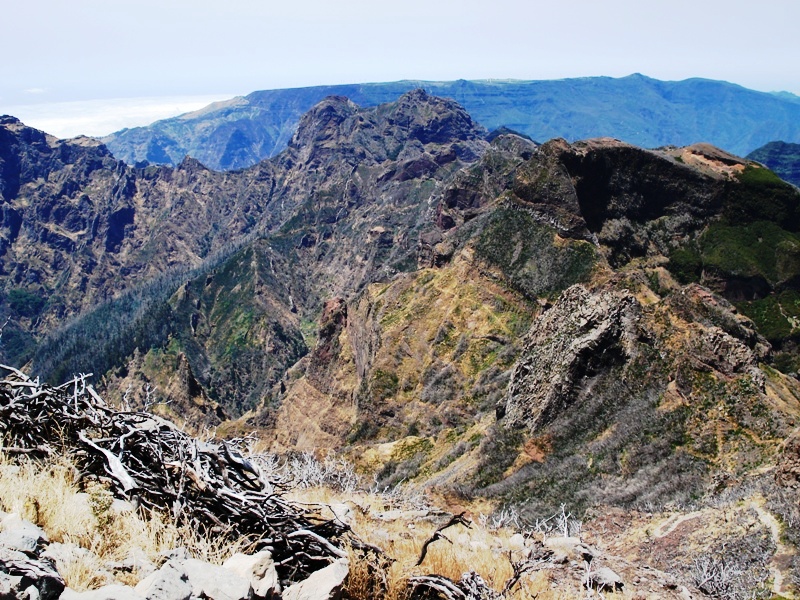
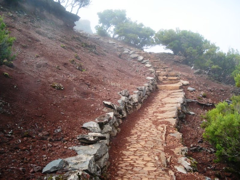
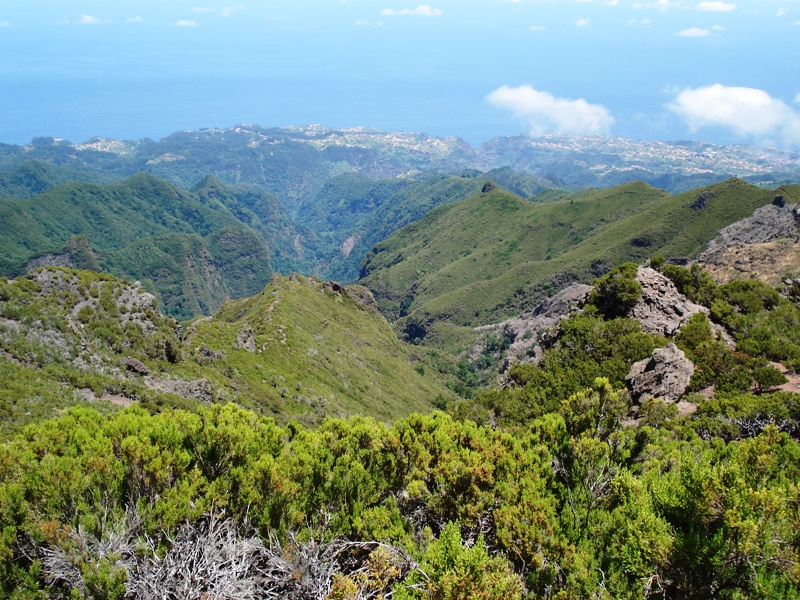
Starting at Achada do Teixeira (the trailhead is right by the car park), the path climbs steadily through ericaceous heath and impressive volcanic rock formations, including the famous Homem em Pé (Standing Man) — a basalt column that resembles a human figure. The trail is well-maintained, with steps carved into the rock and tunnels through the ridge.
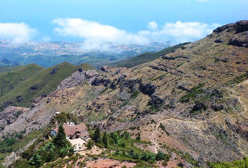
As you near the summit, the vegetation gives way to bare rock and sweeping 360° views across the entire island — on a clear day you can see the north and south coasts simultaneously. The final stretch involves a short staircase up to the Pico Ruivo summit shelter and viewpoint, the highest point in Madeira at 1,862 m.
It's an out-and-back trail — you return the same way.
- Directions to the trailhead ↗
- Webcam at Achada do Teixeira — a great way to check conditions before you go: NetMadeira webcam
⚠️ Always check the current trail status before setting out. Mountain weather can change fast — at nearly 1,900 m, fog, wind and cold can arrive quickly. I can check today's IPMA weather warnings and mountain forecast for you if you're planning to go.
▶ Watch: Vereda do Pico Ruivo — a video overview of the trail
Photos from walkmeguide.com
Want me to check tomorrow's mountain weather + IPMA warnings for Pico Ruivo, or show you how to get to Achada do Teixeira by bus?