💭 Thinking
How this was derived · 4 steps

- Vereda da Encumeada Directions
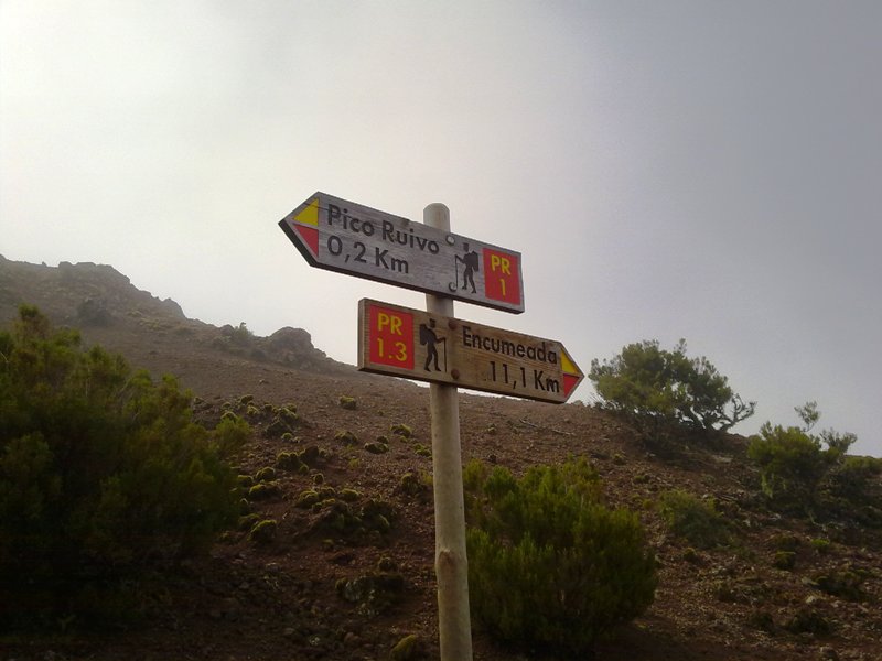
Route: Pico Ruivo → Encumeada
Distance: 11.2 km
Difficulty: Moderate
Duration: ~5 hours
Altitude: 1,009 m (min) – 1,764 m (max)
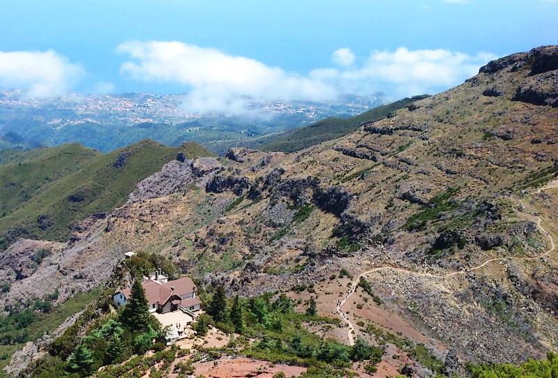
Start point: Casa de Abrigo do Pico Ruivo
End point: Encumeada
Managed by: IFCN (Madeira's forests & nature-conservation authority)
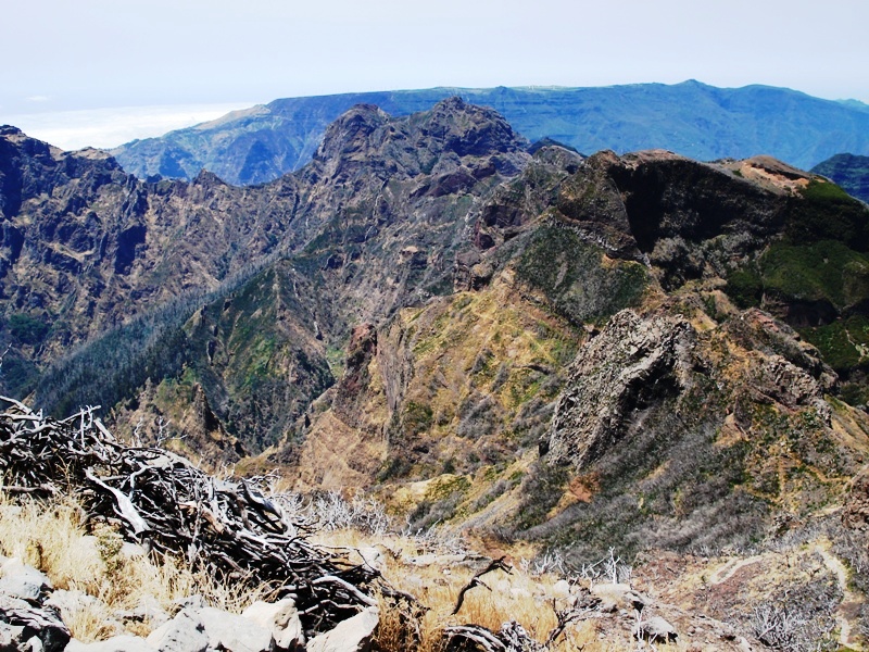
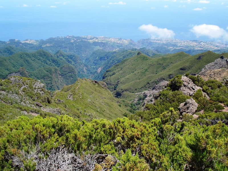
Vereda da Encumeada is a stunning ridge-walk along the spine of Madeira's central mountain range, starting at the shelter hut below Pico Ruivo (the island's highest peak at 1,862 m) and finishing at the Encumeada pass. At 11.2 km and roughly 5 hours, it's one of the longer PR trails — rated moderate, but with serious altitude (you're above 1,000 m pretty much the entire way) and exposure in places.
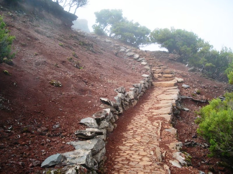
The route traverses dramatic peaks and valleys, with panoramic views stretching across both the north and south coasts on clear days. The terrain mixes narrow ridgeline paths with sections of forest and rock, making it one of the most scenically rewarding hikes on the island. It can be combined with PR 1.2 (Vereda do Pico Ruivo) or accessed via PR 1.1 from Achada do Teixeira to form a longer day.
This trail requires paid access via the SIMplifica portal:
- €4.50 — visitors > 12 years
- Free — visitors ≤ 12 years
- Trailhead (Casa de Abrigo do Pico Ruivo): Directions ↗
- End point (Encumeada): accessible by road; organised transport or taxi recommended for the return.
⚠️ Trail conditions change — check the current open/closed/restricted status before setting out on OpenMadeira or the IFCN site.
Source: VisitMadeira · Photos: walkmeguide.com
Want me to check the mountain weather forecast and IPMA warnings for the day you're planning to go, or look at buses to reach the trailhead?