OpenMadeira
Tell me about the PR 12 Caminho Real da Encumeada hike in Madeira
💭 Thinking
The user is asking about the PR 12 Caminho Real da Encumeada hike in Madeira. I need to look up this specific trail using the find_hikes tool, and also find curated videos for it. Let me call both inparallel.The find_hikes returned count:0 with no trail data, but it has a note about an "EVERGREEN trail guide for a static page." This seems like the tool didn't actually return the trail data. Let me try again with a more specific query, or try the near parameter. Wait, looking more carefully, the result shows count:0 and no hikes array. But there's a note. This might mean the trail wasn't found. Let me try again differently. Actually, let me re-read the result. It says count:0 and hikes is an empty array. The note seems to be a generic instruction, not specific trail data. Let me try the query differently. Let me try with "Encumeada" as the query.I found PR 12 Caminho Real da Encumeada in the results. Let me compile the details: - PR code: PR 12 - Name: Caminho Real da Encumeada - Route: Boca da Corrida – Encumeada - Distance: 12.5 km - Difficulty: Moderate - Duration: 5 hours - Start point: Boca da Corrida Viewpoint - End point: E.R. 228 (Encumeada) - Max altitude: 1,323 m - Min altitude: 830 m - Managing entity: IFCN - Access fee: €4.50 (visitors > 12 years), exempt for visitors ≤ 12 years, via SIMplifica portal - Directions URL: https://www.google.com/maps/dir/?api=1&destination=32.711065,-16.987193 - Detail page: https://visitmadeira.com/en/what-to-do/nature-seekers/activities/hiking/pr-12-caminho-real-da-encumeada/ - Photo gallery source: https://walkmeguide.com/en/madeira/trail/13/caminho-real-da-encumeada-pr12 - No AllTrails rating available for this trail - Webcam nearby: https://www.netmadeira.com/webcams/show/netmadeira/ribeira-brava The note says not to state open/closed status since this is an evergreen guide page and status changes. I should tell the reader to check current trail status. The question is in English, so I'll write the answer in English.
How this was derived · 4 steps
TrailsMap & photos
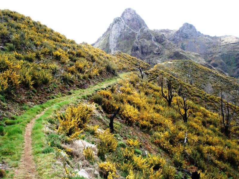
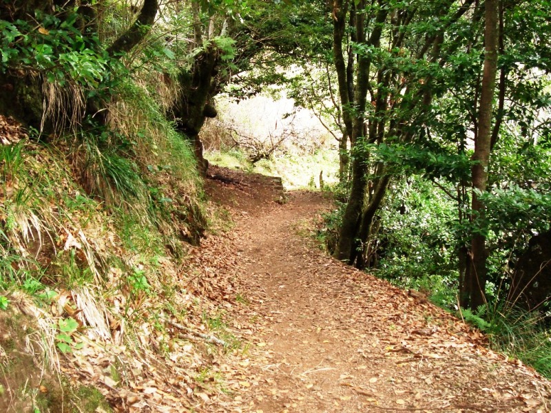
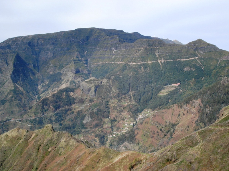
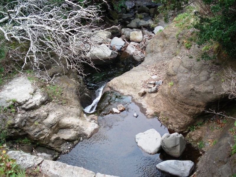
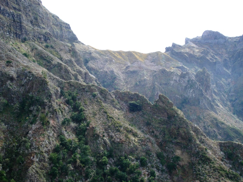
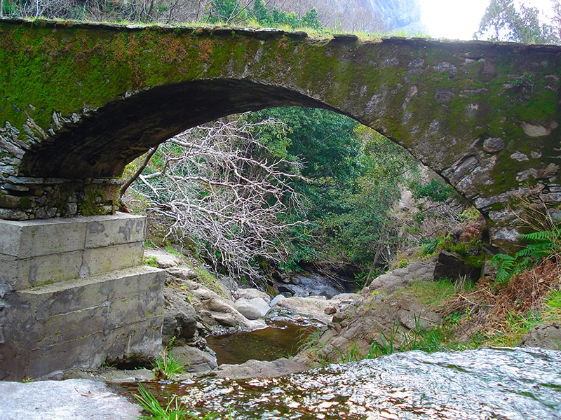
Caminho Real da Encumeada6 photos
Caminho Real da EncumeadaCaminho Real da EncumeadaCaminho Real da EncumeadaCaminho Real da EncumeadaCaminho Real da EncumeadaCaminho Real da Encumeada
Official PR trail (IFCN) Community route (AllTrails — not official)
Photos: walkmeguide.com · green = official IFCN PR trail · amber = community route (AllTrails)
PR 12 — Caminho Real da Encumeada

Caminho Real da Encumeada ("Royal Path of Encumeada") is an official IFCN-managed trail that crosses Madeira's dramatic central ridge from the Boca da Corrida viewpoint westward to Encumeada Pass — one of the island's most scenic mountain crossings.

Key facts
RouteBoca da Corrida Viewpoint → E.R. 228 (Encumeada)
Distance12.5 km
DifficultyModerate
Duration~5 hours
Max altitude1,323 m
Min altitude830 m
Managed byIFCN
Access fee

€4.50 per visitor (over 12 years), free for children 12 and under — payable via the SIMplifica portal.

About the trail

The path follows an old caminho real (royal road) — one of the historic footpaths that were the island's main arteries before modern roads. Starting from Boca da Corrida, it traces the ridgeline westward with sweeping views over the valleys of Curral das Freiras to the south and São Vicente to the north, ultimately reaching the Encumeada Pass at roughly 1,000 m, where the ER-228 road crosses the central spine of the island.

The route is classified as moderate, but at altitude it can feel more demanding — the terrain is uneven in places and the ridge is exposed to wind and mist. Clear days reward you with some of the finest panoramic views on the island.

Getting there

Directions to the trailhead ↗ — Google Maps will route you from your current location to the Boca da Corrida start.

Before you go

⚠️ Check the current trail status on OpenMadeira before setting out — conditions can change, especially at this altitude. Also check the IPMA weather warnings for Madeira's mountain regions, as fog, wind, and rain can make the exposed ridge sections hazardous.

Photos: walkmeguide.comVisit Madeira trail page ↗

Would you like me to check the mountain weather forecast and any IPMA warnings for the day you're planning to go?

OpenMadeira can make mistakes — check the sources.