💭 Thinking
How this was derived · 3 steps
- Caminho do Pináculo e Folhadal 4.7 Directions
⚠️ Status: Partially open — the section from Encumeada to Bica da Cana is walkable, but the section from Bica da Cana to Lombo do Mouro remains closed. You should currently hike out-and-back to Bica da Cana rather than attempt the full loop. Always check the current official status before setting out.
| Official code | PR 17 |
| Type | Vereda/Levada mix (loop) |
| Difficulty | Difficult |
| Distance | 15 km (full loop) |
| Duration | ~6 h 30 min |
| Start | Lombo do Mouro |
| End | Encumeada |
| Max altitude | 1,490 m |
| Min altitude | 970 m |
| Access fee | €4.50 per person (€3 with IFCN protocol operator) — book via SIMplifica |
| Managing authority | IFCN |
| AllTrails | 4.7★ from 285 hiker reviews — AllTrails page |
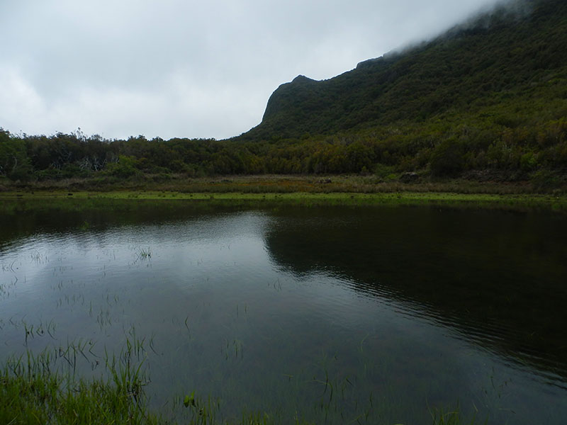
PR 17 starts beside the regional road ER 110 at Lombo do Mouro (the ascent from Encumeada towards Paul da Serra) and ends at Encumeada. It follows the Levada da Serra and Levada do Norte through a stunning mix of landscapes:
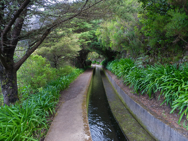
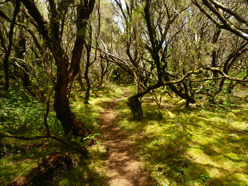
1. Levada section — The trail begins along the levada with views over the Ribeira Brava valley and the Encumeada pass. The path is relatively flat here, flowing through lush Laurisilva forest (part of the Natura 2000 network) rich in endemic plants like the Orquídea da Serra, Ranúnculo, Estreleira, and Gerânio.
2. Tunnels & waterfalls — You'll pass through several long, pitch-dark tunnels carved into the rock (a headlamp is mandatory). Water drips from the ceilings and the floor can be wet. cascading waterfalls line this section.
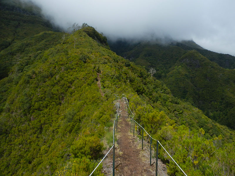
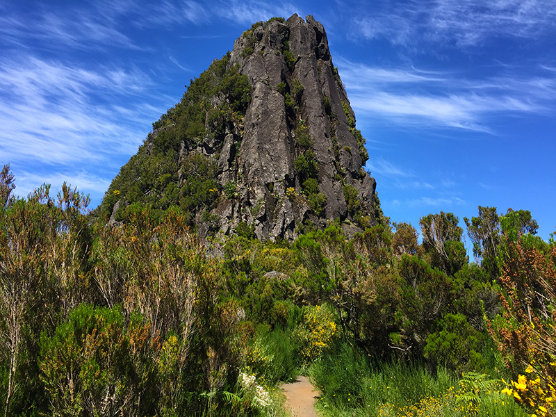
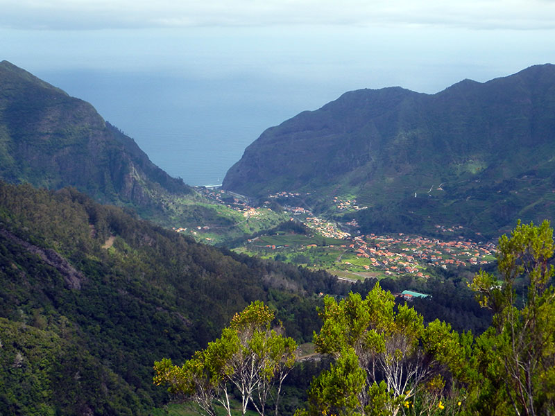
3. Ridge & Pináculo — The trail leaves the levada and climbs steeply via stone steps. At the Pináculo ridge (around 1,400 m), you're rewarded with panoramic views over the São Vicente valley and, on a clear day, the central mountain range with Pico Ruivo (1,862 m) and Pico do Areeiro (1,818 m) in the distance.
4. Folhadal — After the ridge, the levada splits into two branches; you follow the Levada do Norte terrace (whose water heads to the Serra d'Água hydroelectric plant). More waterfalls and tunnels lead to the Folhadal area, named after the abundant Folhado trees (Clethra arborea).
5. End at Encumeada — The trail finishes at Encumeada, where it connects to PR 1.3 Vereda da Encumeada (which leads to Pico Ruivo).
- Vertigo danger — Exposed sections along the ridge and narrow levada paths. Not suitable for those with a fear of heights.
- Tunnels — Long and unlit; a headlamp/flashlight is essential. Water drips from ceilings and the floor can be slippery.
- Weather changes fast — At ~1,500 m, conditions can shift rapidly. Bring warm layers and a waterproof jacket, even on a sunny day.
- Muddy and slippery — Sections can be muddy year-round, especially after rain. Proper hiking boots with good grip are a must; trekking poles help on the steep stone steps.
- Remote — Very few other hikers on this trail. Go with a companion if possible and carry enough water and snacks for a full day.
The trailhead at Lombo do Mouro is on the ER 110 road between Encumeada and Paul da Serra. By car, it's about a 20-minute drive from São Vicente. Free parking is available near the Miradouro da Encumeada (souvenir shop area), though not at the restaurant car park.
Public transport is very limited. Bus 139 runs from Funchal to São Vicente (one morning departure), and bus 6 passes through Encumeada, but schedules make it tricky — arranging a taxi or car is strongly recommended.
With the section beyond Bica da Cana closed, most hikers currently do an out-and-back from Encumeada to Bica da Cana (~7 km one way, ~14 km round trip, ~5–6 hours). This covers the most scenic section — the levada, tunnels, waterfalls, and the ridge walk. If you continue all the way to Bica da Cana and back, it's roughly 22 km round trip. The ridge walk is the highlight, so turning around at the ridge viewpoint (~7 km in) is also a great option at about 4–5 hours total.
Would you like me to check the mountain weather forecast and IPMA warnings for the day you plan to hike?