💭 Thinking
How this was derived · 4 steps
- Caminho Real do Paul do Mar Directions
Here's what you need to know about PR 19 – Caminho Real do Paul do Mar:
| Route | Prazeres → Paul do Mar |
| Distance | 1.8 km |
| Duration | ~1 h 20 min |
| Difficulty | Moderate |
| Max altitude | 550 m |
| Min altitude | 16 m |
| Managed by | IFCN |
This trail requires a paid access pass via the SIMplifica portal:
- €4.50 – Visitors over 12 years
- Free – Visitors 12 years and under
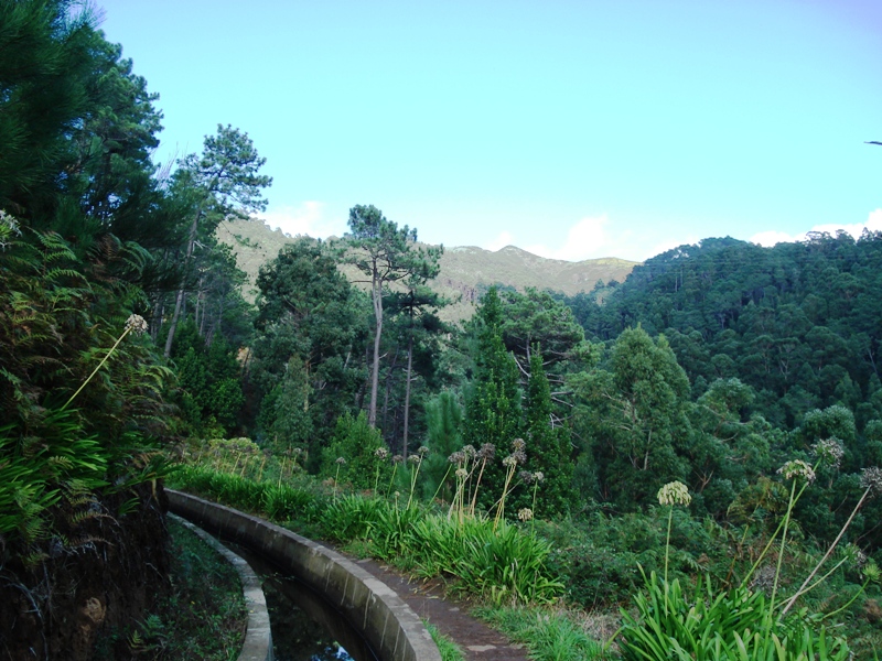
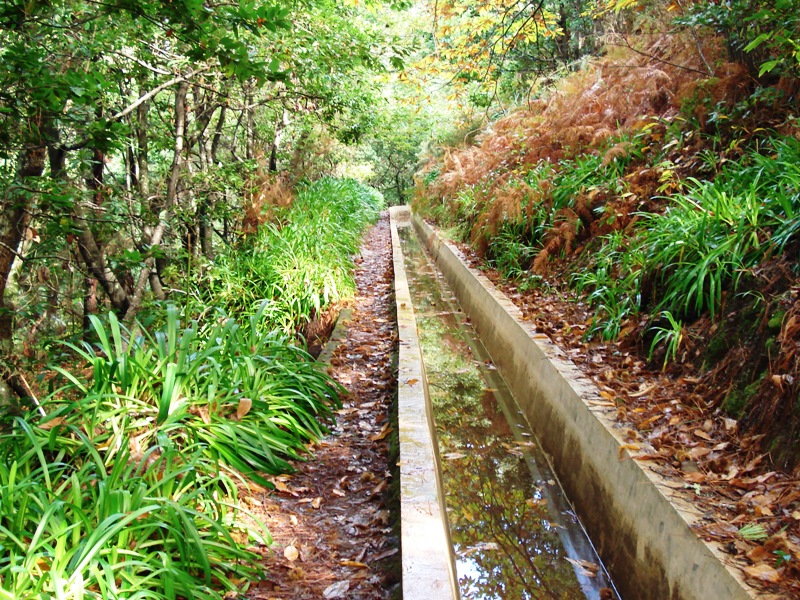
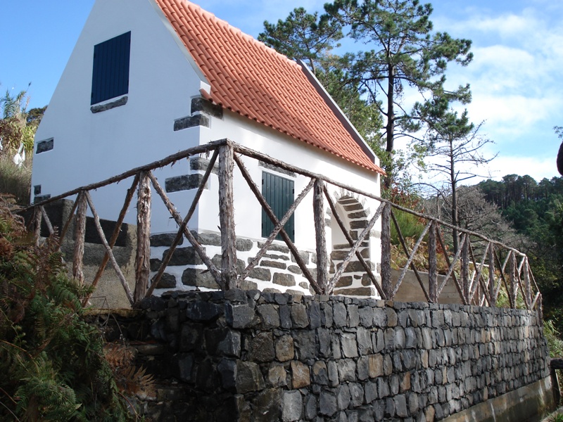
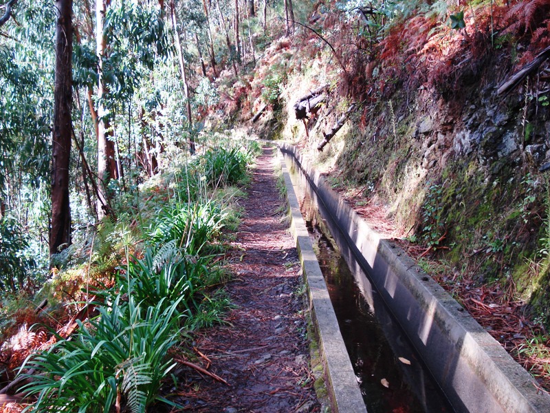
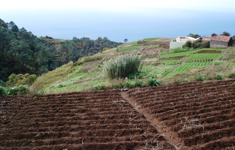
The Caminho Real do Paul do Mar ("Royal Path to Paul do Mar") is a short but dramatic descent from the hilltop village of Prazeres down to the fishing village of Paul do Mar on Madeira's sunny southwest coast. The trail follows an old royal path (caminho real) — the historic route that once connected these communities.
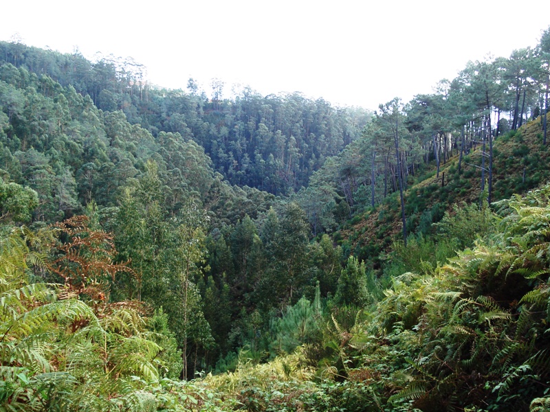
Starting at around 550 m altitude, you drop steadily through terraced farmland and open hillside with sweeping views over the Atlantic, eventually reaching sea level at Paul do Mar (16 m). The descent is the main feature — it's moderately steep in sections, which is why it's rated moderate despite its short length. The path is well-maintained stone steps and compacted earth.
Highlights:
- Panoramic ocean and cliff views throughout the descent
- The contrast between the lush upland and the arid, sun-baked coast
- Arriving in the charming fishing village of Paul do Mar — a great spot for fresh fish and a swim
- A relatively quick hike that fits easily into a half-day
▶ Directions to the trailhead ↗
The trail starts in Prazeres (municipality of Calheta). You can reach Prazeres by car or regional bus. Keep in mind this is a point-to-point hike — you may want to arrange transport back from Paul do Mar, or Factor in the uphill return if hiking both ways.
Check the current trail status on OpenMadeira before setting out — trail conditions can change due to maintenance, weather, or seasonal restrictions. Also check the mountain weather forecast and any IPMA weather warnings for the area, as steep paths can become slippery in rain.
Photos from WalkMeGuide
Want me to check the mountain forecast and any weather warnings for the day you're planning to hike, or look into bus options to get to Prazeres?