OpenMadeira
Tell me about the PR 21 Caminho do Norte hike in Madeira
💭 Thinking
The user is asking about a specific hiking trail - PR 21 Caminho do Norte in Madeira. I should use the find_hikes tool to get the official information about this trail.The find_hikes tool returned no results for "PR 21 Caminho do Norte". Let me try a broader search - maybe just "PR 21" or "Caminhodo Norte".I have the trail details for PR 21 Caminho do Norte. Let me compile the information and present it clearly. The trail doesn't have a current status in the result (status field is empty), and there's no alltrails rating object. Let me note the key details: - PR code: PR 21 - Name: Caminho do Norte - Region: Madeira - Difficulty: Moderate - Distance: 3.2 km - Duration: 1:30 hours - Start: Encumeada - End: Ribeira Grande - Max altitude: 1000m - Min altitude: 320m - Access fee: €4.50 for visitors > 12 years, exempt for ≤ 12 years (via SIMplifica portal) - Managing entity: IFCN - Route: Encumeada - Ribeira Grande I should also provide practical info like how to get there. The directions_url is provided. Let me also check if there's a video available for this trail. Since the status field is empty, I need to check the current status. But actually, looking at the note, it says the status is "deliberately omitted" for evergreen pages. However, the `find_hikes` tool is supposed to return current status. The empty status field means I should note that they should check the current status. Wait, let me re-read the instructions: "ALWAYS state the trail's STATUS (open / closed / restricted) — lead with it". But the status field is empty in the result. The note says this is an evergreen trail guide and status is deliberately omitted. But the instructions say to state the status... Since I don't have a status value, I should tell the user to check the current status. Actually, looking more carefully at my instructions: "When a tool searched its scope and came back EMPTY" I should state it plainly. But the trail itself was found - it just doesn't have a status value. Let me be honest about this and direct them to check the current status. Let me also find a video of this trail for the follow-up offer. Let me present the trail info nicely and offer a cross-domain follow-up.
How this was derived · 2 steps
TrailsMap & photos
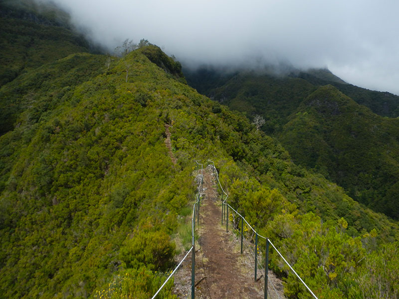
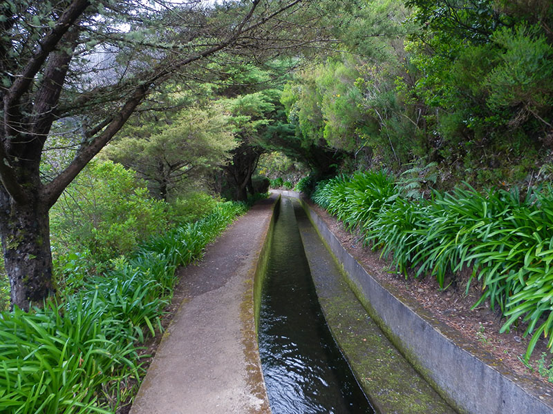
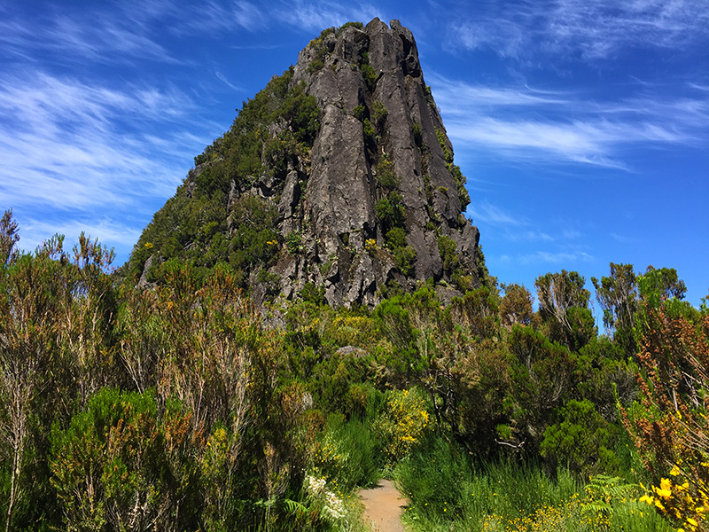
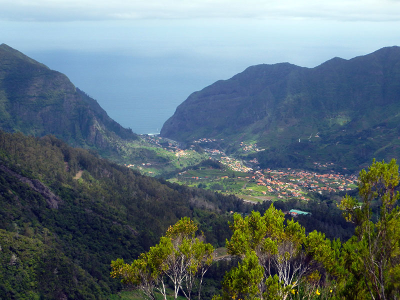
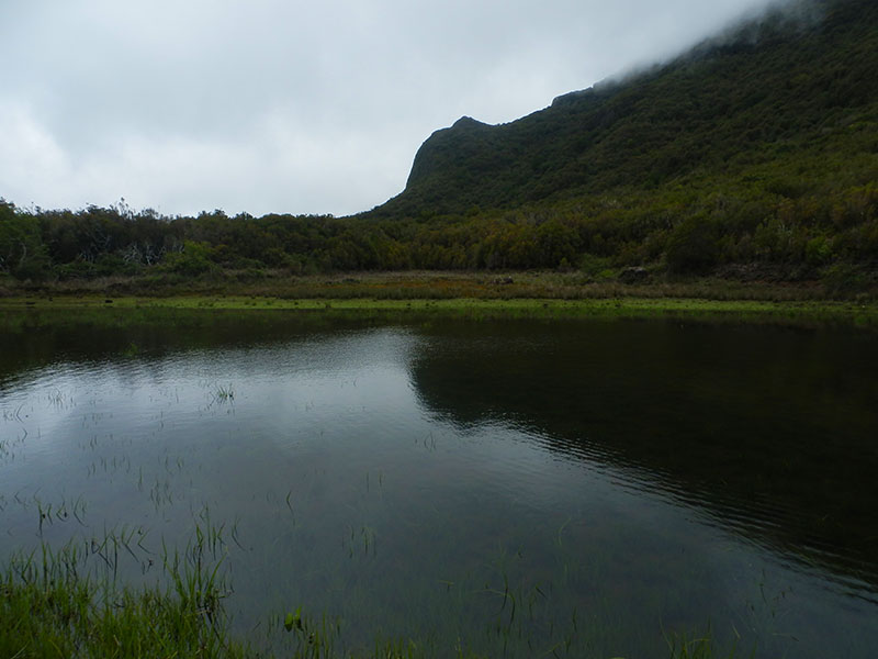
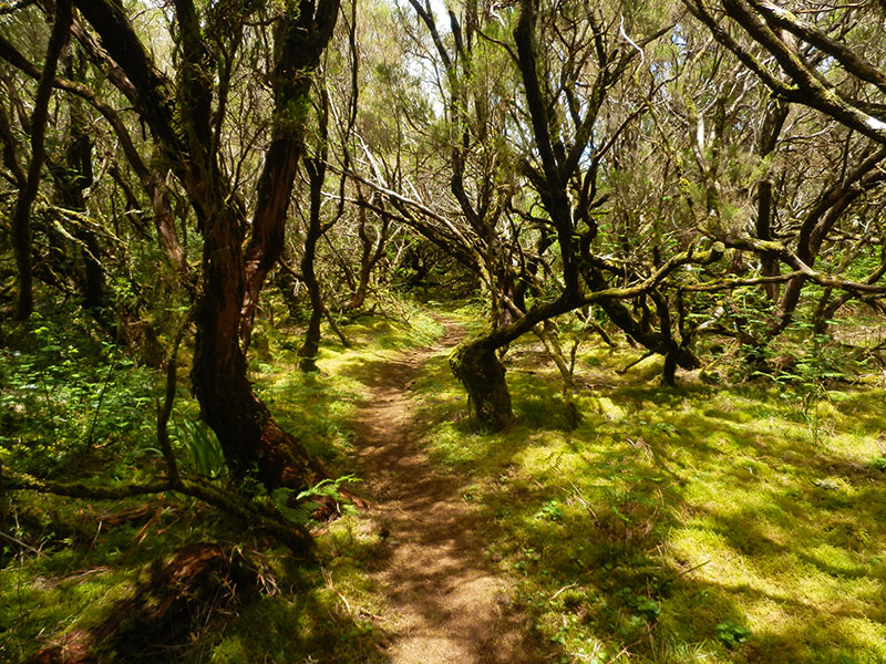
Caminho do Norte6 photos
Caminho do NorteCaminho do NorteCaminho do NorteCaminho do NorteCaminho do NorteCaminho do Norte
Official PR trail (IFCN) Community route (AllTrails — not official)
Photos: walkmeguide.com · green = official IFCN PR trail · amber = community route (AllTrails)
PR 21 — Caminho do Norte

Difficulty: Moderate · Distance: 3.2 km · Duration: ~1h30
Route: Encumeada → Ribeira Grande
Altitude: 320 m (min) – 1 000 m (max)

Managed by: IFCN (Instituto de Florestas e Conservação da Natureza)


About the trail

PR 21 Caminho do Norte begins at Encumeada — the mountain pass on the ER-225 that links the south and north coasts — and winds its way downhill through laurel forest and along old pathways to Ribeira Grande, on the island's north side. The trail gives you a real sense of Madeira's dramatic topography: starting up near the clouds at 1 000 m and descending through misty, mossy woodland to a lush river valley at 320 m.

The "Caminho do Norte" (Northern Path) follows part of the old route that connected the south and north coasts before modern roads — a historic footpath that locals used for centuries.

Access fee

This trail requires a paid access via the SIMplifica portal:

  • €4.50 — visitors over 12 years
  • Exempt — visitors ≤ 12 years
Getting to the trailhead

Directions to Encumeada trailhead ↗

Current status

⚠️ Check the current trail status before setting out — open/closed/restricted conditions change, especially in winter or after heavy rain. Check status on OpenMadeira.


Photos: walkmeguide.com

Would you like me to check the mountain forecast and IPMA weather warnings for the day you plan to hike, or show you a video of the trail?

OpenMadeira can make mistakes — check the sources.