💭 Thinking
How this was derived · 5 steps
- Levada da Rocha Vermelha 4.2 Directions
Route: Fanal → Casa dos guardas de canal (Lombo da Atouguia)
Distance: 10.7 km · Duration: ~4–5 hours · Altitude: 837 m – 1,297 m
Managed by: IFCN (Madeira's forests & nature conservation authority)
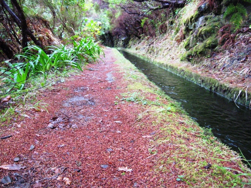
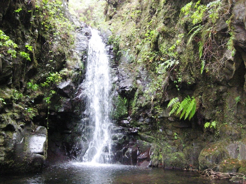
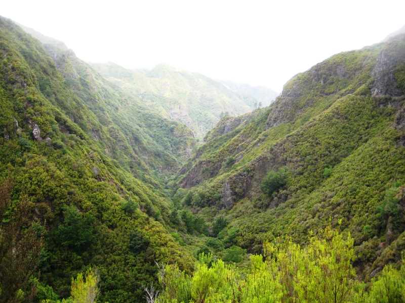
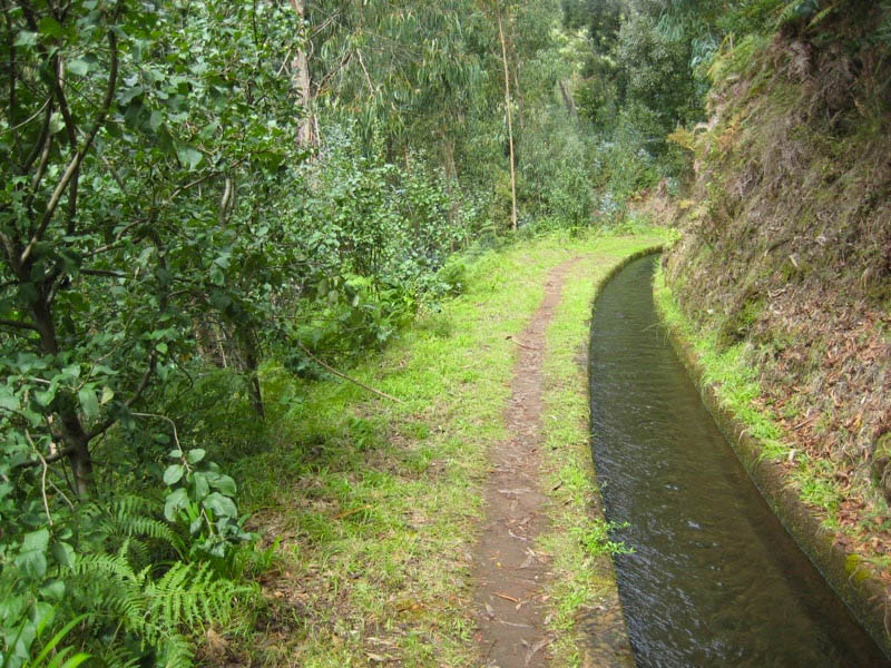
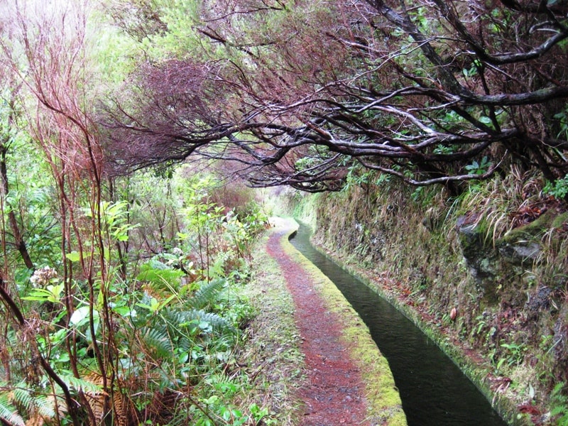
PR 28 is one of Madeira's most atmospheric levada walks, winding through the heart of the Laurissilva forest — a UNESCO Natural World Heritage Site — along the Rabaçal valley. The route follows the Levada da Rocha Vermelha along a spectacular irrigation channel carved into the hillside, passing waterfalls, long tunnels (bring a headtorch!), steep staircases, and dramatic natural viewpoints over the valley below.
The trail starts at Regional Road ER 209 in Fanal and initially shares a section with PR 13 Vereda do Fanal before branching off on its own path. It can also be accessed from the higher-elevation end of PR 6 Levada das 25 Fontes.
- Laurissilva forest in pristine condition — ancient laurel woodland dripping with moss and lichen
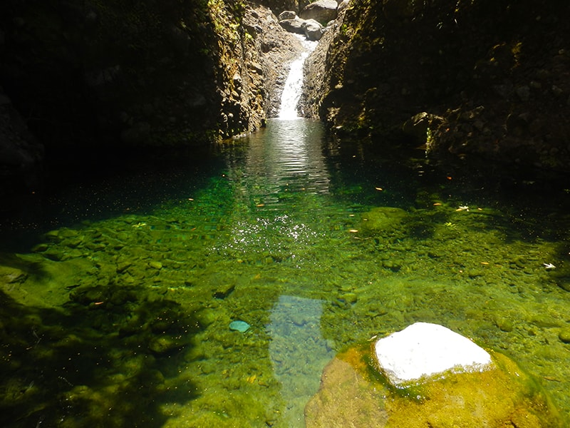
- Waterfalls cascading down the cliffs beside the levada
- Tunnels carved through the rock (a torch/phone light is essential)
- Steep staircases cut into the terrain — this trail is not for the faint-hearted!
- Panoramic viewpoints over the Rabaçal valley
| Visitor type | Price |
|---|---|
| Adults (> 12 years) | €4.50 |
| Children (≤ 12 years) | Free |
Payment is made via the SIMplifica portal before you go.
⭐ 4.2 / 5 from 118 hiker reviews on AllTrails — rated moderate to hard, with highlights including the forest, lake views, and wild flowers.
Directions to the trailhead ↗ — this routes from your own location.
Trail conditions change — check the current open/closed status on OpenMadeira before setting out. Some levada sections are vertiginous, and tunnels can be wet and dark, so always carry a torch and wear proper footwear. After rain, the path can be slippery.
Photos from walkmeguide.com · Official page: VisitMadeira
Would you like me to check the mountain weather forecast and IPMA warnings for the day you're planning to go, or find the closest bus route to the trailhead?