💭 Thinking
How this was derived · 1 step
- Levada do Risco 4.4 Directions
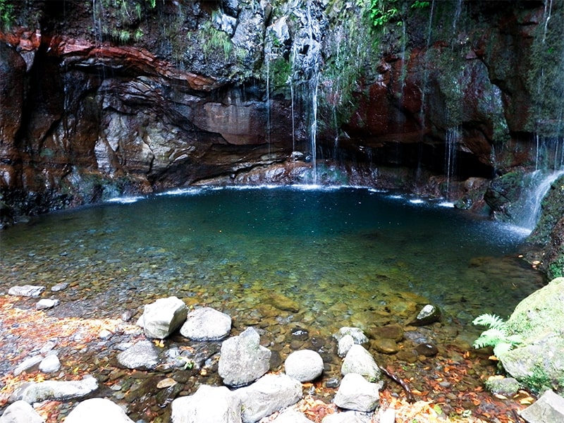
- Levada das 25 Fontes 4.5 Directions
- Levada do Alecrim 4.6 Directions
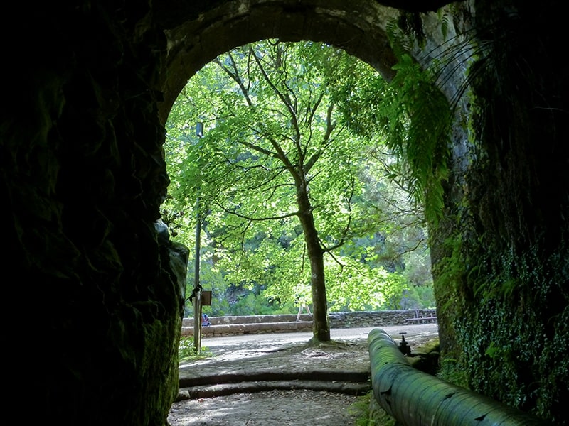
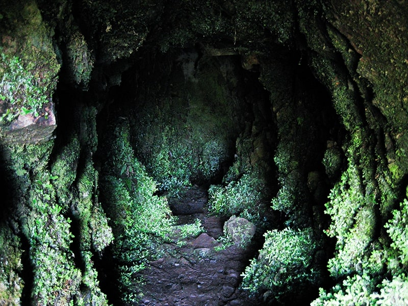
- Vereda do Túnel do Cavalo 4.6 Directions
- Levada do Alecrim 4.6 Directions
Route: Rabaçal → Risco (out-and-back)
Distance: 3 km each way (6 km total return)
Duration: ~2 hours
Difficulty: Easy (official IFCN rating)
Altitude range: 1,000 m – 1,288 m
Managing authority: IFCN (Madeira's forests & nature conservation service)
Access fee: €4.50 for visitors aged 12+ (free for children ≤ 12), payable via the SIMplifica portal
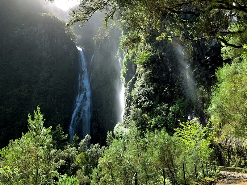
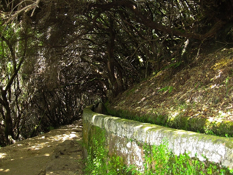
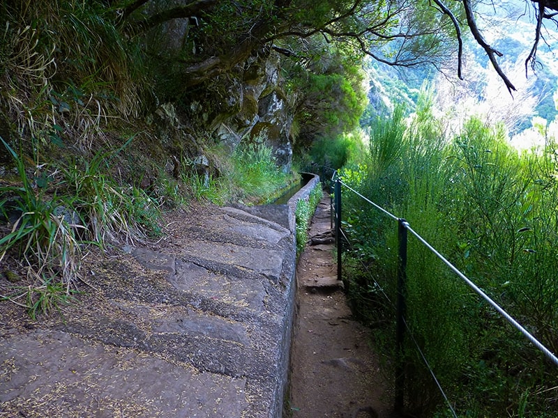
The trail starts at Rabaçal, on the ER105 regional road on the Paul da Serra plateau, and follows the levada westward through lush laurel forest (laurissilva) to the Cascata do Risco — a tall, elegant waterfall that spills down a sheer rock face. It's a relatively gentle, level levada walk compared to the steeper mountain veredas, making it one of the easier official trails in the Rabaçal area. The path runs alongside the levada channel, with mossy stone walls and dense vegetation on both sides — classic Madeira levada scenery.
Community rating: 4.4★ from 642 hiker reviews on AllTrails ↗ — note that AllTrails community hikers rate the difficulty as "hard" (likely accounting for the return walk and sometimes slippery conditions), while the official IFCN rating is "Easy".
The trailhead is at Rabaçal, in the municipality of Calheta, on the ER105 road across the Paul da Serra plateau. It's about a 50-minute drive from Funchal.
📍 Directions to the trailhead ↗
Levada do Risco shares its trailhead with several other popular walks, so it's easy to combine:
| Trail | Difficulty | Distance | Duration |
|---|---|---|---|
| PR 6 — Levada das 25 Fontes | Moderate | 4.3 km each way | 3 hours |
| PR 6.2 — Levada do Alecrim | Easy | 3.5 km each way | 2.5 hours |
| PR 6.6 — Vereda do Túnel do Cavalo | — | 2.3 km | — |
All of these require the same SIMplifica access fee.
Please check the current trail status (open / closed / restricted) on OpenMadeira before setting out — conditions change, especially after heavy rain.
Want me to check tomorrow's mountain forecast and IPMA warnings for the Rabaçal area, or show you a video of the trail?