💭 Thinking
How this was derived · 2 steps
- Vereda do Pico Fernandes Directions
- 25 Fontes Levada via Pico Fernandes 4.6 Directions
Official IFCN trail · Route: Paul da Serra → 25 Fontes · Distance: 3.8 km
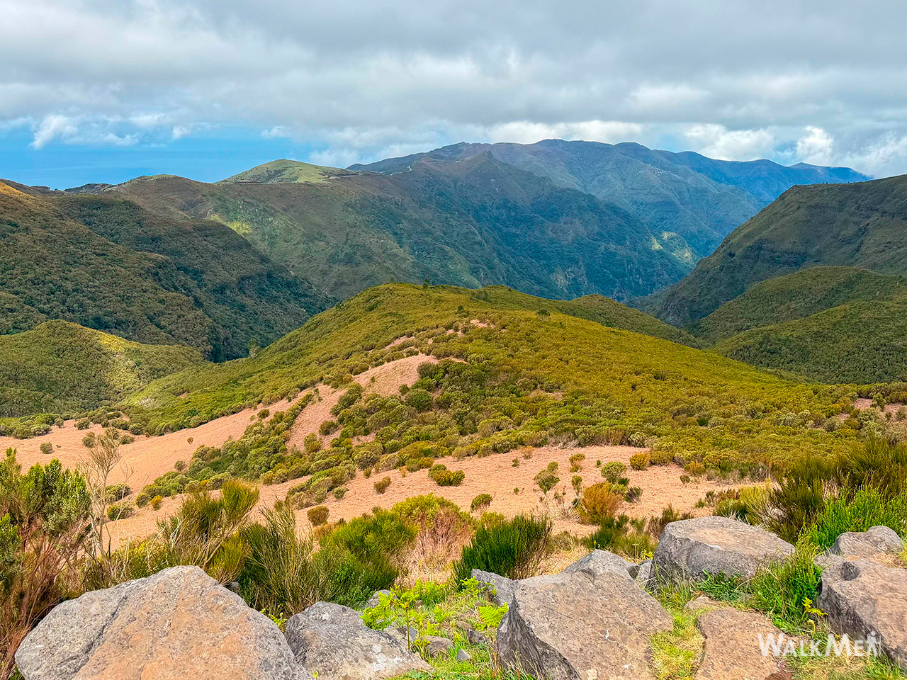
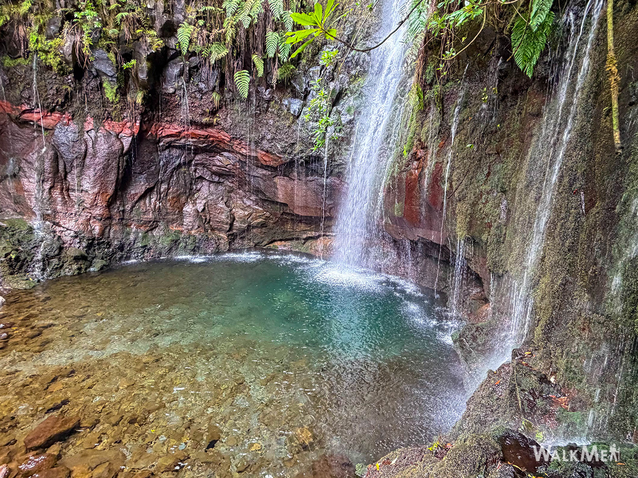
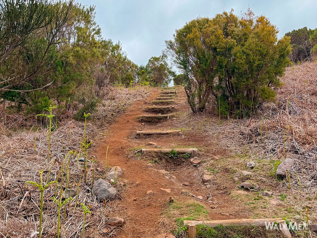
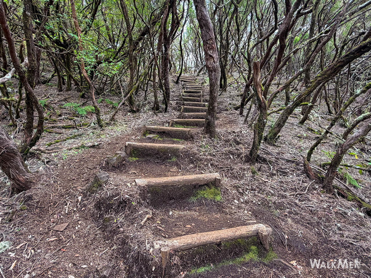
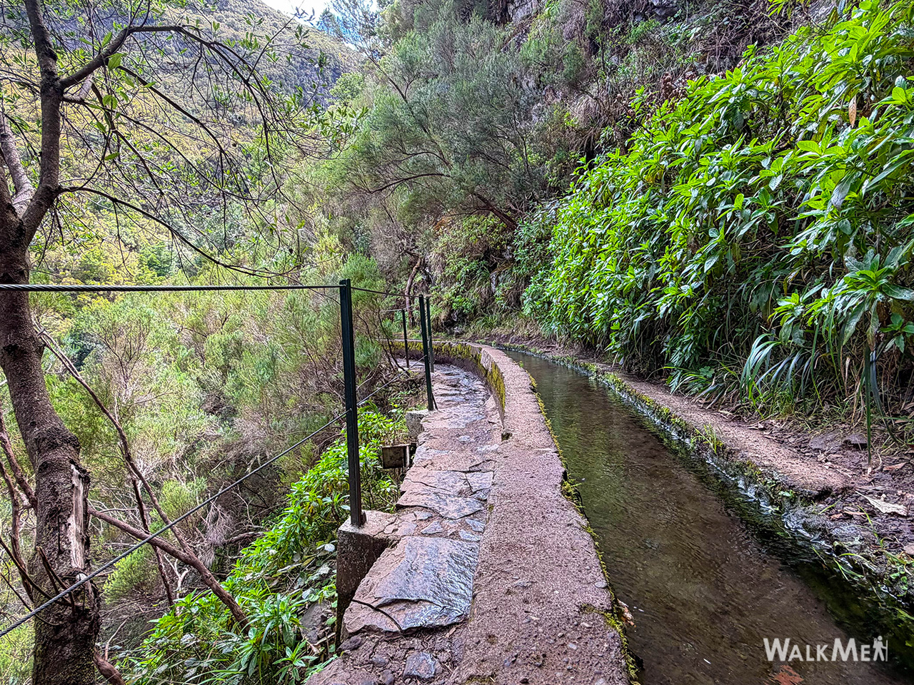
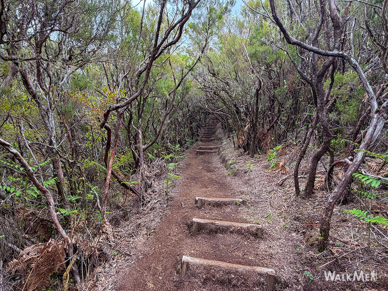
This short but scenic vereda starts on the Paul da Serra plateau and descends through Madeira's characteristic high-altitude heather and laurel landscapes, connecting to the famous Levada das 25 Fontes area — one of the island's most iconic spots.
| PR code | PR 6.5 |
| Name | Vereda do Pico Fernandes |
| Route | Paul da Serra – 25 Fontes |
| Distance | 3.8 km |
| Managed by | IFCN (Madeira's forests & nature authority) |
| Access fee | €4.50 (visitors > 12 years) · Free (visitors ≤ 12 years) — pay via the SIMplifica portal |
⚠️ Before you go: Check the current trail status on OpenMadeira — open/closed/restricted conditions change over time and aren't shown here.
▶ Directions to the trailhead ↗ — routes from your own location.
There's also a live webcam at Rabaçal so you can check conditions before setting out.
AllTrails also lists three longer community routes in this area. These are not official IFCN PR trails — they have no official open/closed status and no maintenance guarantee. Always check conditions locally.
| Route | Distance | Difficulty | Rating | Reviews |
|---|---|---|---|---|
| 25 Fontes Levada via Pico Fernandes | 9.8 km · loop · ~4–4.5 h | Hard | 4.6★ | 71 reviews |
| Levada das 25 Fontes – Pico Fernandes – Pico da Urze | 16.3 km · loop | Hard | 4.2★ | 111 reviews |
| Pico da Urze Dam – Fernandes Peak | 7.4 km · loop · ~2–2.5 h | Moderate | 4.2★ | 60 reviews |
Photos courtesy of walkmeguide.com · Source: IFCN + VisitMadeira + AllTrails
Want me to check the mountain forecast and IPMA warnings for the day you're planning to hike, or show you the closest trails to where you're staying?