OpenMadeira
Tell me about the Queimadas - Pico Ruivo [CLOSED] hike in Madeira
💭 Thinking
The user is asking about the Queimadas - Pico Ruivo hike in Madeira, which they've noted is closed. Let me look this up using the hikes tool to get the official information aboutthis trail.The find_hikes tool returned no results. Let me try a different query - maybe I should search for "PR 9" or just "Pico Ruivo" since "Queimadas - Pico Ruivo" might be known by a different name in the system.The find_hikes tool returned empty results for both searches. Let me try a broader search or a different query format.The user is asking about the "Queimadas - Pico Ruivo [CLOSED]" hike. I found it in the community trails list. It's a community/unofficial route mapped on AllTrails - NOT an official IFCN PR trail. Let me extract the details: - **Name**: Queimadas - Pico Ruivo [CLOSED] - **Description**: This trail starts in Queimadas and gradually climbs up to Pico Ruivo, Madeira's highest point. The trail passes through dense forest, where laurel trees predominate, and gains altitude between valleys and impressive rock formations. On reaching the summit, a spectacular panoramic view of the surrounding mountains and the ocean opens up, providing a unique experience of the island's natural and landscape diversity. - **Rating**: 3.8 (from 8 reviews on AllTrails) - **Difficulty**: hard - **Length**: 6.3 km - **Route type**: point to point - **Estimated time**: 3–3.5 hr - **Coordinates**: 32.78417, -16.90582 - **Directions URL**: https://www.google.com/maps/dir/?api=1&destination=32.784170,-16.905820 - **AllTrails URL**: https://www.alltrails.com/trail/portugal/madeira--2/queimadas-pico-ruivo - **Notice**: Community route mapped on AllTrails — NOT part of Madeira's official PR trail network managed by IFCN The name itself includes [CLOSED], which indicates this trail is closed/unofficial. Since it's not an official IFCN PR trail, it has no official open/closed status from IFCN, but AllTrails marks it as [CLOSED] in its name. I should also note there's a related trail "Queimadas - Pico Ruivo - Achada do Teixeira [CLOSED]" which is a 14.6 km loop version rated 4.7 from 62 reviews. Let me provide a thorough answer about thistrail.
How this was derived · 1 step
Trails near QueimadasMap & photos
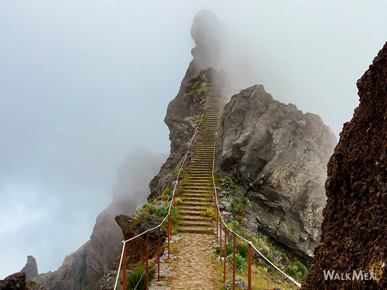
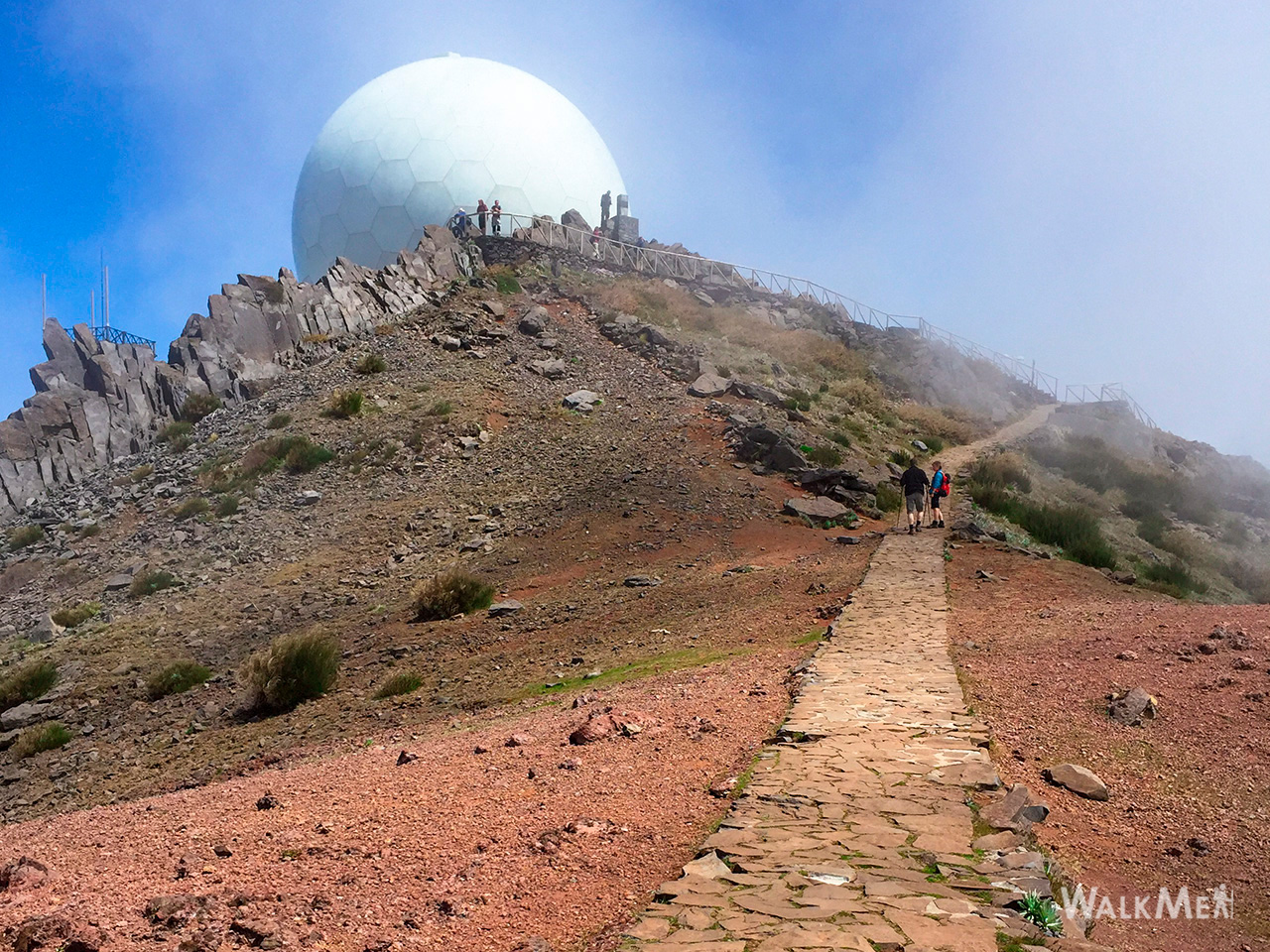
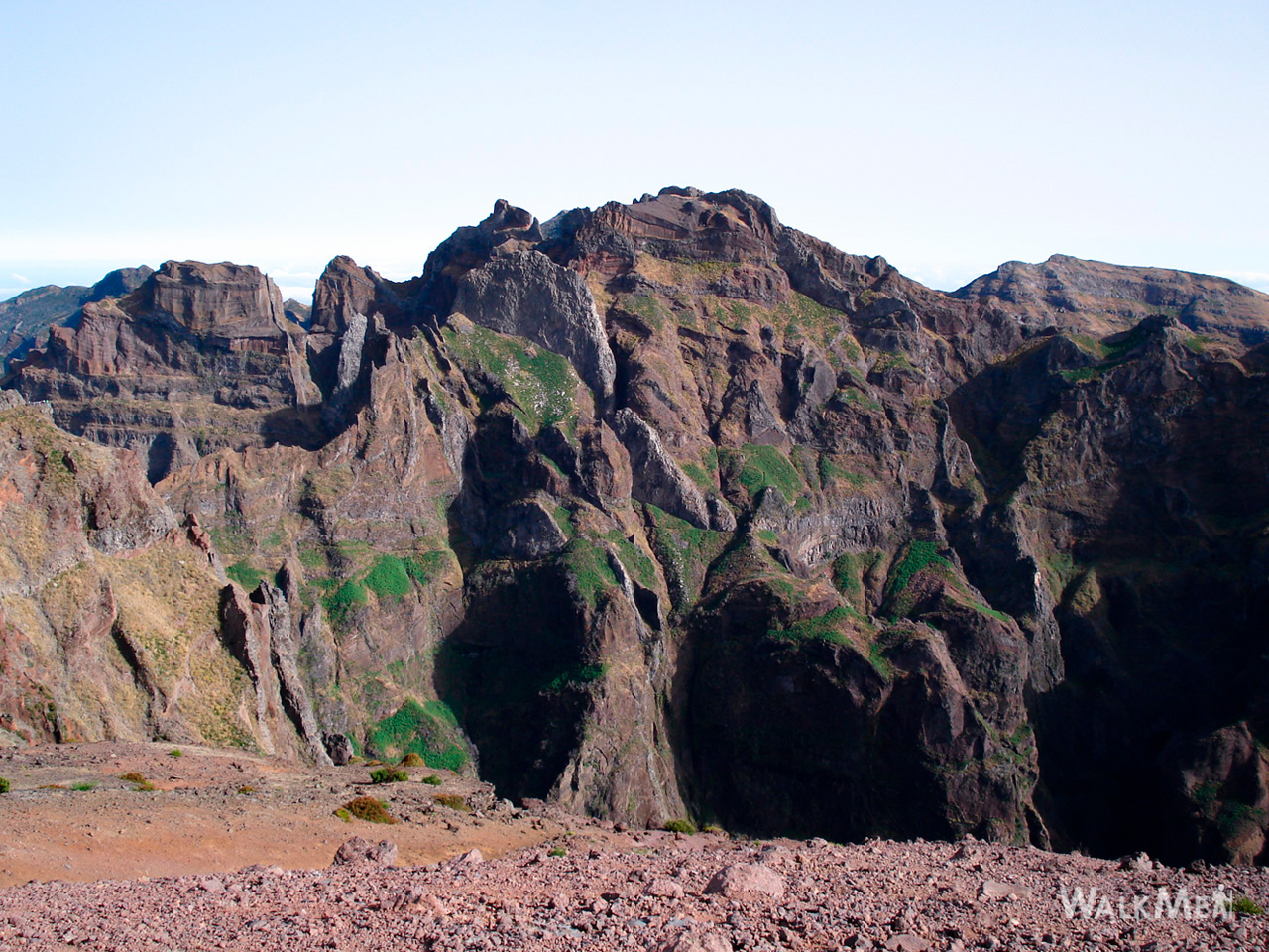
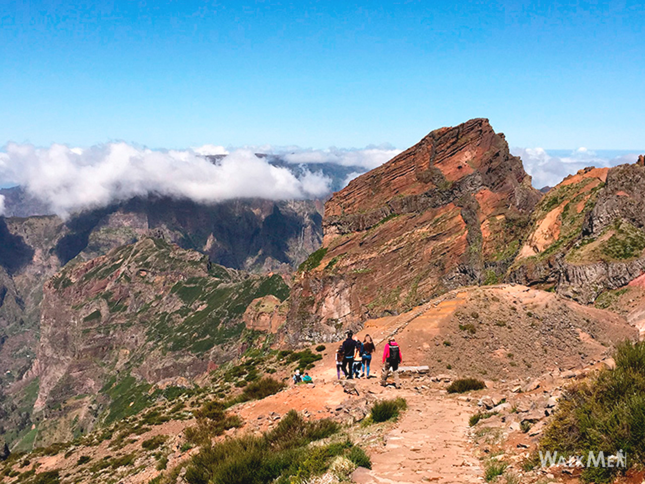
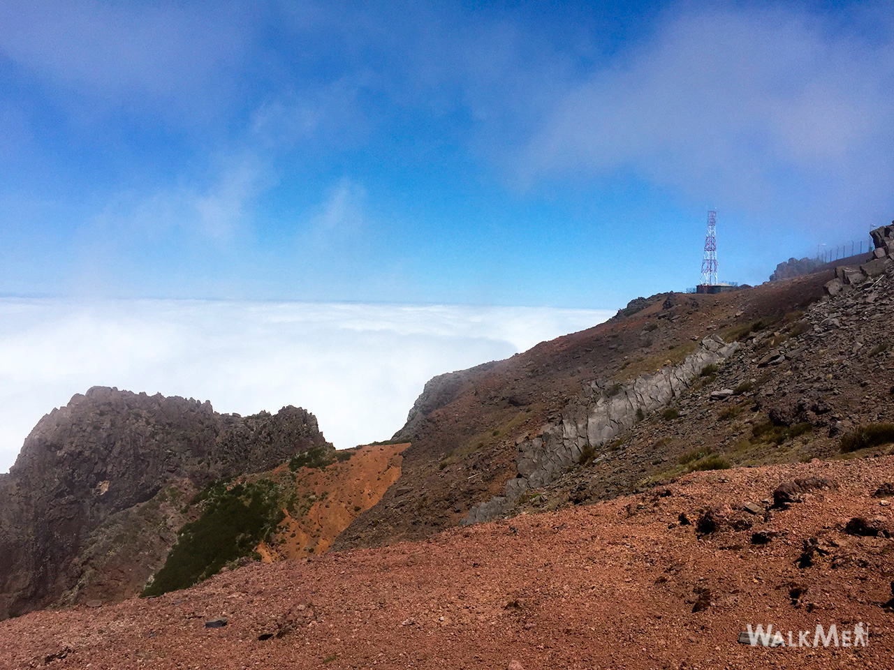
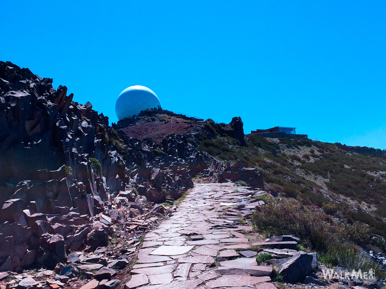
Vereda do Areeiro6 photos
Vereda do AreeiroVereda do AreeiroVereda do AreeiroVereda do AreeiroVereda do AreeiroVereda do Areeiro
Official PR trail (IFCN) Community route (AllTrails — not official)
Photos: walkmeguide.com · green = official IFCN PR trail · amber = community route (AllTrails)
Queimadas – Pico Ruivo

⚠️ This trail is currently marked as CLOSED on AllTrails. It is a community route mapped on AllTrails — not part of Madeira's official PR (Percurso Recomendado) trail network managed by IFCN (the regional government's forests & nature-conservation authority), so it has no official open/closed status and no maintenance or signage guarantee.


Trail details
Route typePoint to point
Distance6.3 km
DifficultyHard
Estimated time3 – 3.5 hours
StartQueimadas Forest Park (Santana)
EndPico Ruivo (Madeira's highest peak, 1,862 m)
AllTrails rating3.8★ (8 reviews)

The route starts at the Queimadas Forest Park in Santana and gradually climbs to Pico Ruivo, Madeira's highest point. It passes through dense laurel forest (Laurissilva) and gains altitude between deep valleys and impressive rock formations. On reaching the summit, you're rewarded with a spectacular panoramic view of the surrounding mountains and the ocean — a unique experience of the island's dramatic landscape diversity.

Directions to trailhead ↗ · AllTrails page ↗


⚠️ Important caveats
  • Not an official IFCN PR trail — there are no trail markers, no managed infrastructure, and no official open/closed status. Check access and conditions locally before going.
  • Marked CLOSED on AllTrails — the route name itself flags it as closed, likely due to dangerous or eroded sections. Do not attempt this trail without confirming local conditions and accessibility.
  • The nearby official route to Pico Ruivo is PR 1 Vereda do Areeiro (Pico do Areeiro → Pico Ruivo), which is maintained and signposted by IFCN — see below.

Safer alternatives to reach Pico Ruivo

The main official route to Pico Ruivo is PR 1 Vereda do Areeiro (6.1 km, Moderate, ~3.5 h) starting from Pico do Areeiro viewpoint. There's also a related community route, Queimadas – Pico Ruivo – Achada do Teixeira (14.6 km loop, Hard, ~7.5–8 h, 4.7★ from 62 reviews), also marked [CLOSED].

Would you like me to check current weather and IPMA warnings for the mountain area if you're planning a hike to Pico Ruivo, or show you the closest open official trails near Queimadas?

OpenMadeira can make mistakes — check the sources.