💭 Thinking
How this was derived · 1 step
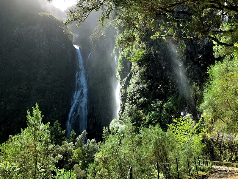
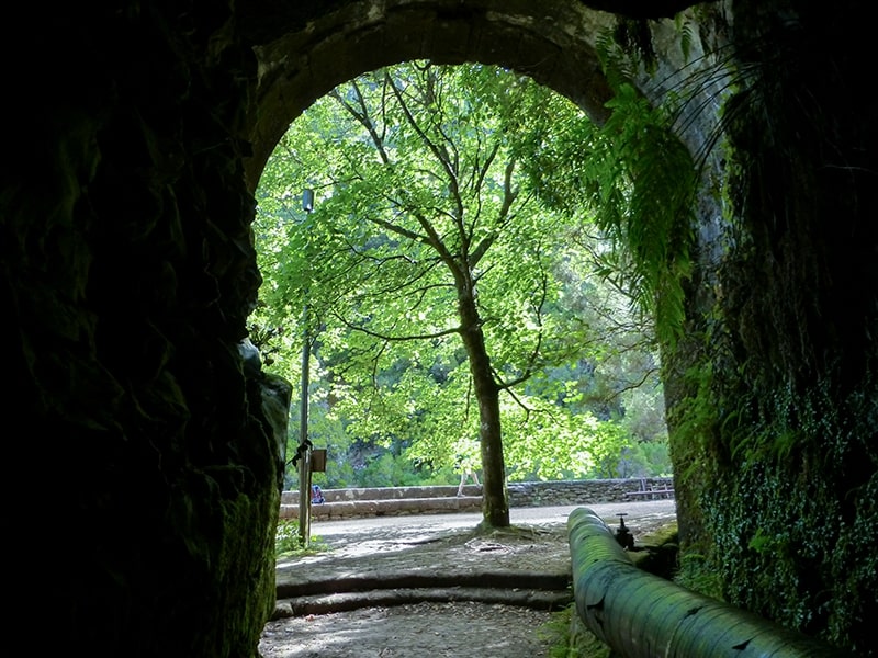
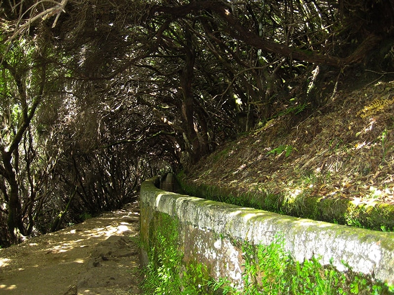
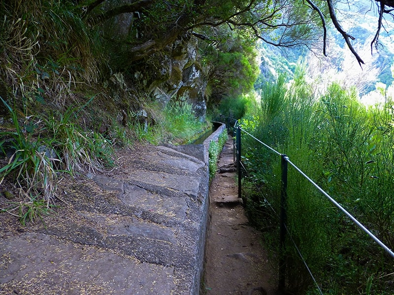
- Levada do Risco 4.4 Directions
- Levada das 25 Fontes 4.5 Directions
- Levada do Alecrim 4.6 Directions
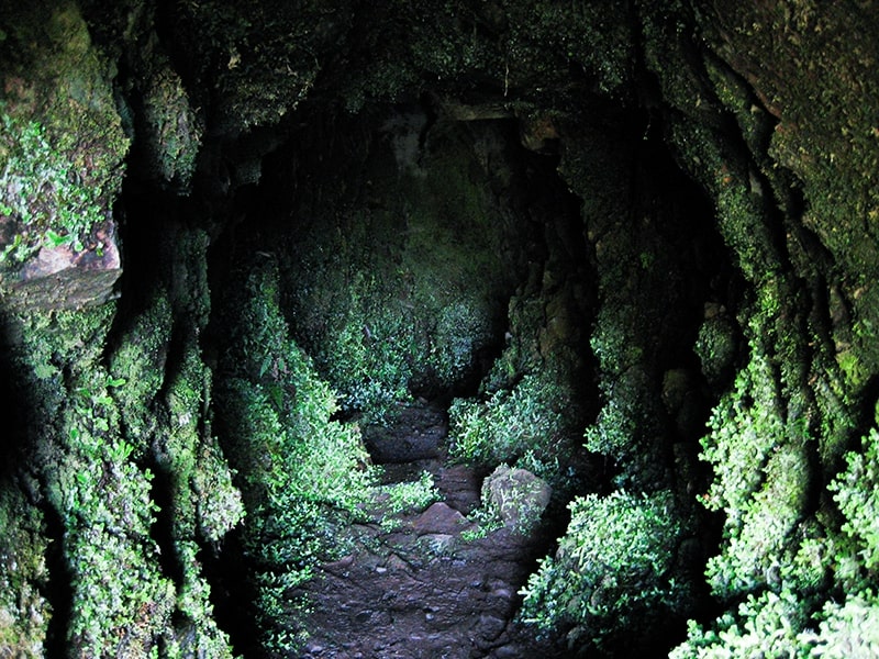
- Vereda do Túnel do Cavalo 4.6 Directions
- Levada do Alecrim 4.6 Directions
- Viewpoints at Rabaçal and Pico do Vento 4.4 Directions
The route you're asking about — Rabaçal → Pico do Vento → Lagoa da Dona Beja → Bica de Cana — isn't a single official PR trail, but it passes through areas covered by PR 6.2 Levada do Alecrim (which ends at Lagoa da Dona Beja) and closely matches a community-mapped route. Here's what I found:
This is the official trail that goes to Lagoa da Dona Beja (the lagoon in your route name):
| Route | Rabaçal – Nascente da Levada (Lagoa "Dona Beja") |
| Difficulty | Easy |
| Distance | 3.5 km (+ 3.5 km return) |
| Duration | ~2 h 30 min |
| Altitude | 1,256 m → 1,339 m |
| Access fee | €4.50 (over 12 yrs) via SIMplifica; free ≤ 12 yrs |
| Managed by | IFCN |
| Community rating | 4.6★ (1,719 reviews on AllTrails) |
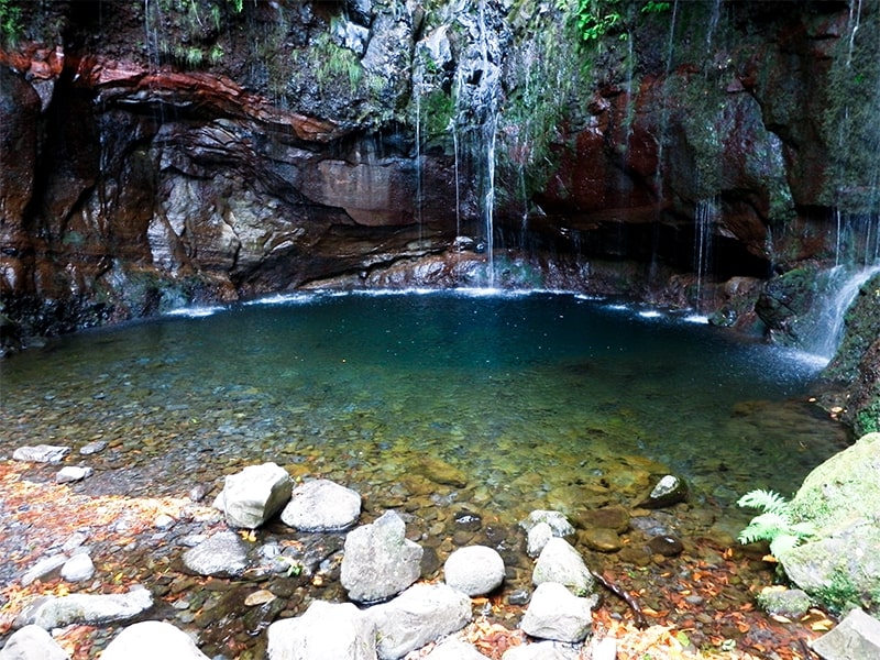
The trail follows the Levada do Alecrim through dense laurisilva forest with small waterfalls, ending at the beautiful Lagoa da Dona Beja — a natural lagoon where you can swim on hot days. It starts at Rabaçal (ER 105), the same trailhead as your route.
📖 VisitMadeira – PR 6.2 · 🥾 AllTrails · Directions to trailhead ↗
The closest match to your full route name — covering Rabaçal and Pico do Vento — is a community-mapped loop on AllTrails:
| Distance | 7.4 km (loop) |
| Estimated time | 3.5–4 hr |
| Difficulty | Hard |
| Rating | 4.4★ (120 reviews on AllTrails) |
| Route type | Loop |
⚠️ This is a community route mapped on AllTrails — not part of Madeira's official PR trail network managed by IFCN (the regional government's forests & nature-conservation authority). It therefore has no official open/closed status and no maintenance/signage guarantee; check access and conditions locally before going.
The route starts on the Paul da Serra plateau, passes through Pico da Urze to the Pico do Vento viewpoint with panoramic views over the Rabaçal valley and laurisilva forest, then continues to the Rabaçal viewpoint.
🥾 AllTrails – Viewpoints at Rabaçal and Pico do Vento · Directions to trailhead ↗
All of the Rabaçal-area trails share the same trailhead and require the €4.50 SIMplifica access fee:
| Trail | Difficulty | Distance | Duration | Rating |
|---|---|---|---|---|
| PR 6.1 Levada do Risco | Easy | 3 km (+ 3 km return) | 2 h | 4.4★ (642) |
| PR 6 Levada das 25 Fontes | Moderate | 4.3 km (+ 4.3 km return) | 3 h | 4.5★ (6,244) |
| PR 6.2 Levada do Alecrim | Easy | 3.5 km (+ 3.5 km return) | 2 h 30 | 4.6★ (1,719) |
| PR 6.6 Vereda do Túnel do Cavalo | — | 2.3 km | — | 4.6★ (595) |
| PR 6.8 Levada do Paul II | — | 1.2 km | — | — |
Your route (Rabaçal → Pico do Vento → Lagoa da Dona Beja → Bica de Cana) appears to be a longer combined loop that links PR 6.2's Lagoa da Dona Beja with the Paul da Serra viewpoints and the Bica de Cana area. It's not an official IFCN trail as a single route, but hikers commonly stitch these segments together. The community route Viewpoints at Rabaçal and Pico do Vento is the closest documented match.
Would you like me to check the mountain forecast and IPMA warnings for the Rabaçal area, or show you a video of the Levada do Alecrim / Rabaçal trails?