💭 Thinking
How this was derived · 1 step
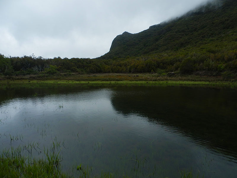
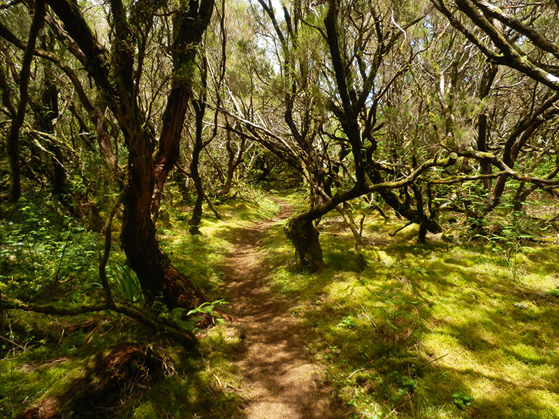
- Caminho das Cascatas da Levada Nova 4.7 Directions
This is a community-mapped route on AllTrails — it is not part of Madeira's official PR trail network managed by IFCN (the regional government's forests and nature-conservation authority), so it has no official open/closed status and no maintenance or signage guarantee. Check access and conditions locally before going.
| Difficulty | Moderate |
| Distance | 12.6 km |
| Route type | Loop |
| Estimated time | 5–5.5 hours |
| Community rating | 4.4★ from 123 hiker reviews on AllTrails |
| Trailhead | Near Ribeira Brava |
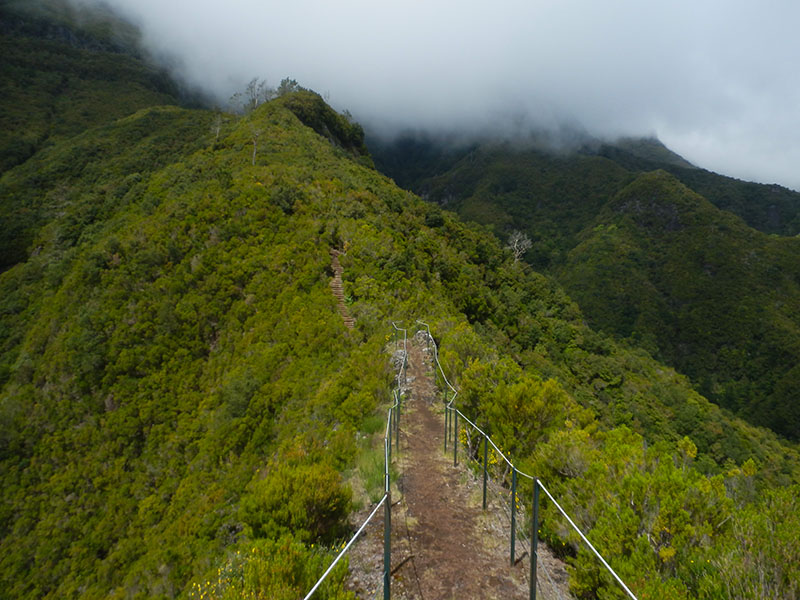
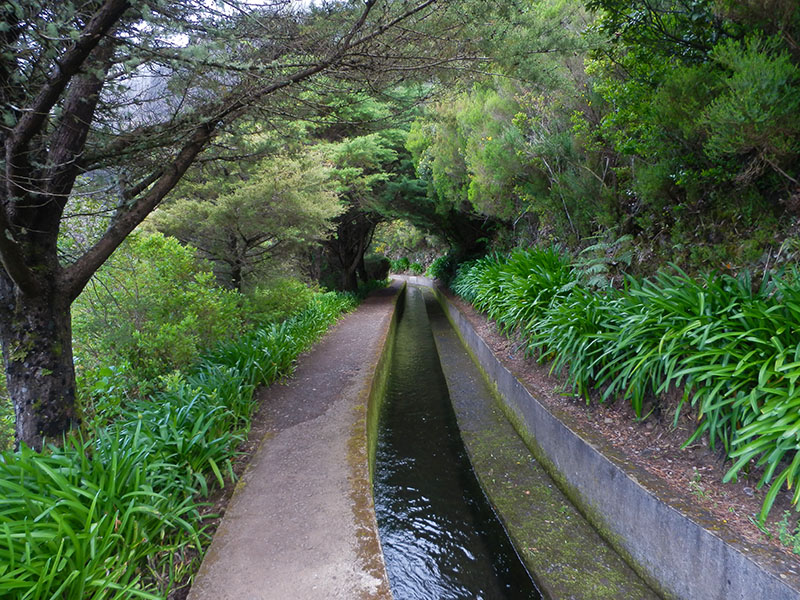
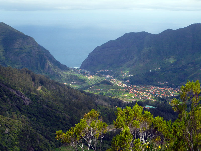
This route follows the famous Levada Nova, an old irrigation channel that once carried water across the hills to irrigate fields — including Madeira's famous banana plantations. The walk starts with an initial steep climb, then settles into a less demanding path alongside the levada, rolling over hills with sweeping views over Ribeira Brava and Tábua.
It's a satisfying loop that gives you a real flavour of Madeira's south-coast interior — terraced farmland, deep valleys, and glimpses of village life below.
Several related community routes share parts of the Levada Nova system and may suit you better depending on your fitness and time:
| Trail | Distance | Difficulty | Rating | Notes |
|---|---|---|---|---|
| Levada Nova – Levada do Moinho | 9.3 km (loop) | Moderate | 4.7★ (6,103 reviews) | The most popular — combines both levadas, includes a waterfall and a tunnel (bring a torch) |
| Caminho das Cascatas da Levada Nova | 7.7 km (out & back) | Hard | 4.7★ (283 reviews) | Starts in Lombada; famed for its waterfalls |
| Tábua – Levada Nova | 4.0 km (out & back) | Easy | 4.5★ (260 reviews) | Short, gentle section — ideal if you want a quicker walk |
All four are community routes (not official IFCN PR trails), so the same caveats about status and signage apply.
Want me to check the mountain weather forecast and IPMA warnings for the day you're planning to go, or look at how to get to the trailhead by bus?