💭 Thinking
How this was derived · 4 steps
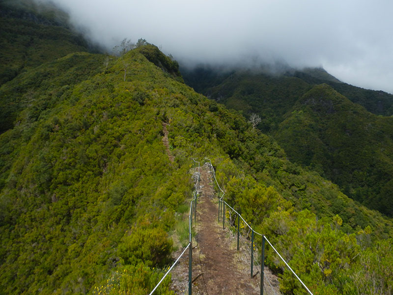
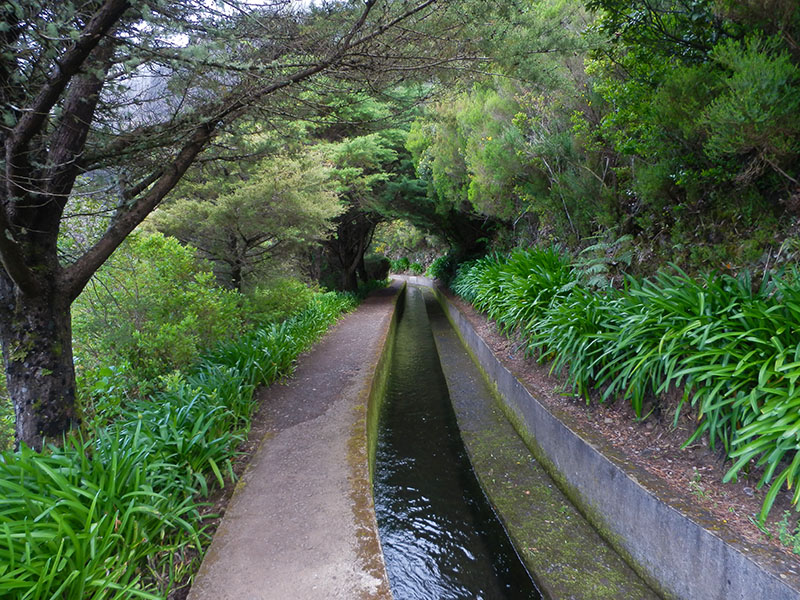
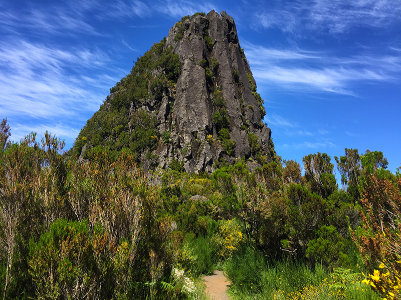
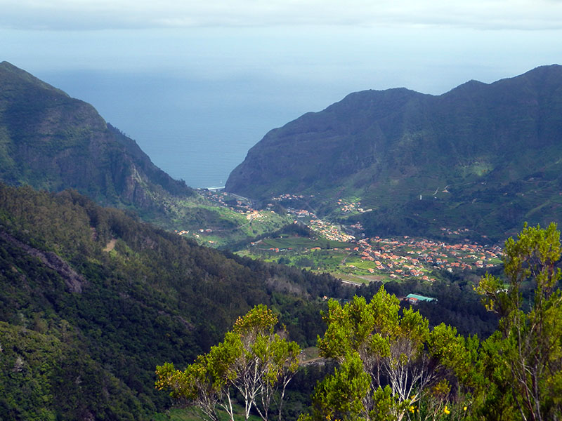
- Rota da Levada do Moinho 4.5 Directions
- Caminho das Cascatas da Levada Nova 4.7 Directions
The user asked about the "Ribeira da Tábua Circuit" hike. Based on my search, there's no official IFCN PR trail by that exact name. However, the area around Tábua (in the municipality of Ribeira Brava / Ponta do Sol) is famous for a network of community-mapped levada walks, and the closest match — and very likely what you're looking for — is the popular Levada Nova – Levada do Moinho loop, which is often referred to as the "Circuit of Ribeira da Tábua" or similar because it follows the Ribeira da Tábua valley.
Let me describe it, along with other nearby trails in the area:
Community route (mapped on AllTrails) — not part of Madeira's official PR trail network managed by IFCN, the regional government's forests and nature-conservation authority. It therefore has no official open/closed status and no maintenance/signage guarantee; check access and conditions locally before going.
| Distance | 9.3 km |
| Type | Loop (circuit) |
| Difficulty | Moderate |
| Rating | ★ 4.7 from 6,103 hiker reviews on AllTrails |
| Area | Madeira Natural Park |
| Trailhead | Near Lombada / Ponta do Sol |
This circular trail combines Levada Nova and Levada do Moinho, following the Ribeira da Tábua valley and offering panoramic views over the valleys and traditional poios (terraced farmland). Along the way you'll pass the ruins of old watermills (hence "Moinho" = mill) and the famous Levada Nova waterfall — a stunning cascade that tumbles right beside the path. The route includes a tunnel carved through the rock (bring a flashlight/torch), which adds a touch of adventure.
It's one of the most popular and highly-rated walks in all of Madeira — the 6,000+ reviews on AllTrails speak for themselves.
If you're interested in the area, there are several other community routes nearby:
| Trail | Distance | Difficulty | Type | Rating | Length |
|---|---|---|---|---|---|
| Rota da Levada do Moinho | 10.0 km | Moderate | Out & back | ★ 4.5 (453 reviews) | Starts at Lombada da Ponta do Sol |
| Caminho das Cascatas da Levada Nova | 7.7 km | Hard | Out & back | ★ 4.7 (283 reviews) | Focuses on the waterfall section |
| Tábua – Levada Nova | 4.0 km | Easy | Out & back | ★ 4.5 (260 reviews) | Shorter, starting near Tábua |
| Ribeira Brava – Levada Nova | 12.6 km | Moderate | Loop | ★ 4.4 (123 reviews) | Longer circuit from Ribeira Brava |
All of these are community-mapped routes — not official IFCN PR trails — so they have no official open/closed status and no guarantee of signage or maintenance.
The Tábua area sits at roughly 160 m elevation in the municipality of Ribeira Brava, on Madeira's sunny south coast. It's about a 30–35 minute drive from Funchal.
Want me to check the mountain weather forecast and IPMA warnings for the day you're planning to go?