💭 Thinking
How this was derived · 4 steps
- Vereda do Pico Branco e Terra Chã 4.8 Directions
Here's everything about the Vereda do Pico Branco e Terra Chã — Porto Santo's most iconic hike:
Island: Porto Santo
Managing authority: IFCN (Madeira's forests & nature-conservation authority)
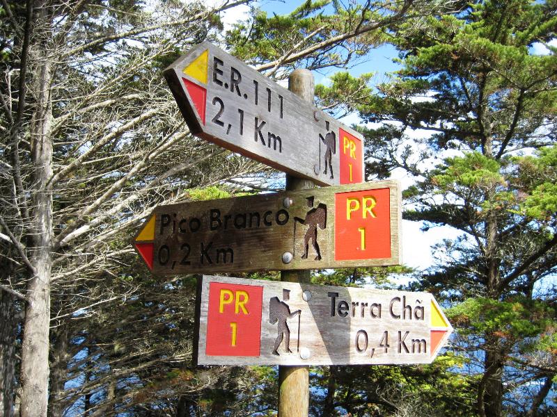
Official route: ER 111 → Pico Branco → Terra Chã
| Distance | 2.7 km one way (+ 2.7 km return) |
| Difficulty | Moderate |
| Duration | ~1 h 30 min |
| Start point | ER 120 |
| End point | Terra Chã |
| Max altitude | 450 m |
| Min altitude | 184 m |
| Access fee | €4.50 per visitor (> 12 years); free for children ≤ 12, via the SIMplifica portal |
⭐ 4.8 / 5 from 118 hiker reviews on AllTrails — one of Porto Santo's best-rated trails.
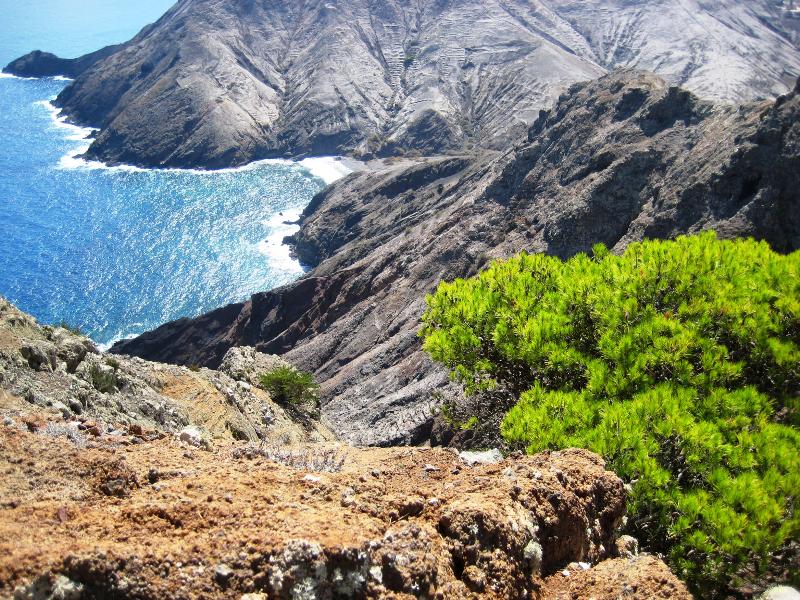
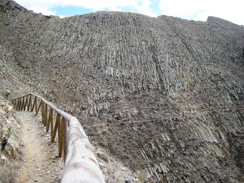
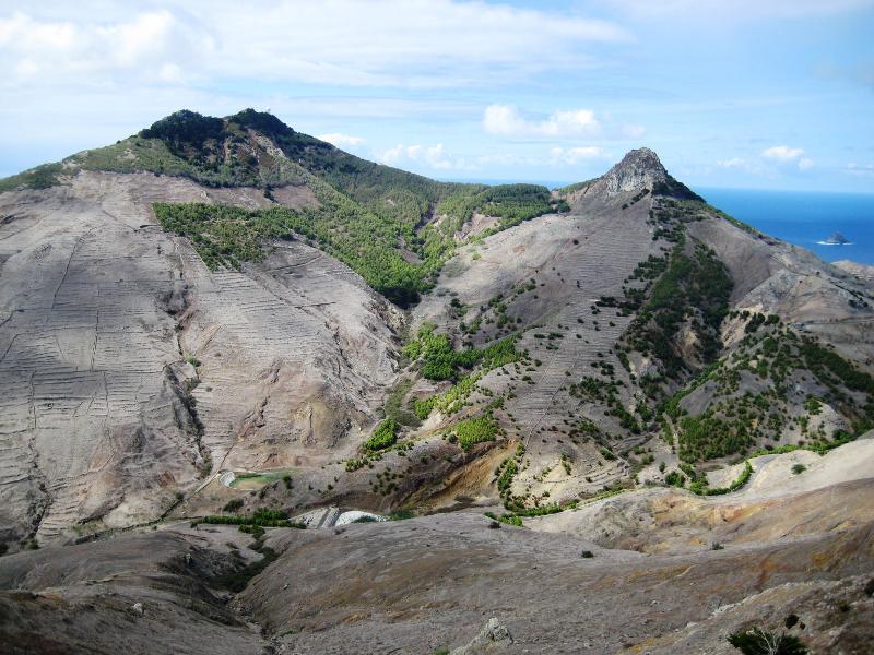
This trail takes you from the roadside at ER 120 up through Porto Santo's distinctive dry landscape to Pico Branco (the island's second-highest peak at 450 m) and then continues along the ridge to the Terra Chã plateau. The reward is stunning panoramic views over the entire island and, on clear days, across to Madeira. The vegetation shifts as you climb — from low coastal scrub to rarer endemic species clinging to the rocky slopes near the summit.
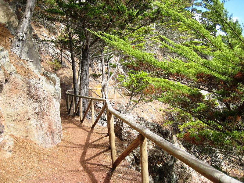
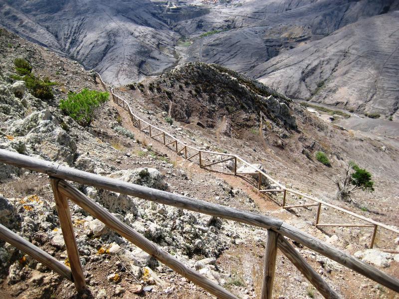
The route is well-maintained and easy to follow — a great option for families with older children, though the climb and exposure near the top mean it's rated moderate overall.
- Check the current trail status on OpenMadeira before setting out — open/closed conditions can change.
- The €4.50 access fee is payable via the SIMplifica portal — visitors over 12 pay; children 12 and under are exempt.
- Bring sun protection and water — Porto Santo is much drier and more exposed than Madeira, and there's little shade on this trail.
- Wear sturdy footwear — the path near the summit has rocky steps.
Photos from walkmeguide.com.
Would you like me to check the weather forecast for Porto Santo on the day you're planning to go?