💭 Thinking
How this was derived · 1 step


- Levada dos Cedros 4.5 Directions
- Vereda do Fanal 4.4 Directions
- Vereda da Ribeira da Janela 4.4 Directions
- Rota do Montado do Fanal 4.5 Directions
⚠️ Important: This is a community route mapped on AllTrails — not part of Madeira's official PR (Percurso Recomendado) trail network managed by IFCN (the regional government's forests & nature-conservation authority). It has no official open/closed status and no maintenance/signage guarantee; check access and conditions locally before going.
| Distance | 7.4 km |
| Route type | Loop |
| Difficulty | Moderate |
| Estimated time | 2–2.5 hours |
| Area | Madeira Natural Park |
| Community rating | ★ 4.5 from 189 hiker reviews on AllTrails |
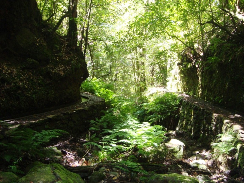
This circular route takes you through the entire Montado do Fanal, one of Madeira's most magical landscapes — centuries-old laurel forest (Laurissilva, a UNESCO World Heritage Site) often shrouded in mystical mist. Along the way you'll pass several highlights:
- The haystacks (palheiros) in the area known as the "noble city"
- O Fio — the old cable system that once transported firewood and feteira down to the cultivation fields at Ribeira Funda
- The majestic Tis trees — ancient, moss-covered icons of Fanal
- Lagoa do Fanal — the seasonal lagoon set among rolling green pastures
- Various viewpoints looking north toward the coast
The trailhead is near the Fanal area on the ER-209 road, in the municipality of Porto Moniz, up on the Paúl da Serra plateau.
Since the Rota do Montado do Fanal is an unofficial route, here are the official IFCN-recommended trails nearby for comparison:
| Trail | Distance | Difficulty | Access Fee |
|---|---|---|---|
| PR 14 — Levada dos Cedros | 7.2 km | Moderate | €4.50 (> 12 yrs) |
| PR 13 — Vereda do Fanal | 10.8 km | Moderate | €4.50 (> 12 yrs) |
| PR 15 — Vereda da Ribeira da Janela | 2.7 km | Moderate | €4.50 (> 12 yrs) |
The closest official trail is PR 14 Levada dos Cedros, which starts right in Fanal and shares much of the same stunning Laurissilva scenery — it's also rated 4.5★ (from over 1,100 reviews) and is a well-signposted, maintained alternative.
Want me to check the mountain weather forecast and IPMA warnings for Fanal before you go, or show you how to get there by bus?