💭 Thinking
How this was derived · 1 step
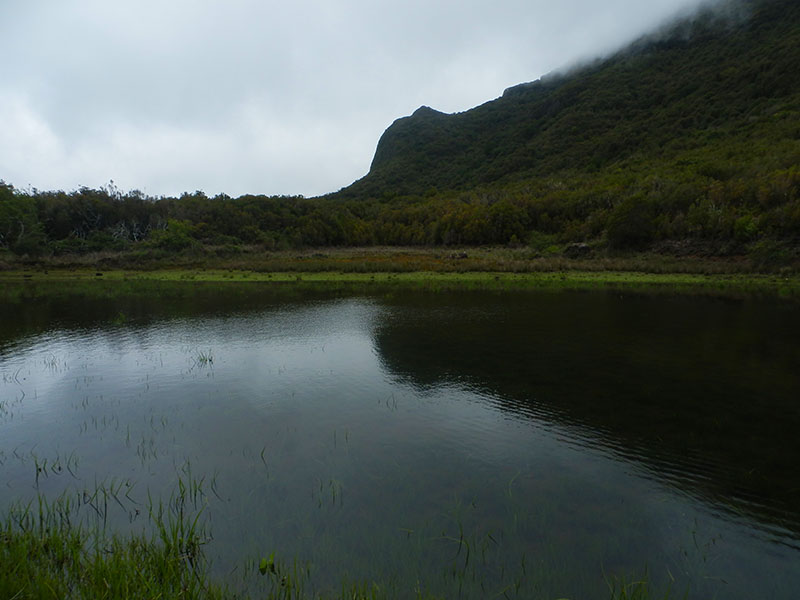
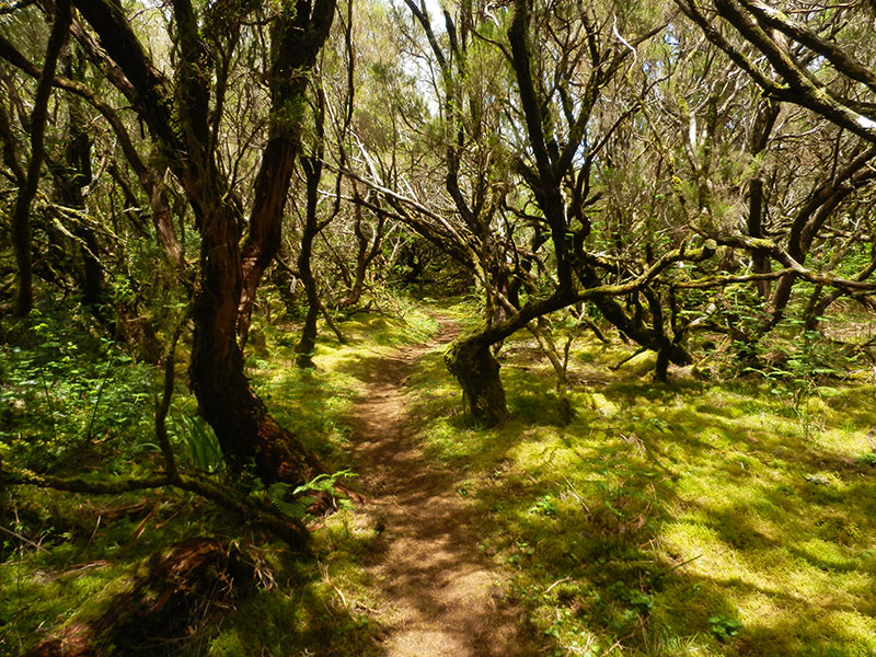
- Caminho do Pináculo e Folhadal 4.7 Directions
- Caminho do Norte Directions
- Vereda do Chão dos Louros Directions
- Caminho Real da Encumeada Directions
- Levada do Paul II – Um Caminho para todos Directions
- Levada Nova - Levada do Moinho 4.7 Directions
- Rota da Levada do Moinho 4.5 Directions
- Caminho das Cascatas da Levada Nova 4.7 Directions
- Tábua - Levada Nova 4.5 Directions
- Boa Morte - Tunnel do Espigão 4.4 Directions
- Ribeira Brava - Levada Nova 4.4 Directions
- Rota da Levada Nova a Lombada 4.4 Directions
This is a community route mapped on AllTrails — not part of Madeira's official PR trail network managed by IFCN (the regional government's forests & nature-conservation authority). That means it has no official open/closed status and no maintenance or signage guarantee, so check access and conditions locally before going.
| Difficulty | Easy |
| Length | 4.0 km |
| Route type | Out and back |
| Estimated time | 1–1.5 hours |
| Location | Near Tábua, municipality of Ribeira Brava |
| Community rating | 4.5★ from 260 hiker reviews on AllTrails |
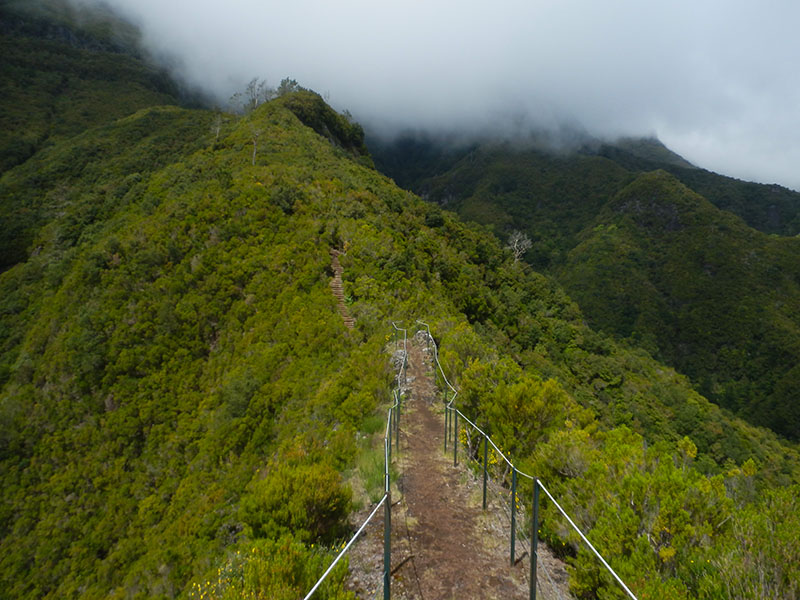
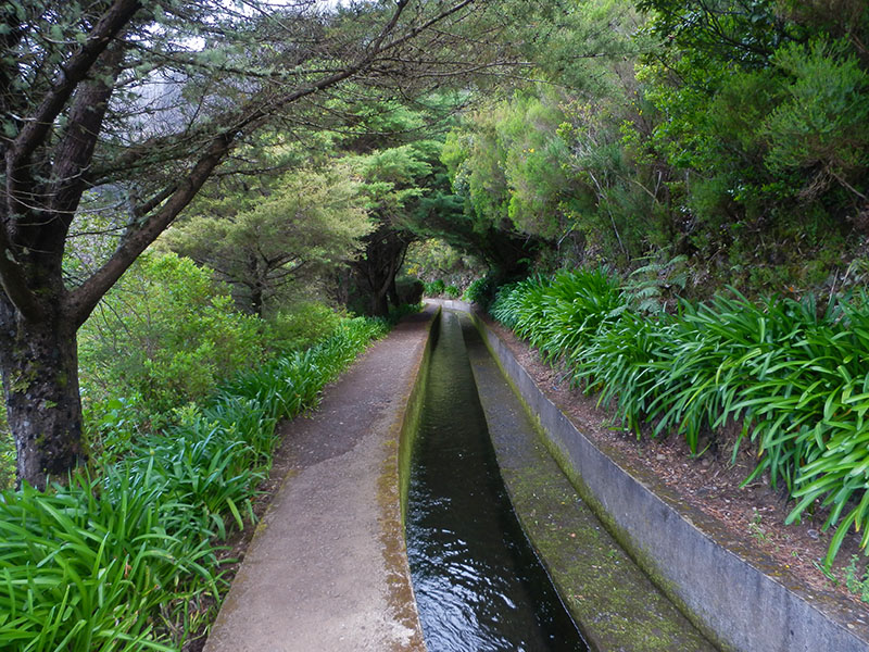
This linear route starts near the parish of Tábua, in the municipality of Ribeira Brava. It's a pleasant, accessible walk along the Levada Nova that lets you see this part of Madeira from a different perspective.
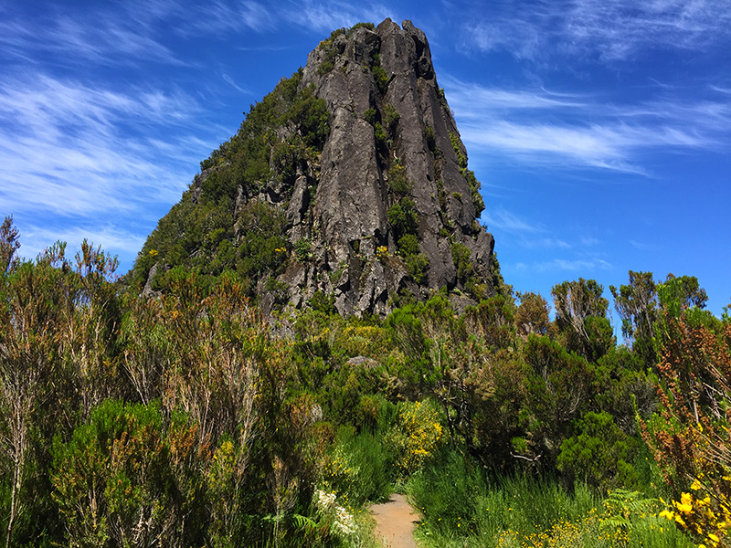
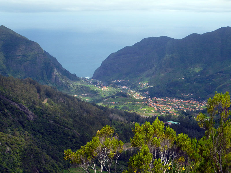
The scenic beauty is the main feature — between valleys and mountains, you get magnificent views over the villages of Ribeira Brava, with small settlements and cultivated plantations making up a unique landscape. It's an easy walk, suitable for most fitness levels.
- Directions to trailhead ↗ — routes from your own location
Because this is not an official IFCN-recommended PR trail, there is no guaranteed maintenance, signage, or official open/closed status. Always check local conditions before you go, and be prepared for sections that may be overgrown or less clearly marked than the official routes.
Would you like me to check the weather forecast for the Ribeira Brava area for the day you're planning to go, or find nearby official PR trails as an alternative?