Tell me about the Trilho Chã da Toca (Downhill) hike in Madeira
💭 Thinking
The user is asking about a specific hike called "Trilho Chã da Toca (Downhill)" in Madeira. Let me search for this trail using the find_hikes tool.The search didn't return results. Let me try a different query - maybe just "Chã da Toca" or the PRcode.The search for "Trilho Chã da Toca" didn't return a direct match in the official IFCN PR trail network. Let me search more specifically for this trail name - it might be in the AllTrails community catalogue. Let me try a broader search.The user is asking about "Trilho Chã da Toca (Downhill)" - this trail doesn't appear in any of my IFCN official trail searches or community trail searches. Let me try one more targeted search to see if it exists in the community trails catalog.The user is asking about "Trilho Chã da Toca (Downhill)" hike in Madeira. I've searched through the official IFCN PR trail network and the community AllTrails trails, and I cannot find a trail matching this name. Let me try one more specific search.
How this was derived · 2 steps
Trails near SantanaMap & photos


Official PR trail (IFCN) Community route (AllTrails — not official)
- Vereda da Ilha 4.6 Directions
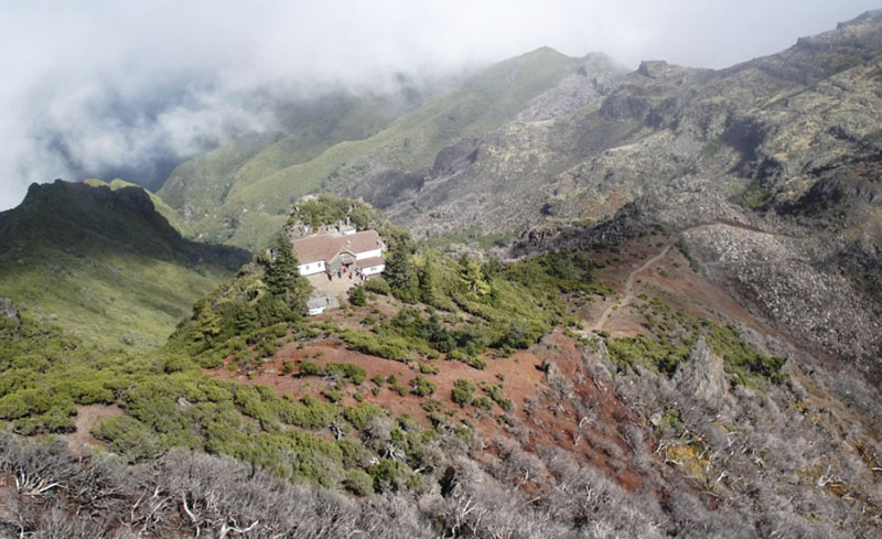
Photos: walkmeguide.com · green = official IFCN PR trail · amber = community route (AllTrails)
I wasn't able to find the Trilho Chã da Toca (Downhill) in our trail database — neither as an official IFCN PR trail nor as a community route on AllTrails. I searched by name (including variant spellings) across the island and in the Santana/Porto Moniz area, and it didn't match any recorded trail.
This means that, as far as our data covers:
- It's not one of Madeira's official PR (Percurso Recomendado) trails managed by IFCN — so it has no official open/closed status, managed route description, or access-fee information in the official register.
- It also doesn't appear in the wider AllTrails community catalogue of ~360 mapped Madeira/Porto Santo trails that we reference.
It's possible the name is a local/colloquial variant, a very new or recently renamed route, or a path that exists on other hiking platforms but not yet in our sources.
What I can suggest:
- If you have more details about the trail (municipality, start point, nearby landmark), I can search more precisely or find the closest official trails to that area.
- If you're looking for great downhill / descents in Madeira, popular options include Vereda do Urzal (PR 2 — Curral das Freiras → Boaventura, 10.3 km, rated Moderate) or Vereda da Ilha (PR 1.1 — Pico Ruivo → Ilha, 8.2 km, Moderate), both of which are sustained descents through dramatic scenery.
Would you like me to find the closest official trails to where the Chã da Toca route starts, or check the mountain weather forecast for your hiking day?
OpenMadeira can make mistakes — check the sources.