💭 Thinking
How this was derived · 1 step
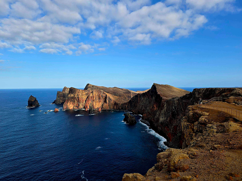


- Vereda da Ponta de S. Lourenço 4.7 Directions
- Vereda das Funduras 3.9 Directions
This is a community route mapped on AllTrails — not part of Madeira's official PR (Percurso Recomendado) trail network managed by IFCN (the regional government's forests & nature-conservation authority). It therefore has no official open/closed status and no maintenance or signage guarantee; check access and conditions locally before setting out.
| Route type | Loop |
| Distance | 6.9 km |
| Difficulty | Moderate |
| Rating | 4.4★ from 581 hiker reviews on AllTrails |
| Area | Madeira Natural Park |
| Trailhead | Near Caniçal, municipality of Machico |
Starting at Vereda da Boca do Risco – Caniçal, this circular trail takes you through the region's agricultural landscape and along Madeira's dramatic eastern coastline. The path winds through rocky mountains with breathtaking views over the coastline before climbing to Pico das Roçadas, then descending to meet the Levada do Caniçal — a former irrigation channel — with sweeping views over the town of Machico and the vast Atlantic Ocean.
It's a versatile route: not overly long at ~7 km, but with enough elevation and exposed terrain to keep it interesting. The Boca do Risco viewpoint alone is one of the east side's finest natural belvederes.
Since this is an unofficial route, here are the official IFCN-managed trails nearby if you'd prefer a signposted, maintained path:
| Trail | PR | Difficulty | Distance | AllTrails |
|---|---|---|---|---|
| Vereda da Ponta de S. Lourenço | PR 8 | Moderate | 4 km (one way) + return | 4.7★ · 7,989 reviews |
| Vereda das Funduras | PR 5 | Moderate | 8.7 km | 3.9★ · 184 reviews |
⚠️ PR 8 now requires a €4.50 access fee (free for visitors under 12), payable via the SIMplifica portal.
Want me to check the mountain weather forecast and IPMA warnings for the day you're planning to go, so you can judge conditions before heading out?