💭 Thinking
How this was derived · 2 steps
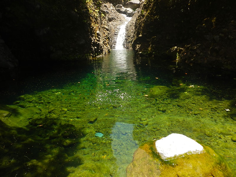
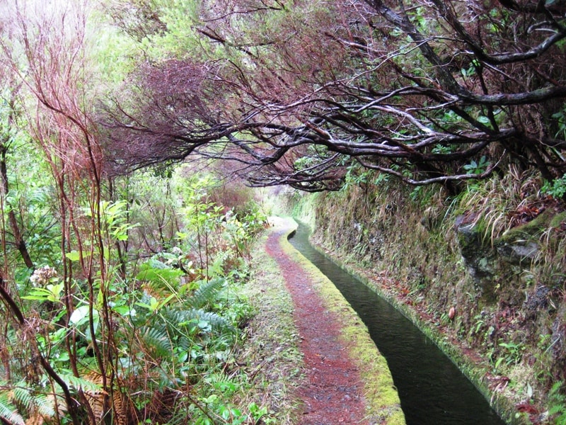
- Levada da Rocha Vermelha 4.2 Directions
- Levada do Alecrim 4.6 Directions
- Levada das 25 Fontes 4.5 Directions
The "Viewpoint above Arco da Calheta" isn't one of Madeira's official IFCN PR trails — it's a community route mapped on AllTrails, so it has no official open/closed status or signage guarantee. The best match is:
| Type | Community route (not an official IFCN PR trail) |
| Difficulty | Moderate |
| Distance | 5.6 km (loop) |
| Estimated time | 2–2.5 hours |
| Rating | ★ 4.3 (163 reviews on AllTrails) |
| Area | Madeira Natural Park |
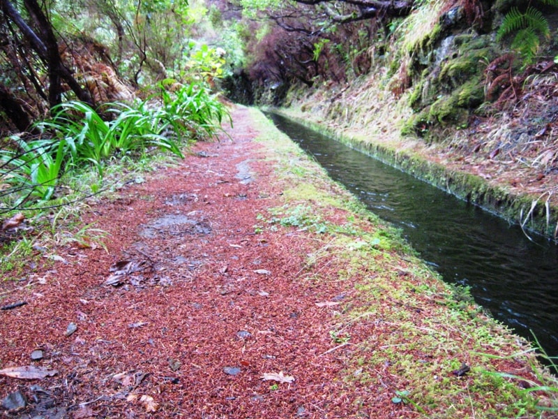
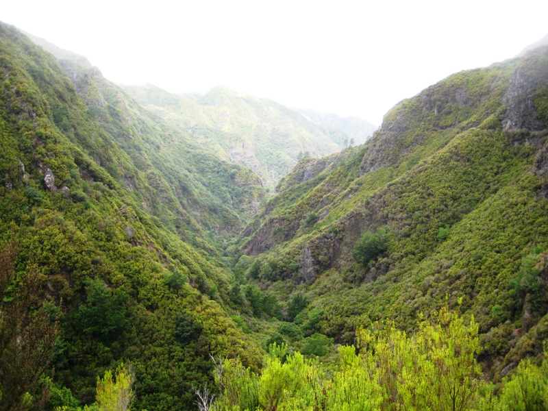
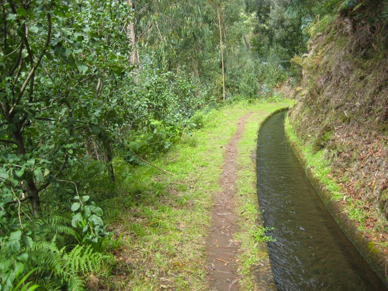
This circular route starts in Arco da Calheta and follows the Levada Nova, one of the island's most charming irrigation channels. The path is always surrounded by lush vegetation with panoramic views of the valley and the ocean. It continues to Sítio do Pinheiro, a tranquil spot where nature dominates the landscape, then returns via alternative trails completing the circuit.
➜ Directions to trailhead ↗ · AllTrails page ↗
If you enjoy the area, two more community routes pass through similar terrain:
- Caminho das Fontinhas – Caminho Cova do Arco – Levada Nova — 12.7 km loop, moderate, ~4.5–5 hrs, ★ 4.2 (118 reviews). A longer route through green hills with viewpoints, fountains, plantations, and a Levada Nova segment. Directions ↗ · AllTrails ↗
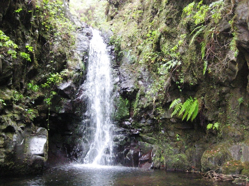
- Estrela – Levada do Alecrim — 11.4 km point-to-point, hard, ~4.5–5 hrs, ★ 4.6 (92 reviews). Climbs from the village of Estrela to Levada do Alecrim, passing the Chapel of Fátima and ending at the lagoon of Dona Beja, with waterfalls and dense vegetation. Directions ↗ · AllTrails ↗
The closest official IFCN trails (with maintained paths, signage, and a checkable open/closed status) are all in the Rabaçal area, about 11–17 minutes' drive from Arco da Calheta:
| Trail | Difficulty | Distance | Drive from Arco da Calheta |
|---|---|---|---|
| PR 28 – Levada da Rocha Vermelha | — | 10.7 km | ~11 min |
| PR 6.2 – Levada do Alecrim | Easy | 7 km return | ~17 min |
| PR 6 – Levada das 25 Fontes | Moderate | 8.6 km return | ~17 min |
The Rabaçal trails require an access fee (€4.50 for visitors > 12 years; free for ≤ 12 years), payable via the SIMplifica portal.
⚠️ Important: Since the Arco da Calheta routes are community-mapped rather than official PR trails, there's no official open/closed status and no maintenance or signage guarantee. Check access and conditions locally before setting out. For the official Rabaçal trails, verify the current status before you go.
Want me to check the mountain weather forecast and IPMA warnings for the day you're planning to hike, or show you a video of the area?